Canton in Lewis County, Missouri — The American Midwest (Upper Plains)
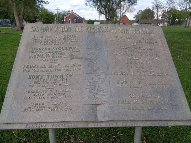
History Along The Mississippi River Parkway
"Most westerly Missouri town on Mississippi bank"
Founded May 30, 1830
—
Culver-Stockton
First coeducational college west of Mississippi. Overlooks river bluffs.
Established 1853
—
Federal Lock and Dam No. 20, Completed May, 1934
—
Home town of
James S. Green
Senator 1857-1861
Feb. 28, 1817 - Jan. 19, 1870
—
Frederick C. Hibbard
Noted sculptor
June 15, 1881 - Dec. 12, 1950
—
James T. Lloyd
Congressman 1897-1917
August 28, 1857 - April 3, 1944
—
This section of the Great River Road of Mid-America developed in co-operation with National Park Service U.S. Bureau Public Roads Missouri Highway Commission and Town of Canton
Officially dedicated by Governor Phil M. Donnelly
March 10, 1956
Erected by Civic Groups of Canton.
Topics. This historical marker is listed in these topic lists: Roads & Vehicles • Settlements & Settlers • Waterways & Vessels.
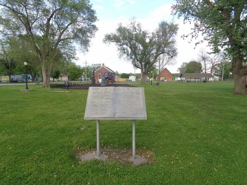
Location. 40° 7.52′ N, 91° 31.098′ W. Marker is in Canton, Missouri, in Lewis County. Marker is on South 4th Street (State Highway B) south of Green Street, on the right when traveling north. Marker is located in Martin Park. Touch for map. Marker is at or near this postal address: 605 S 4th St, Canton MO 63435, United States of America. Touch for directions.
Other nearby markers. At least 8 other markers are within 14 miles of this marker, measured as the crow flies. Canton (within shouting distance of this marker); Lincoln School (within shouting distance of this marker); LaGrange on the River (approx. 5.4 miles away); La Grange Missouri (approx. 5.8 miles away); La Grange Artesian Well (approx. 5.9 miles away); Welcome to Illinois (approx. 11.4 miles away in Illinois); Indian Removals - A Memorial (approx. 13˝ miles away in Illinois); Stone Smokehouse (approx. 13˝ miles away in Illinois). Touch for a list and map of all markers in Canton.
Credits. This page was last revised on March 31, 2024. It was originally submitted on May 23, 2020, by Jason Voigt of Glen Carbon, Illinois. This page has been viewed 93 times since then and 8 times this year. Photos: 1, 2. submitted on May 27, 2020, by Jason Voigt of Glen Carbon, Illinois. • Devry Becker Jones was the editor who published this page.

