Near London in Kimble County, Texas — The American South (West South Central)
Reichenau Gap
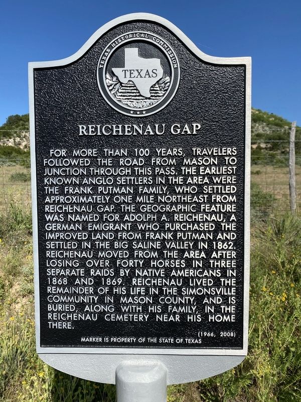
Photographed by Brian Anderson, May 17, 2020
1. Reichenau Gap Marker
Erected 1966 by Texas Historical Commission. (Marker Number 4238.)
Topics. This historical marker is listed in this topic list: Natural Features.
Location. 30° 39.177′ N, 99° 35.269′ W. Marker is near London, Texas, in Kimble County. It is on U.S. 377 0.3 miles north of County Road 340, on the right when traveling north. Touch for map. Marker is in this post office area:
this page online

Regionally, this marker is in the Hill Country. Globally, it is in North America, a Gulf of Mexico state, the Western Hemisphere, the Western World, and the Anglosphere. Historically, it finds itself in what was once New Spain, the Republic of Texas, and one of the Confederate States of America.
Other nearby markers. At least 8 other markers are within 15 miles of this marker, measured as the crow flies: London Post Office (approx. 1.7 miles away); London Town Square (approx. 1.9 miles away); Old Beef Trail Crossing (approx. 4.6 miles away); Teacup Mountain (approx. 9.4 miles away); Cloud Point (approx. 12.8 miles away); Miller-Browning Colony (approx. 12.8 miles away); The Oliver Pecan (approx. 13.9 miles away); First Court in Kimble County (approx. 14½ miles away). Touch for a list and map of all markers in London.
More about this marker. Marker is dual dated 1966 and 2008. This probably means it was either refurbished or relocated to this site in 2008.
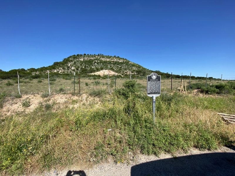
Photographed by Brian Anderson, May 17, 2020
2. Reichenau Gap Marker
Credits. This page was last revised on May 23, 2020. It was originally submitted on May 23, 2020, by Brian Anderson of New Albany, Ohio. This page has been viewed 1,915 times since then and 257 times this year. Photos: 1, 2. submitted on May 23, 2020, by Brian Anderson of New Albany, Ohio.
