Franklin in Williamson County, Tennessee — The American South (East South Central)
Boyd's Mill
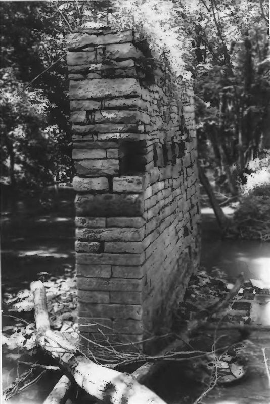
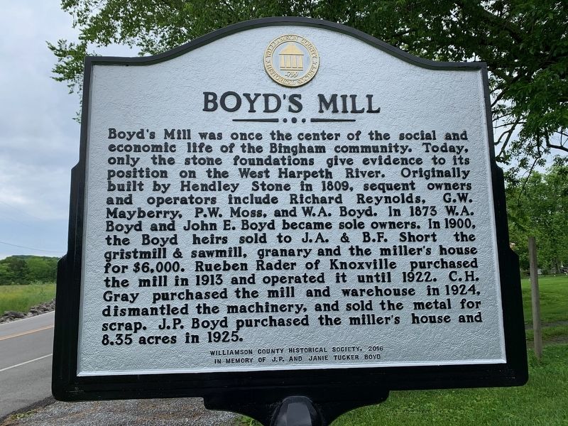
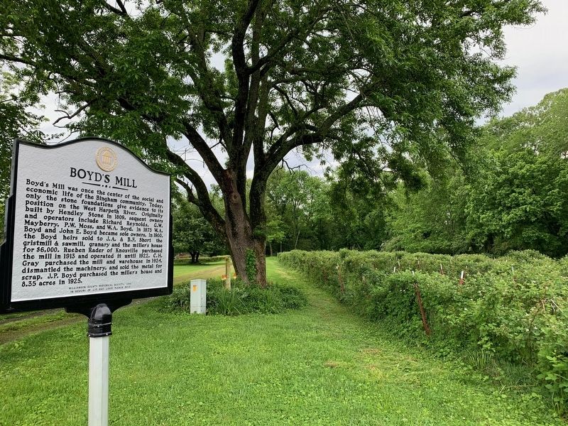
Boyd's Mill was once the center of the costal and economic life of the Bingham community. Today, only the stone foundations give evidence to its position on the West Harpeth River. Originally built by Hendley Stone in 1809, sequent owners and operators include Richard Reynolds, G.W. Mayberry, P.W. Moss, and W.A. Boyd. In 1873 W.A. Boyd and John E. Boyd became sole owners. In 1900, the Boyd heirs sold to J.A. & B.F. Short the gristmill & sawmill, granary and the miller's house for $6,000. Rueben Rader of Knoxville purchased the mill in 1913 and operated it until 1922. C.H. Gray purchased the mill and warehouse in 1924, dismantled the machinery, and sold the metal for scrap. J.P. Boyd purchased the miller's house and 8.35 acres in 1925.
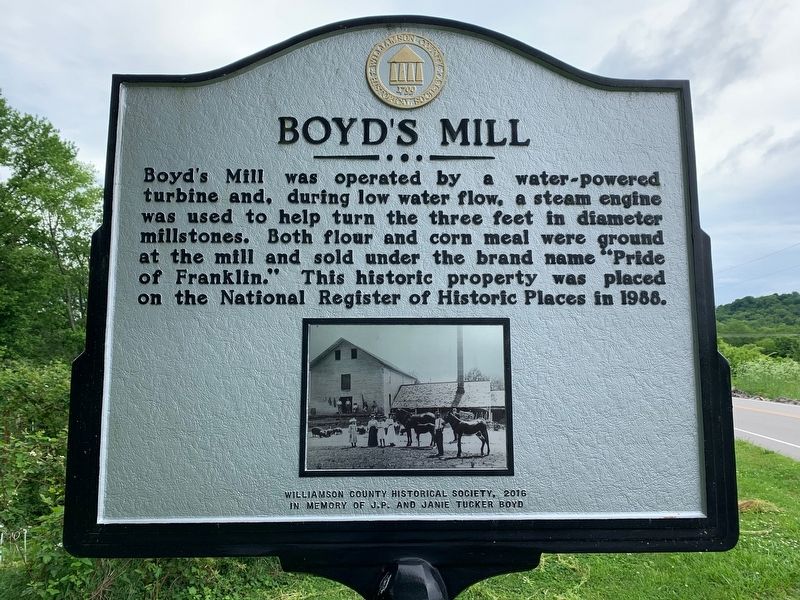
Boyd's Mill was operated by a water-powered turbine and, during low water flow, a steam engine was used to help turn the three feet in diameter millstones. Both flour and corn meal were ground at the mill and sold under the brand name "Pride of Franklin." This historic property was placed on the National Register of Historic Places in 1988.
Erected 2016 by Williamson County Historical Society.
Topics and series. This historical marker is listed in these topic lists: Industry & Commerce • Settlements & Settlers. In addition, it is included in the Tennessee – Williamson County Historical Society series list.
Location. 35° 55.348′ N, 86° 58.029′ W. Marker is in Franklin, Tennessee, in Williamson County. Marker is on Boxley Valley Road, 0.2 miles south of Boyd Mill Pike, on the right when traveling south. Touch for map. Marker is at or near this postal address: 3218 Boxley Valley Rd, Franklin TN 37064, United States of America. Touch for directions.
Other nearby markers. At least 8 other markers are within 3 miles of this marker, measured as the crow flies. William Irby Boyd Homestead ca. 1807 (approx. 0.2 miles away); Bingham (approx. 0.3 miles away); Franklin-Hillsboro Turnpike / Franklin's Water Supply (approx. 1.7 miles away); Glass Mounds Archaeological Site (approx. 2 miles away); Leiper's Fork (approx. 2.3 miles away); Boyd Mill Pike / Franklin-South Harpeth Turnpike (approx. 2.4 miles away); Westhaven Community / William White Cemetery (approx. 2.4 miles away); Bank of Leiper's Fork / Hillsboro Methodist Church (approx. 2˝ miles away). Touch for a list and map of all markers in Franklin.

via NPS, unknown
3. Boyd Mill Ruins
National Register of Historic Places Digital Archive on NPGallery website entry
Click for more information.
Click for more information.
Credits. This page was last revised on January 8, 2022. It was originally submitted on May 24, 2020. This page has been viewed 1,307 times since then and 70 times this year. Photos: 1, 2. submitted on May 24, 2020. 3. submitted on January 8, 2022, by Larry Gertner of New York, New York. 4. submitted on May 24, 2020. • Devry Becker Jones was the editor who published this page.


