Pownal in Bennington County, Vermont — The American Northeast (New England)
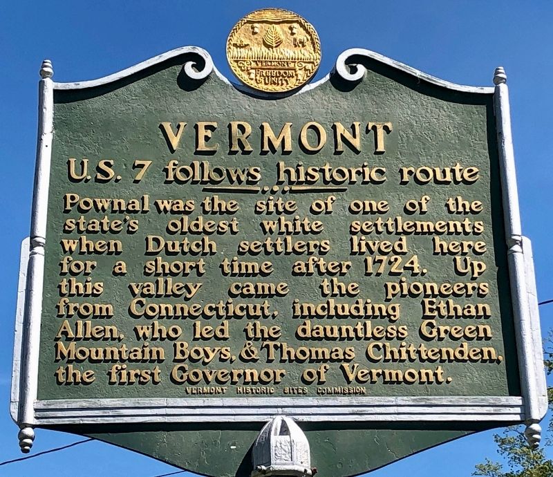
Vermont U.S. 7 follows historic route
Erected by Vermont Historic Sites Commission.
Topics. This historical marker is listed in these topic lists: Colonial Era • Patriots & Patriotism • Settlements & Settlers. A significant historical year for this entry is 1724.
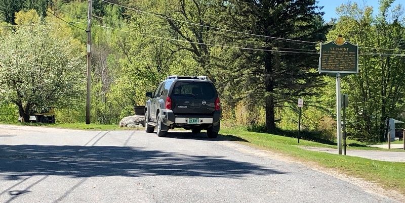
Location. 42° 47.706′ N, 73° 13.428′ W. Marker is in Pownal, Vermont, in Bennington County. Marker is on Center Street south of N Pownal Road, on the left when traveling south. Touch for map. Marker is at or near this postal address: 467 Center St, Pownal VT 05261, United States of America. Touch for directions.
Other nearby markers. At least 8 other markers are within 6 miles of this marker, measured as the crow flies. Pownal (approx. 2.3 miles away); Brimmer Farm (approx. 4.9 miles away in New York); The Birthplace of American Foreign Missions · 1806 (approx. 5.6 miles away in Massachusetts); Here Stood the West Hoosac Blockhouse (approx. 5.6 miles away in Massachusetts); Site of West Hoosac Fort (approx. 5.6 miles away in Massachusetts); 1753 House (approx. 5.7 miles away in Massachusetts); Veterans Memorial (approx. 5.7 miles away in Massachusetts); World Wars Memorial (approx. 5.7 miles away in Massachusetts).
Credits. This page was last revised on December 6, 2020. It was originally submitted on May 25, 2020, by Dennis Gilkenson of Saxtons River, Vermont. This page has been viewed 183 times since then and 19 times this year. Photos: 1, 2. submitted on May 25, 2020, by Dennis Gilkenson of Saxtons River, Vermont. • Michael Herrick was the editor who published this page.

