Brattleboro in Windham County, Vermont — The American Northeast (New England)
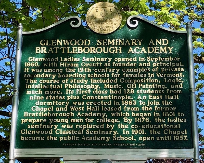
Glenwood Seminary and Brattleborough Academy
Inscription.
Glenwood Ladies’ Seminary opened in September 1860, with Hiram Orcutt as founder and principal. It was among the 19th-century examples of private secondary boarding schools for females in Vermont. The course of study included Composition, Logic, Intellectual Philosophy, Music, Oil Painting, and much more. Its first class had 128 students from nine states plus Constantinople. An East Hall dormitory was erected in 1863 to join the Chapel and West Hall leased from the former Brattleborough Academy, which began in 1801 to prepare young men for college. By 1876, the ladies’ seminary was replaced by the co-educational Glenwood Classical Seminary. In 1901, the Chapel became the public Academy School, open until 1957.
Erected 2019 by Vermont Division for Historic Preservation.
Topics. This historical marker is listed in these topic lists: Churches & Religion • Education • Women. A significant historical month for this entry is September 1860.
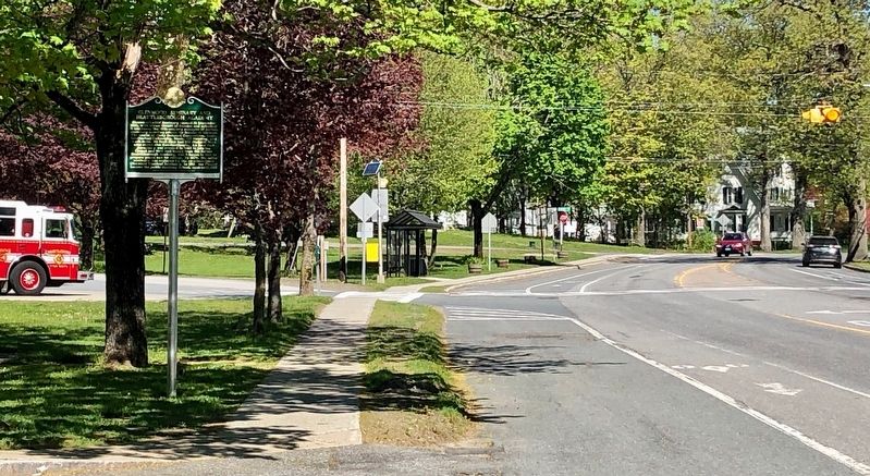
Location. 42° 51.162′ N, 72° 35.952′ W. Marker is in Brattleboro, Vermont, in Windham County. Marker is on Western Avenue (Vermont Route 9) near South Street, on the left when traveling west. Touch for map. Marker is at or near this postal address: 869 Western Avenue, Brattleboro VT 05301, United States of America. Touch for directions.
Other nearby markers. At least 8 other markers are within 2 miles of this marker, measured as the crow flies. Mary Wilkins Freeman (here, next to this marker); West Brattleboro / Molly Stark Byway (approx. 0.7 miles away); Creamery Bridge Native Plant Restoration Project (approx. 0.7 miles away); a different marker also named Creamery Bridge Native Plant Restoration Project (approx. 0.7 miles away); Brattleboro / Molly Stark Byway (approx. 1.6 miles away); Estey Organ Company (approx. 1.9 miles away); The First Building of the Centre Congregational Church (approx. 2 miles away); Brattleboro Civil War Monument (approx. 2 miles away). Touch for a list and map of all markers in Brattleboro.
Credits. This page was last revised on August 5, 2023. It was originally submitted on May 25, 2020, by Dennis Gilkenson of Saxtons River, Vermont. This page has been viewed 188 times since then and 17 times this year. Photos: 1, 2. submitted on May 25, 2020, by Dennis Gilkenson of Saxtons River, Vermont. • Michael Herrick was the editor who published this page.

