Woodbury in Cannon County, Tennessee — The American South (East South Central)
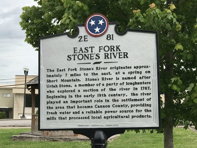
East Fork Stone's River
Erected by Tennessee Historical Commission. (Marker Number 2E 81.)
Topics and series. This historical marker is listed in these topic lists: Industry & Commerce • Settlements & Settlers • Waterways & Vessels. In addition, it is included in the Tennessee Historical Commission series list. A significant historical year for this entry is 1767.
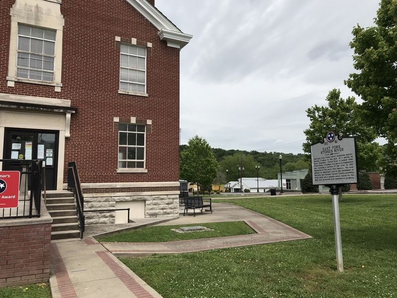
Location. 35° 49.691′ N, 86° 4.214′ W. Marker is in Woodbury, Tennessee, in Cannon County. Marker is on North Cannon Street north of West Main Street (U.S. 70S), on the left when traveling north. Marker is on the east side of courthouse grounds. Touch for map. Marker is at or near this postal address: 200 West Main Street, Woodbury TN 37190, United States of America. Touch for directions.
Other nearby markers. At least 8 other markers are within walking distance of this marker. Woodbury in the Civil War (within shouting distance of this marker); World War I-II Memorial (within shouting distance of this marker); Highway 70S Mile Marker Stone (within shouting distance of this marker); Early Industry (within shouting distance of this marker); Baptist Female College – Adams House (approx. 0.3 miles away); Forrest Rested Here (approx. 0.7 miles away); The Trail of Tears (approx. 0.7 miles away); Cannon County Confederate Monument (approx. 0.9 miles away). Touch for a list and map of all markers in Woodbury.
Credits. This page was last revised on May 25, 2020. It was originally submitted on May 25, 2020, by Duane and Tracy Marsteller of Murfreesboro, Tennessee. This page has been viewed 378 times since then and 49 times this year. Photos: 1, 2. submitted on May 25, 2020, by Duane and Tracy Marsteller of Murfreesboro, Tennessee. • Devry Becker Jones was the editor who published this page.

