Micanopy in Alachua County, Florida — The American South (South Atlantic)
Battle of Micanopy
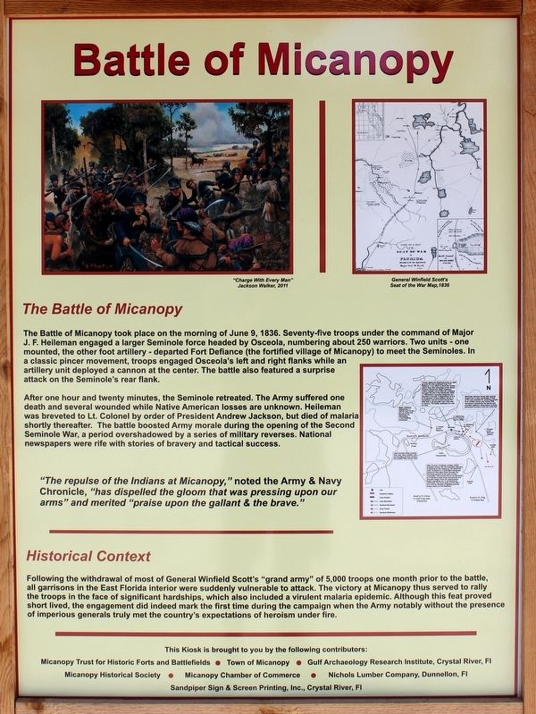
The Battle of Micanopy
The Battle of Micanopy took place on the morning of June 9, 1836. Seventy-five troops under the command of Major J.F. Heileman engaged a larger Seminole force headed by Osceola, numbering about 250 warriors. Two units-one mounted, the other foot artillery-departed Fort Defiance (the fortified village of Micanopy) to meet the Seminoles. In a classic pincer movement, troops engaged Osceola's left and right flanks while an artillery unit deployed a cannon at the center. The battle also featured a surprise attack on the Seminole's rear flank.
After one hour and twenty minutes, the Seminole retreated. The Army suffered one death and several wounded while Native American losses are unknown. Heileman was breveted to Lt. Colonel by order of President Andrew Jackson, but died of malaria shortly thereafter. The battle boosted Army morale during then opening of the Second Seminole War, a period overshadowed by a series of military reverses. National newspapers were rife with stories of bravery and tactical success.
"The repulse of the Indians at Micanopy," noted the Army & Navy Chronicle, "has dispelled the gloom that was pressing upon our arms" and merited "praise upon the gallant & the brave."
Historical Context
Following the withdrawal of most of General Winfield Scott's "grand army" of 5,000 troops one month prior to the battle, all garrisons in the East Florida interior were suddenly vulnerable to attack. The victory at Micanopy thus served to rally the troops in the face of significant hardships, which also included a virulent malaria epidemic. Although this feat proved short lived, the engagement did indeed mark the first time during the campaign when the Army notably without the presence of imperious generals truly met the country's expectations of heroism under fire.
Erected 2017 by Micanopy Trust for Historical Forts and Battlefields, Town of Micanopy, Gulf Archaeology Research Institute, Crystal River, FL, Micanopy Historical Society, Micanopy Chamber of Commerce, Nichols Lumber Company, Dunnellon, FL, Sandpiper Sign & Screen Print.
Topics and series. This historical marker is listed in these topic lists: Native Americans • Wars, US Indian. In addition, it is included in the Former U.S. Presidents: #07 Andrew Jackson series list. A significant historical date for this entry is June 9, 1836.
Location. 29° 30.155′ N, 82° 16.181′ W. Marker is in Micanopy, Florida, in Alachua County. Marker is on Southeast Tuscawilla Road, 0.3 miles west of U.S. 441, on the right when traveling west. Marker is in Micanopy Native American Heritage Preserve. Touch for map. Marker is at or near this postal address: 406 Southeast Tuscawilla Road, Micanopy FL 32667, United States of America. Touch for directions.
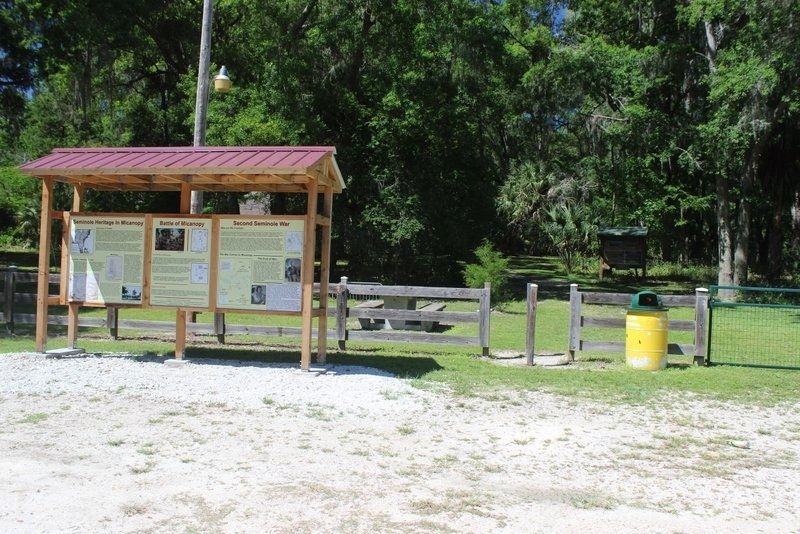
Other nearby markers. At least 8 other markers are within walking distance of this marker. Seminole Heritage in Micanopy (here, next to this marker); Second Seminole War (here, next to this marker); Stagecoach Stop (approx. 0.6 miles away); William Bartram (approx. 0.6 miles away); Steamboat Chacala Anchor (approx. 0.6 miles away); Micanopy Veterans Memorial (approx. 0.6 miles away); Moses Elias Levy (approx. 0.6 miles away); Micanopy (approx. 0.6 miles away). Touch for a list and map of all markers in Micanopy.
Credits. This page was last revised on May 27, 2020. It was originally submitted on May 25, 2020, by Tim Fillmon of Webster, Florida. This page has been viewed 680 times since then and 110 times this year. Photos: 1, 2. submitted on May 25, 2020, by Tim Fillmon of Webster, Florida. • Bernard Fisher was the editor who published this page.

