Lafayette in Knox County, Illinois — The American Midwest (Great Lakes)
Fraker's Grove
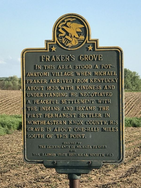
Photographed by Duane and Tracy Marsteller, May 23, 2020
1. Fraker's Grove Marker
Erected 1963 by The Descendants of Michael Fraker and The Illinois State Historical Society.
Topics and series. This historical marker is listed in these topic lists: Indigenous Peoples and Communities • Peace • Settlements & Settlers. In addition, it is included in the Illinois State Historical Society series list. A significant historical year for this entry is 1830.
Location. 41° 6.335′ N, 90° 0.239′ W. Marker is in Lafayette, Illinois, in Knox County. It is on Illinois Route 17 0.6 miles west of Golf Course Road, on the right when traveling east. Touch for map. Marker is in this post office area: La Fayette IL 61449, United States of America. Touch for directions.

Regionally, this marker is in Central Illinois. It is also in the American Midwest and in the Corn Belt. Globally, it is in North America,
this page online
Other nearby markers. At least 8 other markers are within 5 miles of this marker, measured as the crow flies: Our Gävlebocken (approx. 4.7 miles away); The Scrap Drive of 1942 (approx. 4.7 miles away); Hayes Pump and Planter Company (approx. 4.7 miles away); Olof Krans (approx. 4.7 miles away); Sgt. Schuyler Brent Patch (approx. 4.7 miles away); Wistrand Manufacturing Co. and the Blue Star line (approx. 4.7 miles away); To the Sons of this Community Who Gave Their Future to Preserve Our Heritage (approx. 4.7 miles away); The Galva Creamery (approx. 4.7 miles away).
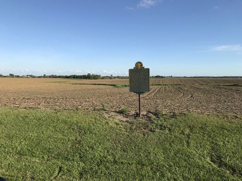
Photographed by Duane and Tracy Marsteller, May 23, 2020
2. Fraker's Grove Marker

Photographed by Mallory Fraker, May 16, 2025
3. Fraker's Grove Marker
Don James Fraker (Great, Great, Great Grandson of Michael Fraker)
Ashley Fraker-Fitzgerald & Mallory Fraker (Great, Great, Great, Great Granddaughters of Michael Fraker)
Credits. This page was last revised on May 18, 2025. It was originally submitted on May 27, 2020, by Duane and Tracy Marsteller of Murfreesboro, Tennessee. This page has been viewed 601 times since then and 47 times this year. Photos: 1, 2. submitted on May 27, 2020, by Duane and Tracy Marsteller of Murfreesboro, Tennessee. 3. submitted on May 16, 2025, by Mallory Fraker of Renton, Washington. • Devry Becker Jones was the editor who published this page.
