Peoria in Peoria County, Illinois — The American Midwest (Great Lakes)
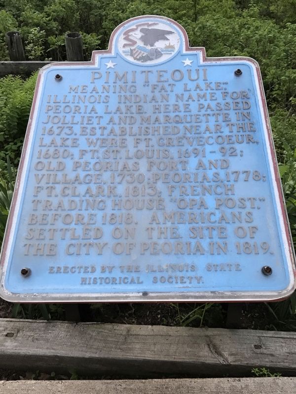
Pimiteoui
Erected by The Illinois State Historical Society.
Topics and series. This historical marker is listed in these topic lists: Colonial Era • Exploration • Forts and Castles • Native Americans • Settlements & Settlers. In addition, it is included in the Illinois State Historical Society series list. A significant historical year for this entry is 1673.
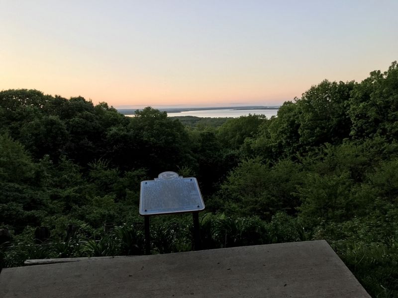
Location. 40° 44.82′ N, 89° 34.115′ W. Marker is in Peoria, Illinois, in Peoria County. Marker can be reached from North Grandview Drive just east of Irving Park Place, on the left when traveling south. Marker is in pullout area. Touch for map. Marker is at or near this postal address: 4905 N Grandview Dr, Peoria Heights IL 61616, United States of America. Touch for directions.
Other nearby markers. At least 8 other markers are within 3 miles of this marker, measured as the crow flies. Springdale Cemetery (approx. 1.7 miles away); Revolutionary War Veteran (approx. 1.8 miles away); Springdale Cemetery & Mausoleum (approx. 1.9 miles away); Zeally Moss (approx. 1.9 miles away); a different marker also named Zeally Moss (approx. 1.9 miles away); Peoria's First Airport (approx. 2 miles away); Camp Lyon (approx. 2.2 miles away); Camp Peoria (approx. 3 miles away). Touch for a list and map of all markers in Peoria.
Credits. This page was last revised on May 28, 2020. It was originally submitted on May 27, 2020, by Duane and Tracy Marsteller of Murfreesboro, Tennessee. This page has been viewed 376 times since then and 44 times this year. Photos: 1, 2. submitted on May 27, 2020, by Duane and Tracy Marsteller of Murfreesboro, Tennessee. • Devry Becker Jones was the editor who published this page.

