Winchester, Virginia — The American South (Mid-Atlantic)
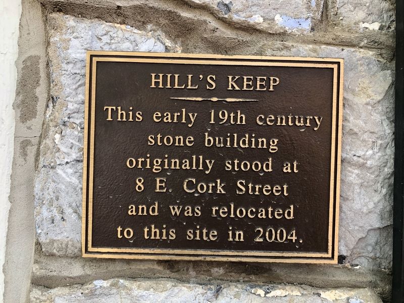
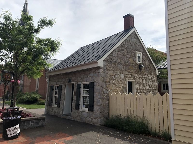
Hill's Keep
Topics. This historical marker is listed in these topic lists: Architecture • Notable Buildings. A significant historical year for this entry is 2004.
Location. 39° 10.94′ N, 78° 9.972′ W. Marker is in Winchester, Virginia. Marker is on South Loudoun Street just north of West Cork Street (U.S. 50), on the right when traveling north. Touch for map. Marker is at or near this postal address: 136 S Loudoun St, Winchester VA 22601, United States of America. Touch for directions.
Other nearby markers. At least 8 other markers are within walking distance of this marker. Photos of Old Town Winchester (a few steps from this marker); First Presbyterian Church (within shouting distance of this marker); Early 19th Century Stone Building (within shouting distance of this marker); James R. Wilkins, Sr. (about 300 feet away, measured in a direct line); Peggy Wolfe McKee, Mary Bruce Glaize, Martha Wolfe (about 300 feet away); Washington Becomes a Burgess for Frederick County (about 300 feet away); Cannon Used by George Washington (about 400 feet away); The Godfrey Miller Home (about 400 feet away). Touch for a list and map of all markers in Winchester.
Credits. This page was last revised on May 28, 2020. It was originally submitted on May 28, 2020, by Devry Becker Jones of Washington, District of Columbia. This page has been viewed 186 times since then and 32 times this year. Photos: 1, 2. submitted on May 28, 2020, by Devry Becker Jones of Washington, District of Columbia.

