Romney in Hampshire County, West Virginia — The American South (Appalachia)
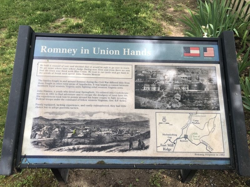
Romney in Union Hands
We held a counsel of war and decided that it would be safe to go over to town. We got some where near where Judge Dailey now lives and from there we saw that the town was thick with Blue Coats. We took our heels and got back to the woods at break neck speed. John Starnes Memoir
The battles fought in and around Romney during the Civil War differed little from those fought in other rural areas of Appalachia. It was largely a contest between brothers: loyal western Virginia units fighting rebel western Virginia units.
John Starnes, a youth who lived near Springfield, VA enlisted into Confederate service in 1861 to find adventure and to escape the drudgery of rural farm life. His experiences took him to points around his home county to fight invading Federal troops under the command of fellow western Virginian, Gen. B.F. Kelley.
Poorly equipped, lacking experience, and vastly outnumbered, they had little choice but to adopt some guerrilla tactics.
Topics. This historical marker is listed in this topic list: War, US Civil. A significant historical year for this entry is 1861.
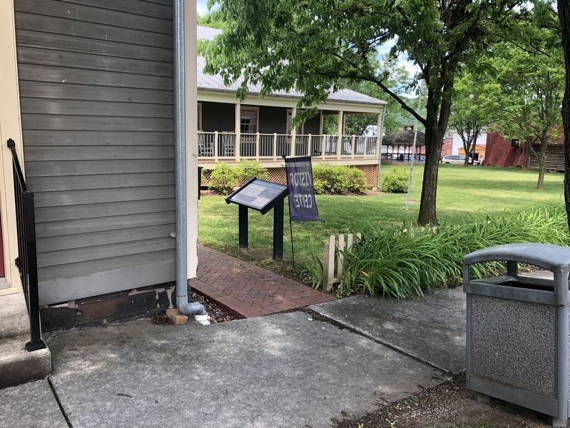
Location. 39° 20.472′ N, 78° 45.42′ W. Marker is in Romney, West Virginia, in Hampshire County. Marker is on South High Street just north of West Gravel Lane, on the left when traveling north . Touch for map. Marker is at or near this postal address: 91 S High St, Romney WV 26757, United States of America. Touch for directions.
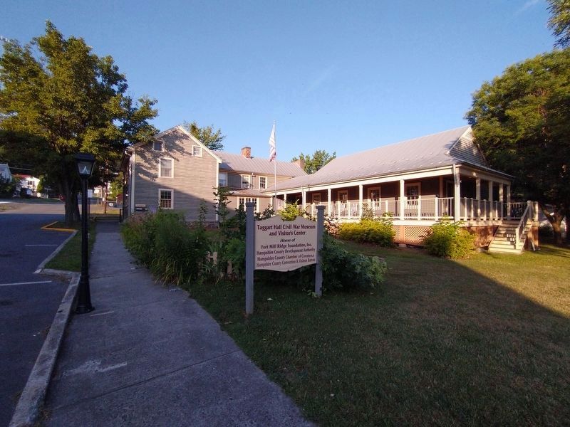
Other nearby markers. At least 8 other markers are within walking distance of this marker. Taggart-Hall House (a few steps from this marker); Romney's Oldest House (within shouting distance of this marker); W.VA.'s Oldest Public Office Building (within shouting distance of this marker); Romney in 1861–1865 / “Stonewall” Jackson (about 300 feet away, measured in a direct line); Hampshire County Courthouse (about 400 feet away); Romney / Early Memorial (about 400 feet away); Literary Hall (about 400 feet away); Hampshire County World War I Memorial (about 400 feet away). Touch for a list and map of all markers in Romney.
Credits. This page was last revised on August 29, 2022. It was originally submitted on May 29, 2020, by Devry Becker Jones of Washington, District of Columbia. This page has been viewed 198 times since then and 10 times this year. Photos: 1, 2. submitted on May 29, 2020, by Devry Becker Jones of Washington, District of Columbia. 3. submitted on August 12, 2022, by Craig Doda of Napoleon, Ohio.


