Near Romney in Hampshire County, West Virginia — The American South (Appalachia)
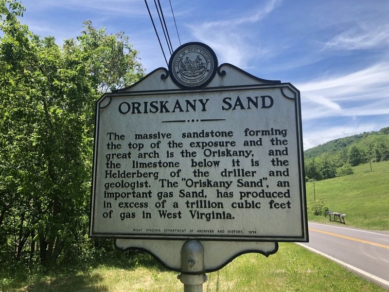
Oriskany Sand
Erected 1974 by West Virginia Department of Archives and History.
Topics and series. This historical marker is listed in these topic lists: Natural Features • Natural Resources. In addition, it is included in the West Virginia Archives and History series list.
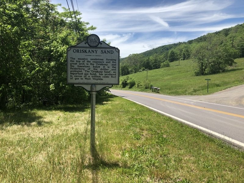
Location. 39° 19.961′ N, 78° 47.384′ W. Marker is near Romney, West Virginia, in Hampshire County. Marker is on Northwestern Turnpike (U.S. 50) just east of High Apple Mountain Road, on the right when traveling east. Touch for map. Marker is at or near this postal address: 27705 Northwestern Turnpike, Romney WV 26757, United States of America. Touch for directions.
Other nearby markers. At least 8 other markers are within walking distance of this marker. Fort Mill Ridge Trenches (approx. 0.6 miles away); Fort Mill Ridge (approx. 0.6 miles away); The Civil War in the South Branch Valley (approx. 0.6 miles away); Construction of Fort Mill Ridge (approx. 0.6 miles away); The Central Redoubt (approx. 0.6 miles away); Control of the Mechanicsburg Gap (approx. 0.6 miles away); Interior of the Central Redoubt (approx. 0.6 miles away); Engagement with McNeill's Rangers (approx. 0.7 miles away).
Credits. This page was last revised on November 1, 2021. It was originally submitted on May 29, 2020, by Devry Becker Jones of Washington, District of Columbia. This page has been viewed 223 times since then and 17 times this year. Photos: 1, 2. submitted on May 29, 2020, by Devry Becker Jones of Washington, District of Columbia.

