Near Romney in Hampshire County, West Virginia — The American South (Appalachia)
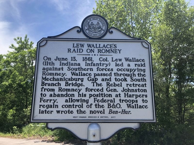
Lew Wallace's Raid on Romney
Erected 2017 by West Virginia Archives & History.
Topics and series. This historical marker is listed in these topic lists: Arts, Letters, Music • Bridges & Viaducts • Railroads & Streetcars • War, US Civil. In addition, it is included in the Baltimore and Ohio Railroad (B&O), and the West Virginia Archives and History series lists. A significant historical date for this entry is June 13, 1861.
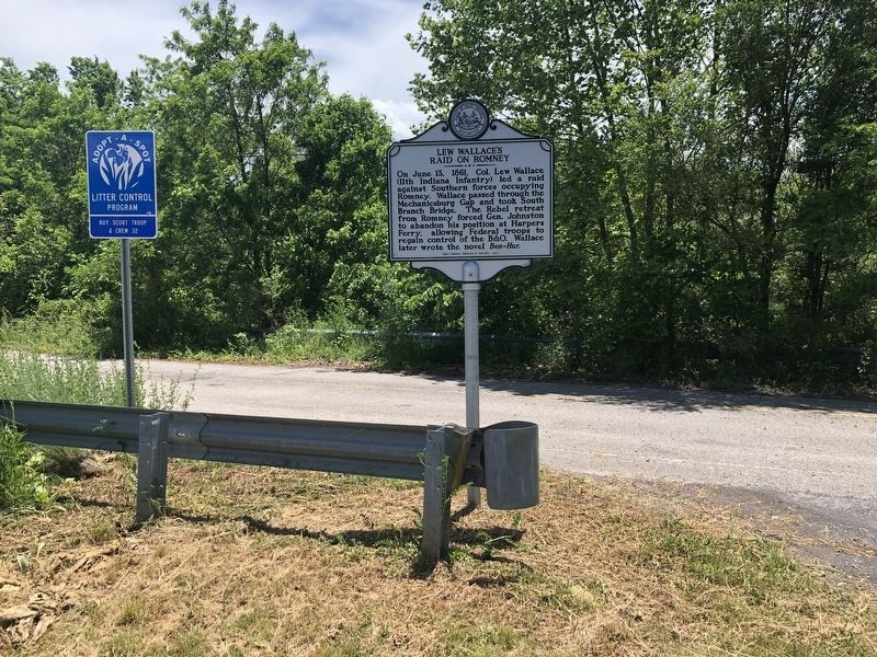
Location. 39° 20.352′ N, 78° 46.706′ W. Marker is near Romney, West Virginia, in Hampshire County. Marker is on Northwestern Turnpike (Route 50) just east of Stoney Lonesome Road, on the right when traveling east. Touch for map. Marker is in this post office area: Romney WV 26757, United States of America. Touch for directions.
Other nearby markers. At least 8 other markers are within walking distance of this marker. Engagement at Romney (about 400 feet away, measured in a direct line); Mt. Pisgah Benevolence Cemetery (approx. 0.6 miles away); Indian Mound (approx. 0.7 miles away); Fort Pearsall 1754 (approx. 0.7 miles away); Confederate Memorial (approx. 0.7 miles away); Indian Mound Cemetery (approx. ¾ mile away); Oriskany Sand (approx. ¾ mile away); Captain George W. Stump (approx. one mile away). Touch for a list and map of all markers in Romney.
Credits. This page was last revised on May 29, 2020. It was originally submitted on May 29, 2020, by Devry Becker Jones of Washington, District of Columbia. This page has been viewed 214 times since then and 16 times this year. Photos: 1, 2. submitted on May 29, 2020, by Devry Becker Jones of Washington, District of Columbia.

