Romney in Hampshire County, West Virginia — The American South (Appalachia)
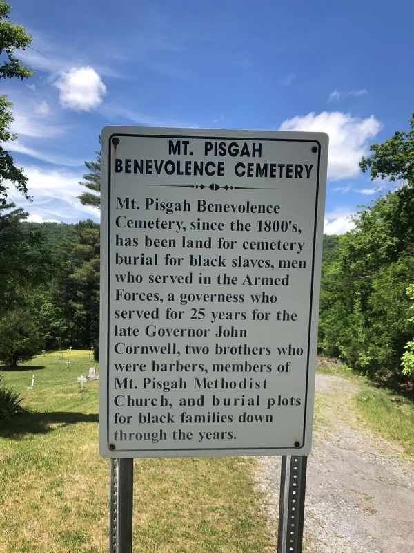
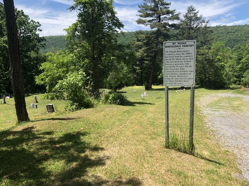
Mt. Pisgah Benevolence Cemetery
Topics. This historical marker is listed in these topic lists: African Americans • Cemeteries & Burial Sites • Churches & Religion • Industry & Commerce • Military.
Location. 39° 20.506′ N, 78° 46.014′ W. Marker is in Romney, West Virginia, in Hampshire County. Marker is on Northwestern Turnpike (U.S. 50) just west of West Gravel Lane, on the right when traveling west. Touch for map. Marker is in this post office area: Romney WV 26757, United States of America. Touch for directions.
Other nearby markers. At least 8 other markers are within walking distance of this marker. Indian Mound (within shouting distance of this marker); Fort Pearsall 1754 (about 500 feet away, measured in a direct line); Confederate Memorial (about 500 feet away); Indian Mound Cemetery (about 600 feet away); W.VA.'s Oldest Public Office Building (approx. half a mile away); Romney's Oldest House (approx. half a mile away); Taggart-Hall House (approx. half a mile away); Romney in Union Hands (approx. half a mile away). Touch for a list and map of all markers in Romney.
Credits. This page was last revised on May 29, 2020. It was originally submitted on May 29, 2020, by Devry Becker Jones of Washington, District of Columbia. This page has been viewed 127 times since then and 10 times this year. Photos: 1, 2. submitted on May 29, 2020, by Devry Becker Jones of Washington, District of Columbia.

