Aldie in Loudoun County, Virginia — The American South (Mid-Atlantic)
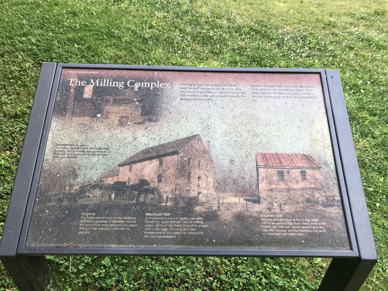
The Milling Complex
Starting in 1807, slaves fired the bricks, built the mill structures you see here, dug trenches for the millrace, and then served as mill workers. Little cash passed between the farmers and the miller.
Farmers brought their corn and wheat here, to be ground into finished products. The miller paid for the farmers' grain or took a portion of the grain or flour for commercial use.
[Caption:]
Storehouse (not shown)
The miller used this brick and clapboard building first as a store and storehouse and later as a residence for mill workers and their families.
Granary
The miller stored grain in this building for future grinding. A conveyor moved the grain both ways between the upper floods of the merchant mill and the granary.
Merchant Mill
A mechanical system of chutes and belts moved the grain through various milling stages. Some of the finely ground flour was sold in the store, but most of it was transported to Alexandria for markets in the east and overseas.
Country Mill
Farmers brought their grain to this small mill to be ground into flour, meal, and feed for family use. This mill ceased operating in the late 19th century, and the building was used to store feed and other items.
Erected by Virginia Outdoors Foundation.
Topics. This historical marker is listed in these topic lists: African Americans • Agriculture • Industry & Commerce. A significant historical year for this entry is 1807.
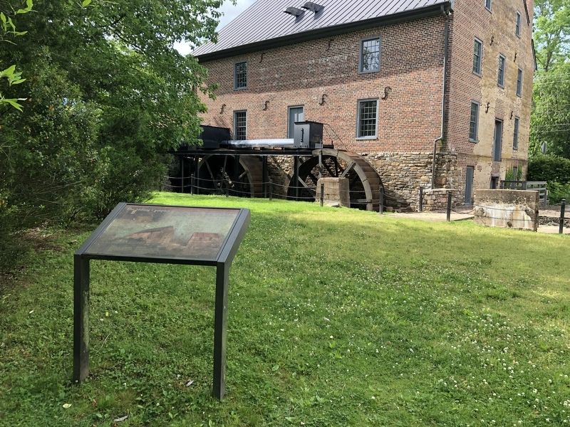
Location. 38° 58.503′ N, 77° 38.472′ W. Marker is in Aldie, Virginia, in Loudoun County. Marker can be reached from John Mosby Highway (U.S. 50) just west of Tail Race Road (Virginia Route 612), on the left when traveling west. Touch for map. Marker is at or near this postal address: 39407 John Mosby Hwy, Aldie VA 20105, United States of America. Touch for directions.
Other nearby markers. At least 8 other markers are within walking distance of this marker. Waterpower System (a few steps from this marker); A Freedom Seeker from Aldie: The Story of Daniel Dangerfield (within shouting distance of this marker); Battle of Aldie (within shouting distance of this marker); Lee Moves North Again (within shouting distance of this marker); The Aldie Mill (within shouting distance of this marker); a different marker also named Aldie Mill (within shouting distance of this marker); Slashing Sabers (within shouting distance of this marker); Mercer’s Home (about 500 feet away, measured in a direct line). Touch for a list and map of all markers in Aldie.
Credits. This page was last revised on May 29, 2020. It was originally submitted on May 29, 2020, by Devry Becker Jones of Washington, District of Columbia. This page has been viewed 155 times since then and 13 times this year. Photos: 1, 2. submitted on May 29, 2020, by Devry Becker Jones of Washington, District of Columbia.

