Panhandle in Carson County, Texas — The American South (West South Central)
Panhandle Cemetery
Inscription.
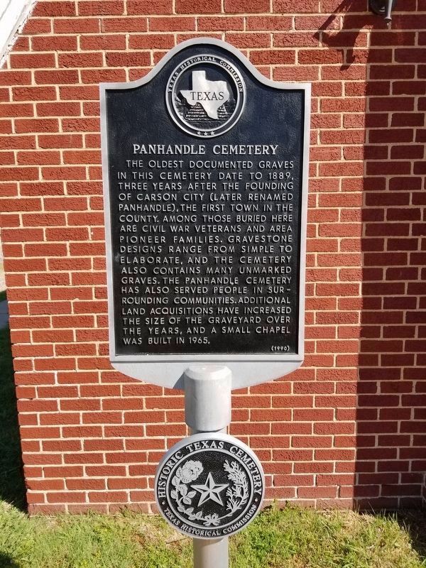
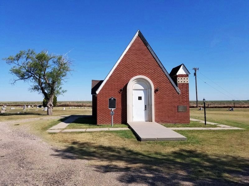
The oldest documented graves in this cemetery date to 1889, three years after the founding of Carson City (later renamed Panhandle), the first town in the county. Among those buried here are Civil War veterans and area pioneer families. Gravestone designs range from simple to elaborate, and the cemetery also contains many unmarked graves. The Panhandle Cemetery has also served people in surrounding communities. Additional land acquisitions have increased the size of the graveyard over the years, and a small chapel was built in 1965.
Erected 1990 by Texas Historical Commission. (Marker Number 3927.)
Topics. This historical marker is listed in this topic list: Cemeteries & Burial Sites.
Location. 35° 21.228′ N, 101° 22.241′ W. Marker is in Panhandle, Texas, in Carson County. Marker is on Providence Avenue north of East 6th Street when traveling north. Touch for map. Marker is in this post office area: Panhandle TX 79068, United States of America. Touch for directions.
Other nearby markers. At least 8 other markers are within walking distance of this marker. John A. Holmes (about 300 feet away, measured in a direct line); Terminus of the Santa Fe Railroad (approx. 0.6 miles away); Last Great Panhandle Cattle Drive to Montana (approx. ¾ mile away); Farm and Ranch Building (approx. ¾ mile away); Finch-Lord-Nelson and the Founding of Panhandle City (approx. ¾ mile away); Eclipse Windmill Patented 1867 (approx. ¾ mile away); The Square House (approx. ¾ mile away); Pioneer Dugout (approx. ¾ mile away). Touch for a list and map of all markers in Panhandle.
Credits. This page was last revised on May 31, 2020. It was originally submitted on May 31, 2020, by Allen Lowrey of Amarillo, Texas. This page has been viewed 137 times since then and 10 times this year. Photos: 1, 2. submitted on May 31, 2020, by Allen Lowrey of Amarillo, Texas. • J. Makali Bruton was the editor who published this page.

