Near Maryville in Blount County, Tennessee — The American South (East South Central)
Baker's Creek Church
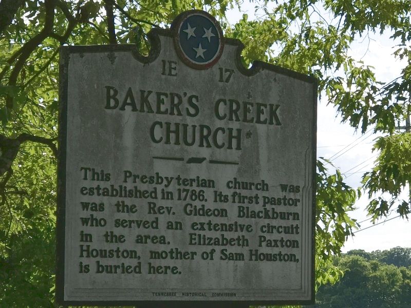
Photographed by Duane and Tracy Marsteller, May 30, 2020
1. Baker's Creek Church Marker
Erected by Tennessee Historical Commission. (Marker Number 1E 17.)
Topics and series. This historical marker is listed in these topic lists: Cemeteries & Burial Sites • Religion & Religious Structures. In addition, it is included in the Tennessee Historical Commission series list. A significant historical year for this entry is 1786.
Location. 35° 39.46′ N, 84° 6.513′ W. Marker is near Maryville, Tennessee, in Blount County. It is at the intersection of Old Niles Ferry Road and Nine Mile Road, on the left when traveling west on Old Niles Ferry Road. Touch for map. Marker is at or near this postal address: 5502 Nine Mile Rd, Maryville TN 37801, United States of America. Touch for directions.

Regionally, this marker is in East Tennessee, in the Great Smoky Mountains, and in Greater Knoxville. It is also in the American South, specifically in the Upper South, in Appalachia, and specifically in Southern
this page online
Other nearby markers. At least 8 other markers are within 7 miles of this marker, measured as the crow flies: Near the Site of Henry Fort (approx. half a mile away); Samuel Henry's Station (approx. one mile away); Houston's Station (approx. 2.4 miles away); Sam Houston American Giant Homesite (approx. 2½ miles away); Norwood Inn (approx. 3.9 miles away); Cloyd's Creek Presbyterian Church (approx. 4 miles away); Militia Springs (approx. 5.6 miles away); Morganton Crossing (approx. 6½ miles away). Touch for a list and map of all markers in Maryville.
Another marker is no longer nearby. Alleghany Springs (was approx. 3.3 miles away but has been confirmed missing).
Related markers. Click here for a list of markers that are related to this marker.
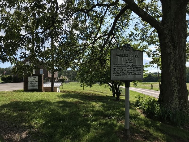
Photographed by Duane and Tracy Marsteller, May 30, 2020
2. Baker's Creek Church Marker
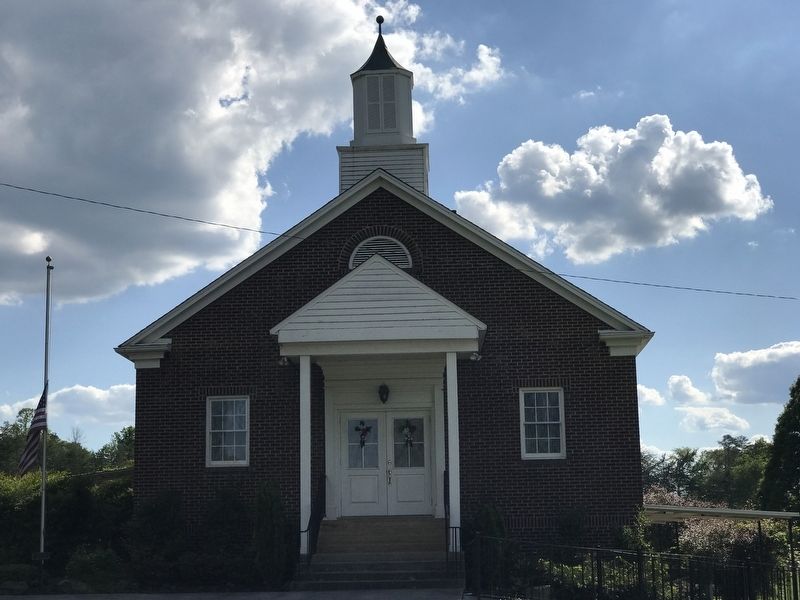
Photographed by Duane and Tracy Marsteller, May 30, 2020
3. Baker's Creek Church
Credits. This page was last revised on June 1, 2020. It was originally submitted on May 31, 2020, by Duane and Tracy Marsteller of Murfreesboro, Tennessee. This page has been viewed 1,061 times since then and 63 times this year. Photos: 1, 2, 3. submitted on May 31, 2020, by Duane and Tracy Marsteller of Murfreesboro, Tennessee. • Devry Becker Jones was the editor who published this page.
