Downtown Ottawa , Ontario — Central Canada (North America)
Railways and Radio Waves / Chemins de fer et ondes radio
Inscription.
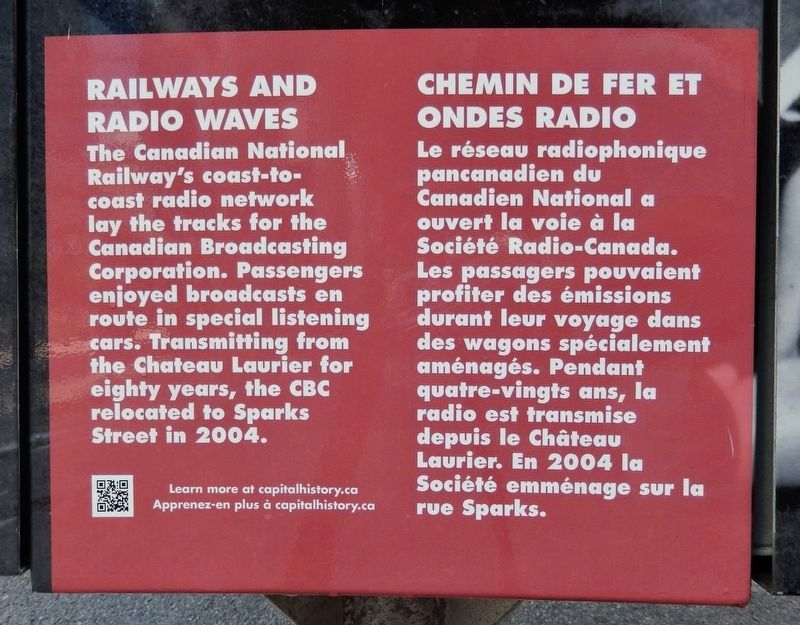
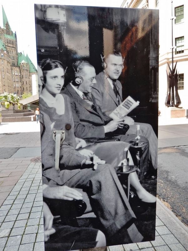
The Canadian National Railway's coast-to-coast radio network lay the tracks for the Canadian Broadcasting Corporation. Passengers enjoyed broadcasts en route in special listening cars. Transmitting from the Chateau Laurier for eighty years, the CBC relocated to Sparks Street in 2004.
Le réseau radiophonique pancanadien du Canadien National a ouvert la voie à la Société Radio-Canada. Les passagers pouvaient profiter des émissions durant leur voyage dans des wagons spécialement aménagés. Pendant quatre-vingts ans, la radio est transmise depuis le Château Laurier. En 2004 la Société emménage sur la rue Sparks.
Topics. This historical marker is listed in these topic lists: Communications • Railroads & Streetcars. A significant historical year for this entry is 2004.
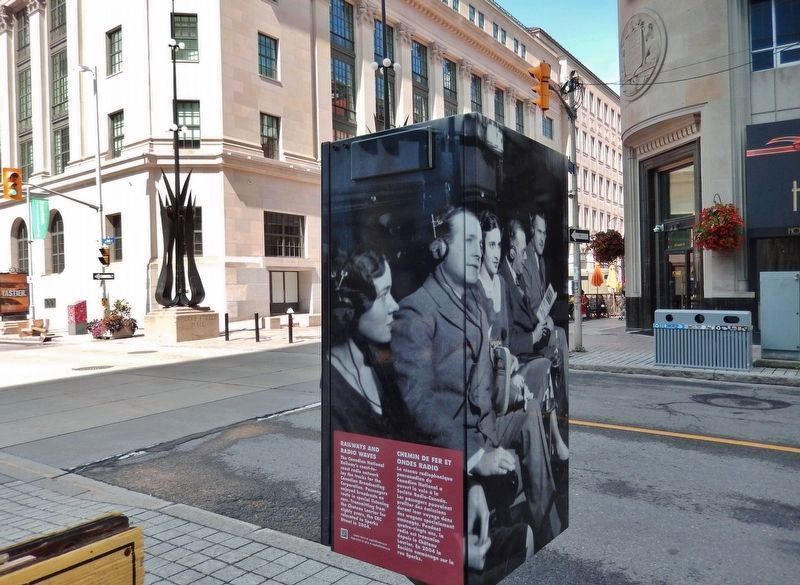
Location. 45° 25.261′ N, 75° 42.081′ W. Marker is in Ottawa, Ontario. It is in Downtown Ottawa. Marker is at the intersection of Bank Street (Route 31) and Sparks Street, on the left when traveling north on Bank Street. Marker is located along the sidewalk, near the southwest corner of the intersection. Touch for map. Marker is at or near this postal address: 240 Sparks Street, Ottawa ON K1P 6C9, Canada. Touch for directions.
Other nearby markers. At least 8 other markers are within walking distance of this marker. Bank of Canada / La Banque du Canada (about 150 meters away, measured in a direct line); National Press Building / L’Édifice national de la presse (about 180 meters away); St. Andrew's Church / L’église St. Andrew's (about 210 meters away); St. Andrew's Presbyterian Church (about 210 meters away); Asbury College (about 210 meters away); Supreme Court of Canada / La Cour suprême du Canada (about 240 meters away); Thomas D'Arcy McGee (about 240 meters away); Henriette Bourque (approx. 0.2 kilometers away). Touch for a list and map of all markers in Ottawa.
Also see . . .
1. Canadian Broadcasting Corporation. The Canadian Broadcasting Corporation (CBC) emerged out of the Canadian National Railway Ottawa (CNRO) radio network. CNR President Henry Thornton believed radio broadcasts would enhance the experience of travelers as well as facilitate management of the railway system. Beginning as a relay station for route information, CNRO soon began to broadcast programs that it thought would educate and unite Canadians such as high brow drama and classical music.
(Submitted on June 3, 2020, by Cosmos Mariner of Cape Canaveral, Florida.)
2. CNR Radio (Wikipedia). During its nine-year existence, CNR Radio provided music, sports, information and drama programming to Canadians. Programming was produced in English, French and occasionally in some First Nations languages, and distributed nationwide through the railway's own telegraph lines and through rented airtime on other private radio stations. However, political and competitive pressure forced CNR Radio to close, with many of its assets and personnel migrating to a new government-operated agency, the Canadian Radio Broadcasting Commission (CRBC), which ultimately led to the Canadian Broadcasting Corporation. (Submitted on June 3, 2020, by Cosmos Mariner of Cape Canaveral, Florida.)
Credits. This page was last revised on January 24, 2022. It was originally submitted on June 3, 2020, by Cosmos Mariner of Cape Canaveral, Florida. This page has been viewed 118 times since then and 8 times this year. Photos: 1, 2, 3, 4. submitted on June 3, 2020, by Cosmos Mariner of Cape Canaveral, Florida.


