Gatineau in Communauté-Urbaine-de-l'Outaouais, Québec — Central Canada (French-Canadian)
L’aménagement de la région de la capitale / Building a Capital Region
Inscription.
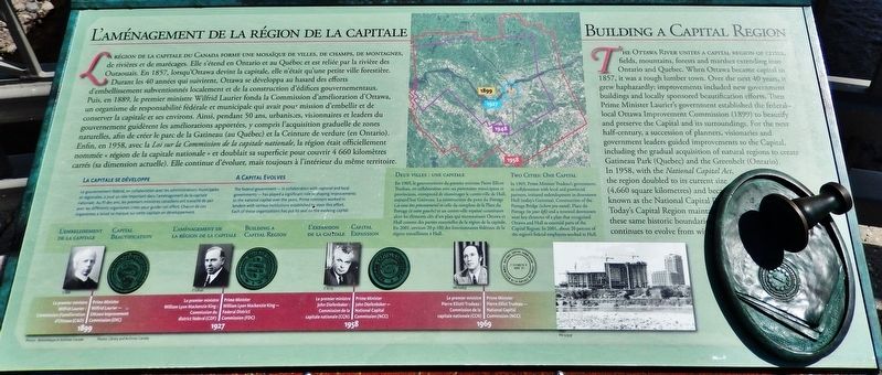
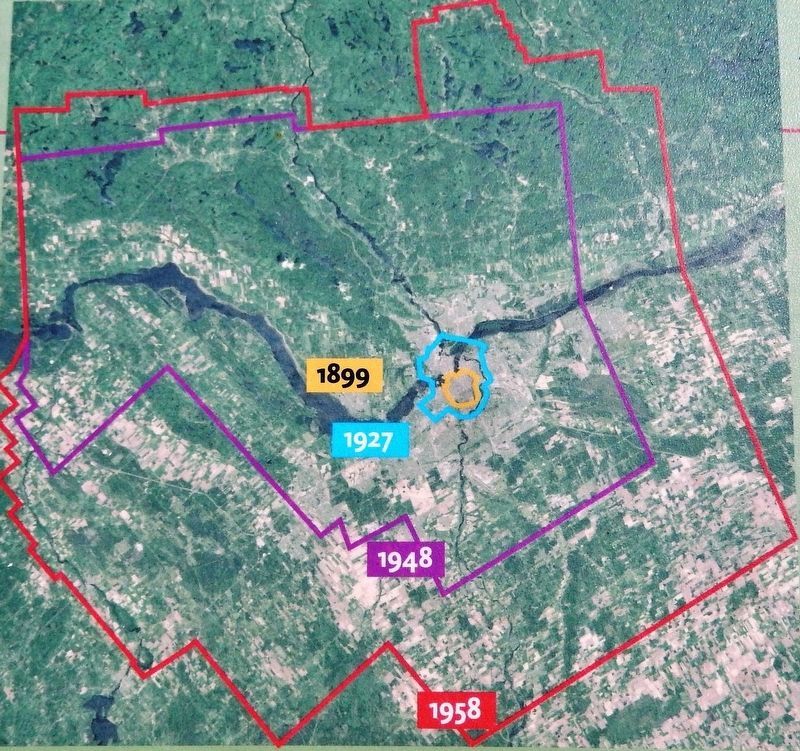
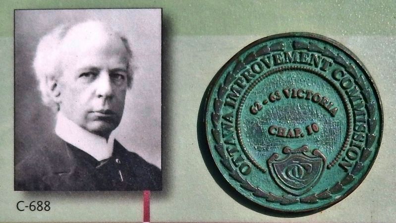
La région de la capitale du Canada forme une mosaïque de villes, de champs, de montagnes, de rivières et de marécages. Elle s'étend en Ontario et au Québec et est reliée par la rivière des Outaouais. En 1857, lorsqu'Ottawa devint la capitale, elle n'était qu'une petite ville forestière. Durant les 40 années qui suivirent, Ottawa se développa au hasard des efforts d'embellissement subventionnés localement et de la construction d'édifices gouvernementaux. Puis, en 1889, le premier ministre Wilfrid Laurier fonda la Commission d'amélioration d'Ottawa, un organisme de responsabilité fédérale et municipale qui avait pour mission d'embellir et de conserver la capitale et ses environs. Ainsi, pendant 50 ans, urbanistes, visionnaires et leaders du gouvernement guidèrent les améliorations apportées, y compris l'acquisition graduelle de zones naturelles, afin de créer le parc de la Gatineau (au Québec) et la Ceinture de verdure (en Ontario). Enfin, en 1958, avec la Loi sur la Commission de la capitale nationale, la région était officiellement nommée « région de la capitale nationale » et doublait sa superficie pour couvrir 4 660 kilomètres carrés (sa dimension actuelle). Elle continue d'évoluer, mais toujours à l'intérieur du même territoire.
La capitale se développe
Le gouvernement fédéral, en collaboration avec les administrations municipales et régionales, a joué un rôle important dans l'aménagement de la capitale nationale. Au fil des ans, les premiers ministres canadiens ont travaillé de pair avec les différents organismes créés pour guider cet effort. Chacun de ces organismes a laissé sa marque sur cette capitale en développement.
Deux villes : une capitale
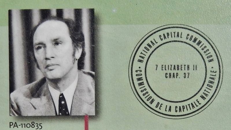
En 1969, le gouvernement du premier ministre Pierre Elliott Trudeau, en collaboration avec ses partenaires municipaux et provinciaux, entreprend de réaménager le centre-ville de Hull, aujourd'hui Gatineau. La construction du pont du Portage (où vous êtes présentement) et celle du complexé de la Place du Portage (à votre gauche) et un centre-ville repensé constituent alors les éléments clés d'un plan qui reconnaissait Ottawa et Hull comme des parties essentielles de la région de la capitale. En 2001, environ 20 p.100 des fonctionnaires fédéraux de la région travaillaient à Hull.
The Ottawa River unites a capital region of cities fields, mountains, forests and marshes extending into Ontario and Quebec. When Ottawa became capital in 1857, it was a rough lumber town. Over the next 40 years, it grew haphazardly; improvements included new government buildings and locally sponsored beautification efforts. Then Prime Minister Laurier's government established the federal-local Ottawa Improvement Commission (1899) to beautify and preserve the Capital and its surroundings. For the next half-century, a succession of planners, visionaries and government leaders guided improvements to the Capital, including the gradual acquisition of natural regions to create Gatineau Park (Quebec) and the Greenbelt (Ontario). In 1958, with the National Capital Act, the region doubled to its current size (4,660 square kilometres) and became known as the National Capital Region. Today's Capital Region maintains these same historic boundaries and continues to evolve from within.
A Capital Evolves
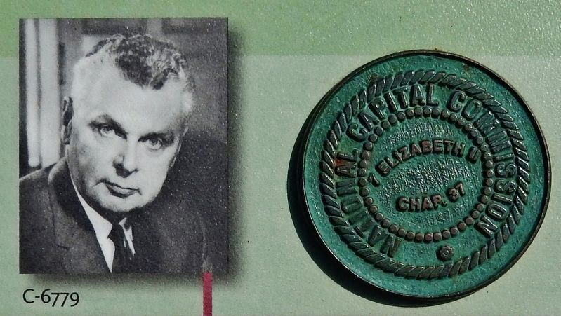
The federal government — in collaboration with regional and local governments — has played a significant role in shaping improvements to the national capital over the years. Prime ministers worked in tandem with various institutions established to steer this effort. Each of these organizations has put its seal on the evolving capital.
Two Cities: One Capital
In 1969, Prime Minister Trudeau's government, in collaboration with local and provincial partners, initiated redevelopment in downtown Hull (today's
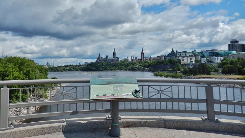
Gatineau). Construction of the Portage Bridge (where you stand), Place du Portage (to your left) and a renewed downtown were key elements of a plan that recognized Ottawa and Hull as essential parts of the Capital Region. In 2001, about 20 percent of the region's federal employees worked in Hull.
Erected by The National Capital Commission / La Commission de la capitale nationale.
Topics. This historical marker is listed in these topic lists: Charity & Public Work • Parks & Recreational Areas • Settlements & Settlers. A significant historical year for this entry is 1857.
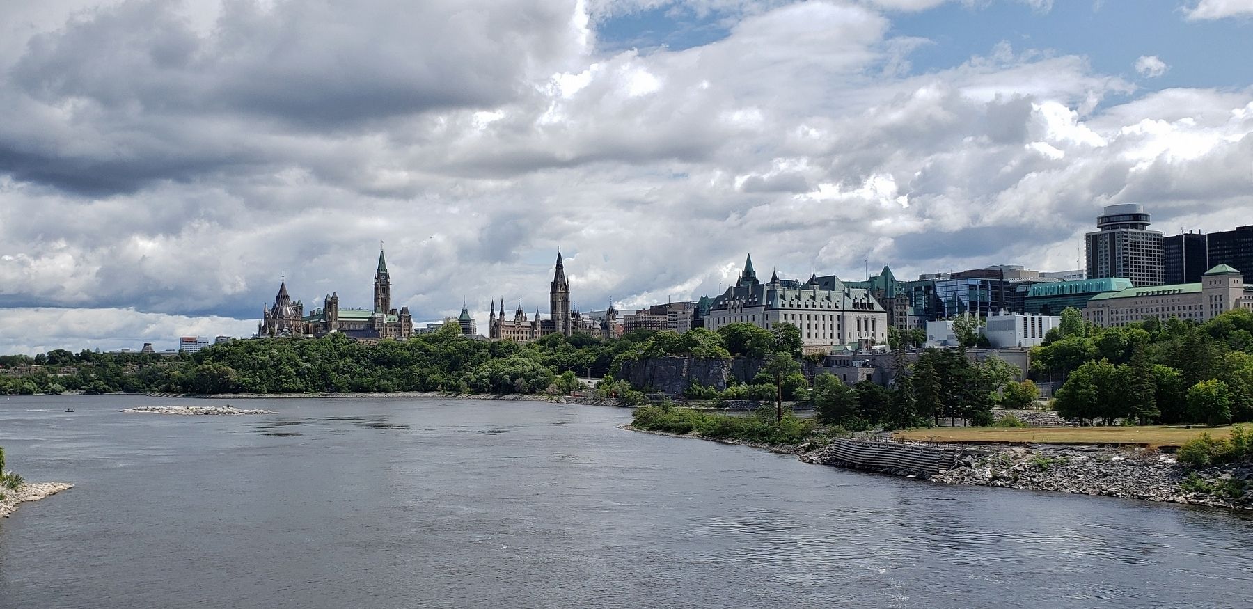
Location. 45° 25.365′ N, 75° 42.814′ W. Marker is in Gatineau, Québec, in Communauté-Urbaine-de-l'Outaouais. Marker is on Portage Bridge (Boulevard Maisonneuve), 0.2 kilometers south of Rue Laurier, on the left when traveling south. Marker is located on the Portage Bridge east-side pedestrian walkway, overlooking the Ottawa River, Parliament Hill and downtown Ottawa to the east. Touch for map. Marker is in this post office area: Gatineau QC J8X, Canada. Touch for directions.
Other nearby markers. At least 8 other markers are within walking distance of this marker. Canada's Discovery Route / La voie de la découverte du Canada (about 150 meters away, measured in a direct line); Le Boulevard de la Confédération / Confederation Boulevard (about 150 meters away); La Place du Portage / Place du Portage (about
Library and Archives Canada
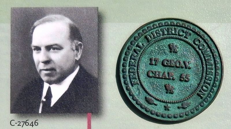
4. Marker detail: William Lyon Mackenzie King, 1927
Le premier ministre William Lyon Mackenzie King
Commission du district fédéral (CDF)
• • •
Building a Capital Region
Prime Minister William Lyon Mackenzie King
Federal District Commission (FDC)
Related markers. Click here for a list of markers that are related to this marker. Confederation Boulevard / Boulevard de la Confédération
Credits. This page was last revised on June 5, 2020. It was originally submitted on June 3, 2020, by Cosmos Mariner of Cape Canaveral, Florida. This page has been viewed 98 times since then and 13 times this year. Photos: 1. submitted on June 4, 2020, by Cosmos Mariner of Cape Canaveral, Florida. 2, 3, 4, 5, 6, 7, 8. submitted on June 5, 2020, by Cosmos Mariner of Cape Canaveral, Florida.
