St. Charles in St. Charles County, Missouri — The American Midwest (Upper Plains)
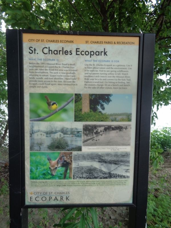
St. Charles Ecopark
What The Ecopark Is
Before the 1993 Missouri River flood a small neighborhood occupied the St. Charles Ecopark site. After the flood this area was removed from development. The park is now gradually returning to nature. Gravel trails connect wetlands, woods, and river shoreline. "Sand trails" provide more access to the river. Because the Ecopark could flood again, new construction is simple and sturdy.
What The Ecopark Is For
Use the St. Charles Ecopark is a getaway. Use it to learn about nature and the environment. Use it for exercise. Visit to see spring wildflowers and sycamores turning yellow in fall. Watch swallows catch insects over the Missouri River. Ride your bicycle and connect to the Katy Trail. Explore a sand trail. Go fishing or birding. See the seasons change. Sit on a bench and sketch. For the sake of other visitors, leave no trace.
Erected by City of St. Charles Ecopark, St. Charles Parks & Recreation.
Topics. This historical marker is listed in these topic lists: Disasters • Parks & Recreational Areas • Waterways & Vessels. A significant historical year for this entry is 1993.
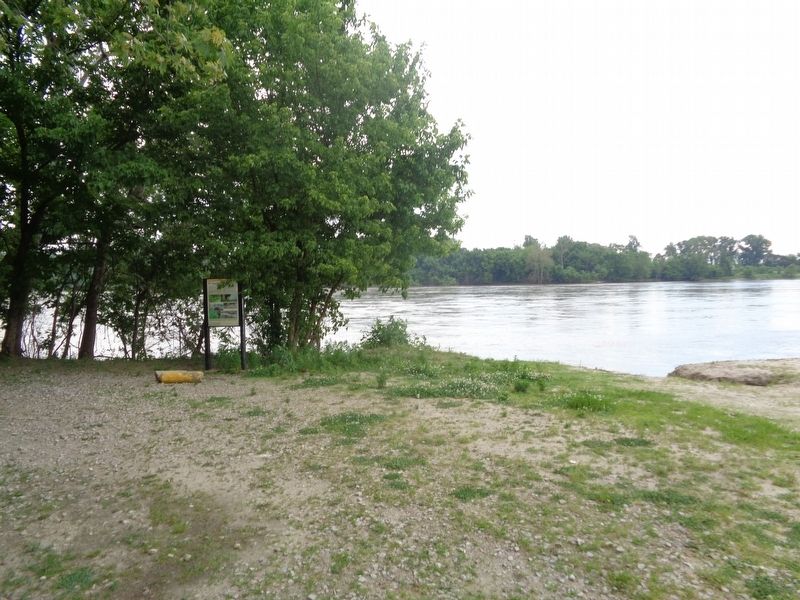
Location. 38° 47.601′ N, 90° 28.404′ W. Marker is in St. Charles, Missouri, in St. Charles County. Marker can be reached from Olive Street east of North 2nd Street (State Highway 94). Marker is located off a nature path, near the Blanchett Boat Ramp and Boschert/Katy Trail parking lot. Touch for map. Marker is at or near this postal address: 110 Olive St, Saint Charles MO 63301, United States of America. Touch for directions.
Other nearby markers. At least 8 other markers are within walking distance of this marker. Missouri River floods (a few steps from this marker); Historic Frenchtown (approx. 0.2 miles away); 1314 N. 3rd (approx. ¼ mile away); 1310 North Third Street (approx. ¼ mile away); Frenchtown Neighborhood (approx. 0.3 miles away); John Borgemeier House 1852 (approx. 0.4 miles away); 809 North Third Street (approx. half a mile away); The DuSable House (approx. half a mile away). Touch for a list and map of all markers in St. Charles.
Credits. This page was last revised on June 5, 2020. It was originally submitted on June 4, 2020, by Jason Voigt of Glen Carbon, Illinois. This page has been viewed 117 times since then and 11 times this year. Photos: 1, 2. submitted on June 5, 2020, by Jason Voigt of Glen Carbon, Illinois. • Devry Becker Jones was the editor who published this page.

