Gatineau in Outaouais, Québec — Central Canada (French-Canadian)
Canada's Discovery Route
⎯⎯⎯
La voie de la découverte du Canada
Photographed by Cosmos Mariner, August 10, 2019
1. Canada's Discovery Route /
La voie de la découverte du Canada Marker
La voie de la découverte du Canada Marker

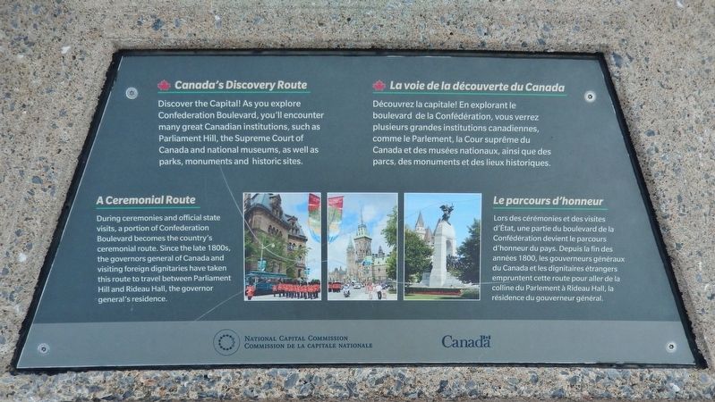
Canada’s Discovery Route
Discover the Capital! As you explore Confederation Boulevard, you'll encounter many great Canadian institutions, such as Parliament Hill, the Supreme Court of Canada and national museums, as well as parks, monuments and historic sites.
A Ceremonial Route
During ceremonies and official state visits, a portion of Confederation Boulevard becomes the country's ceremonial route. Since the late 1800s, the governors general of Canada and visiting foreign dignitaries have taken this route to travel between Parliament Hill and Rideau Hall, the governor general's residence.
La voie de la découverte du Canada
Découvrez la capitale! En explorant le boulevard de la Confédération, vous verrez plusieurs grandes institutions canadiennes, comme le Parlement, la Cour suprême du Canada et des musées nationaux, ainsi que des parcs, des monuments et des lieux historiques.
Le parcours d'honneur
Lors des cérémonies et des visites d'État, une partie du boulevard de la Confédération devient le parcours d'honneur du pays. Depuis la fin des années 1800, les gouverneurs généraux du Canada et les dignitaires
this page online
Erected by National Capital Commission / Commission de la capitale nationale.
Topics. This historical marker is listed in this topic list: Roads & Vehicles.
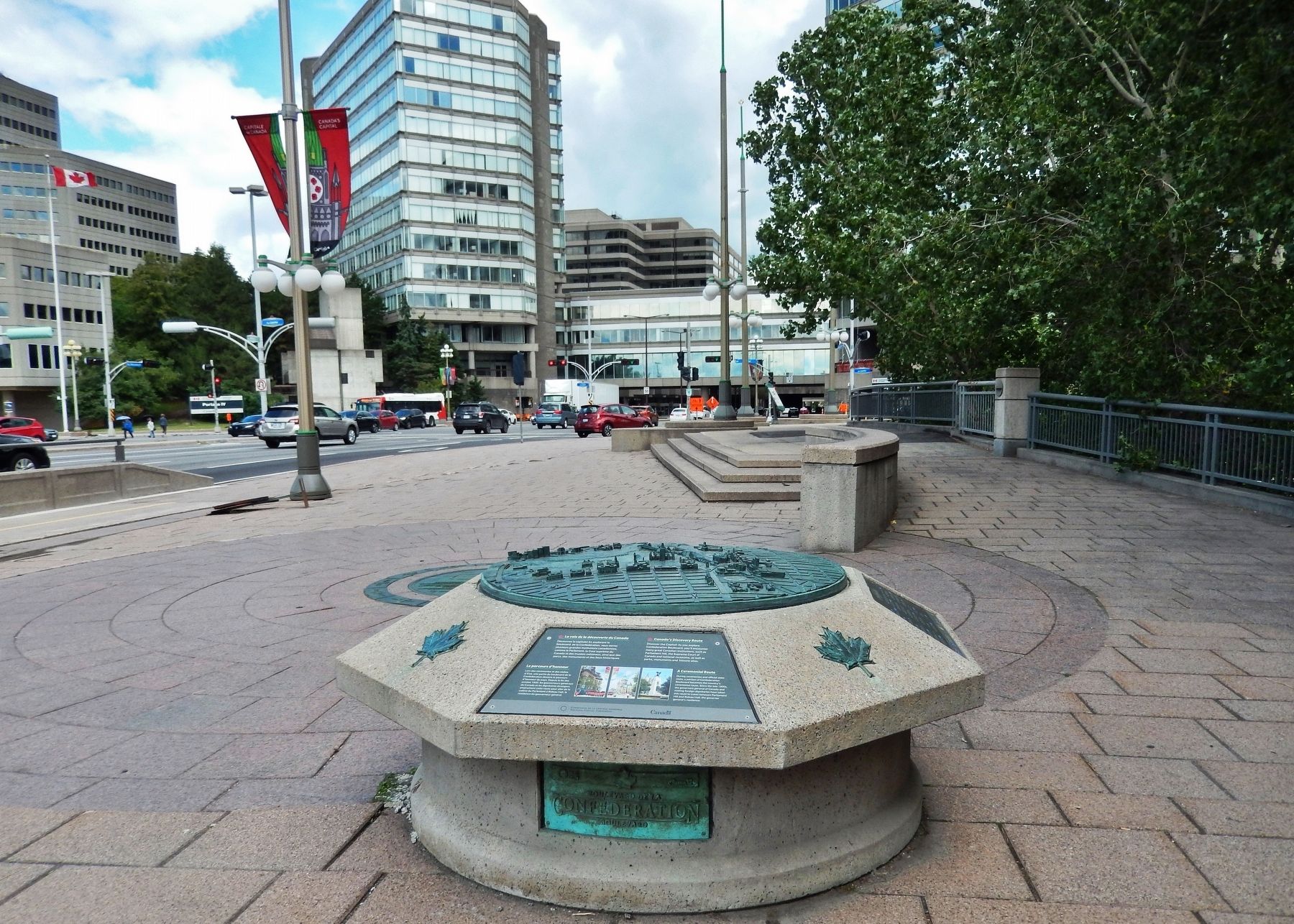
Location. 45° 25.446′ N, 75° 42.831′ W. Marker is in Gatineau, Québec, in Outaouais. It is on Portage Bridge (Boulevard Maisonneuve) just south of Rue Laurier, on the right when traveling north. Marker is mounted atop a concrete pedestal in the walkway along the east side of Portage Bridge (Boulevard Maisonneuve). Touch for map. Marker is at or near this postal address: Portage Bridge (Boulevard Maisonneuve), Gatineau QC J8X, Canada. Touch for directions.

Regionally, this marker is in the Ottawa Metropolitan Area and in the Outaouais & Eastern Townships. It is also in Central Canada. Globally, it is in North America, the Great North Woods, the Western Hemisphere, and the Western World. Historically, it finds itself in what was once a British colony, the Viceroyalty of New France, the Haudenosaunee
Photographed by Cosmos Mariner, August 10, 2019
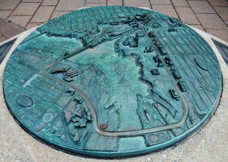
2. Marker detail: Gatineau, Quebec
Other nearby markers. At least 8 other markers are within walking distance of this marker: Le Boulevard de la Confédération / Confederation Boulevard (here, next to this marker); La Place du Portage / Place du Portage (within shouting distance of this marker); L’aménagement de la région de la capitale / Building a Capital Region (about 150 meters away, measured in a direct line); Hull au début du XXe siècle (approx. 0.3 kilometers away); Une enclave du passé au cœur de la ville (approx. 0.3 kilometers away); Maison Aubry (approx. 0.3 kilometers away); Une histoire marquée par les flammes (approx. 0.3 kilometers away); Ce bâtiment est un haut lieu du syndicalisme Québécois (approx. 0.4 kilometers away). Touch for a list and map of all markers in Gatineau.
Related marker. Click here for another marker that is related to this marker.
Also see . . . Discover Confederation Boulevard. Running a length of 7.5 kilometres, Confederation Boulevard forms a loop that connects both sides of the Ottawa River, linking Ontario and Quebec. It follows several symbolically important streets
Photographed by Cosmos Mariner, August 10, 2019
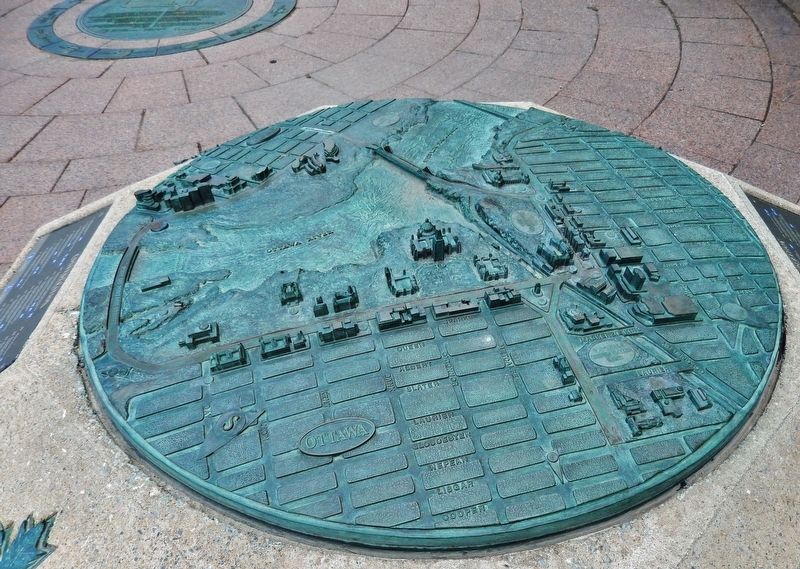
3. Marker detail: Ottawa, Ontario
Photographed by Cosmos Mariner, August 10, 2019
4. Canada's Discovery Route /
La voie de la découverte du Canada Marker
La voie de la découverte du Canada Marker
Credits. This page was last revised on March 15, 2026. It was originally submitted on June 6, 2020, by Cosmos Mariner of Cape Canaveral, Florida. This page has been viewed 306 times since then and 30 times this year. Photos: 1, 2, 3, 4. submitted on June 6, 2020, by Cosmos Mariner of Cape Canaveral, Florida.
