Near San Marcos in Hays County, Texas — The American South (West South Central)
Pitts Cemetery
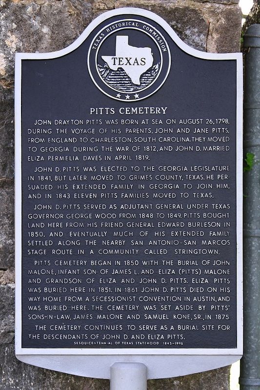
John D. Pitts was elected to the Georgia Legislature in 1841, but later moved to Grimes County, Texas. He persuaded his extended family in Georgia to join him, and in 1843 eleven Pitts families moved to Texas.
John D. Pitts served as adjutant general under Texas Governor George Wood from 1848 to 1849. Pitts bought land here from his friend General Edward Burleson in 1850, and eventually much of his extended family settled along the nearby San Antonio-San Marcos stage route in a community called Stringtown.
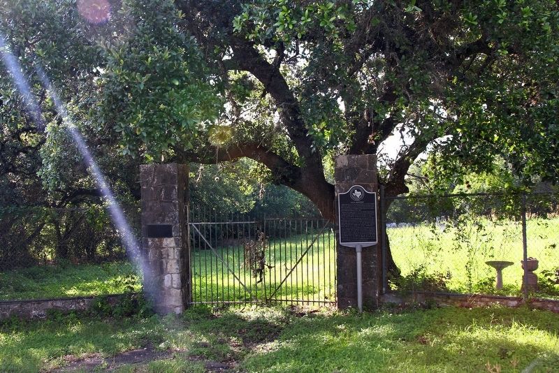
Pitts Cemetery began in 1850 with the burial of John Malone, infant son of James L. and Eliza (Pitts) Malone and grandson of Eliza and John D. Pitts. Eliza Pitts was buried here in 1851. In 1861 John D. Pitts died on his way home from a secessionist convention in Austin, and was buried here. The cemetery was set aside by Pitts' sons-in-law, James Malone and Samuel Kone, Sr., in 1875.
The cemetery continues to serve as a burial site for the descendants of John D. and Eliza Pitts.
Erected 1995 by Texas Historical Commission. (Marker Number 10309.)
Topics. This historical marker is listed in these topic lists: Cemeteries & Burial Sites • Settlements & Settlers. A significant historical month for this entry is April 1819.
Location. 29° 50.241′ N, 97° 59.353′ W. Marker is near San Marcos, Texas, in Hays County. Marker is on Hunter Road (Farm to Market Road 2439) 0.3 miles north of Center Point Road, on the right when traveling north. Touch for map. Marker is in this post office area: San Marcos TX 78666, United States of America. Touch for directions.
Other nearby markers. At least 8 other markers are within 4 miles of this marker, measured as the crow flies. First Baptist Church (approx. 0.8 miles away); Kings Highway (approx. 2.1 miles away); The Cattle Drives (approx. 2˝ miles away); Riley's Tavern (approx. 3 miles away); Belvin Street Historic District (approx. 3.3 miles away); James Lafayette and Eliza Pitts Malone House (approx. 3.3 miles away); Kings Highway Camino Real — Old San Antonio Road (approx. 3.3 miles away); Wonder Cave (approx. 3.4 miles away). Touch for a list and map of all markers in San Marcos.
Credits. This page was last revised on June 6, 2020. It was originally submitted on June 6, 2020, by Larry D. Moore of Del Valle, Texas. This page has been viewed 270 times since then and 32 times this year. Photos: 1, 2. submitted on June 6, 2020, by Larry D. Moore of Del Valle, Texas.

