Falls Church, Virginia — The American South (Mid-Atlantic)
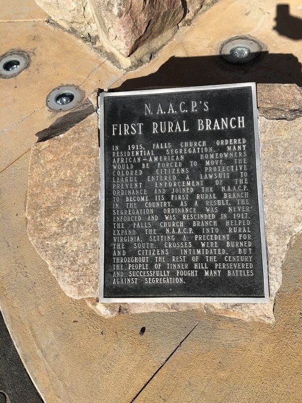
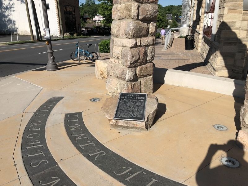
N.A.A.C.P.'s First Rural Branch
Topics. This historical marker is listed in these topic lists: African Americans • Civil Rights. A significant historical year for this entry is 1915.
Location. 38° 52.783′ N, 77° 10.604′ W. Marker is in Falls Church, Virginia. It is at the intersection of South Washington Street (U.S. 29) and Tinner Hill Road, on the right when traveling west on South Washington Street. Touch for map. Marker is at or near this postal address: 510 S Washington St, Falls Church VA 22046,
this page online

Regionally, this marker is in the Washington Metropolitan Area and in Northern Virginia. It is also in the American South, specifically in the Upper South, and in the Mid-Atlantic. Globally, it is in North America, the Western Hemisphere, the Western World, and the Anglosphere. Historically, it finds itself in what was once the territory of the Mississippian Culture, one of the original Thirteen Colonies, one of the Confederate States of America, and the Antebellum South.
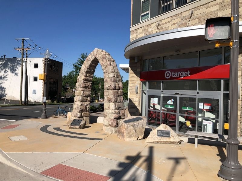
Other nearby markers. At least 8 other markers are within walking distance of this marker: Tinner Hill Monument (here, next to this marker); The First Modern Schools (here, next to this marker); Joseph Tinner (here, next to this marker); Dr. Edwin Bancroft Henderson (here, next to this marker); 1961 (here, next to this marker); 1997 (here, next to this marker); Today (2016) (here, next to this marker); Falls Church Honors (here, next to this marker). Touch for a list and map of all markers in Falls Church.
Additional keywords. Jim Crow South, segregation, the Civil Rights movement
Credits. This page was last revised on June 7, 2020. It was originally submitted on June 7, 2020, by Devry Becker Jones of Washington, District of Columbia. This page has been viewed 328 times since then and 22 times this year. Photos: 1, 2, 3. submitted on June 7, 2020, by Devry Becker Jones of Washington, District of Columbia.
