Cumberland Township near Round Top in Adams County, Pennsylvania — The American Northeast (Mid-Atlantic)
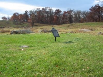
Fourth New York Independent Battery
Artillery Brigade - Third Corps
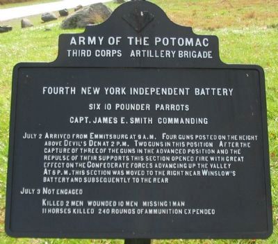
— Army of the Potomac —
Third Corps Artillery Brigade
Fourth New York Independent Battery
Six 10 pounder Parrotts
Capt. James E. Smith Commanding
July 2 Arrived from Emmitsburg at 9 a.m. Four guns posted on the heights above Devil's Den at 2 p.m. Two guns in this position. After the capture of three of the guns in the advanced position and the repulse of their support this section opened fire with great effect on the Confederate forces advancing up the valley. At 6 p.m. this section was moved to the right near Winslow's Battery and subsequently to the rear.
July 3 Not engaged.
Killed 2 men. Wounded 10 men. Missing 1 man.
11 horses killed. 240 rounds of ammunition expended.
Erected 1900 by Gettysburg National Military Park Commission.
Topics. This historical marker is listed in this topic list: War, US Civil. A significant historical date for this entry is July 2, 1863.
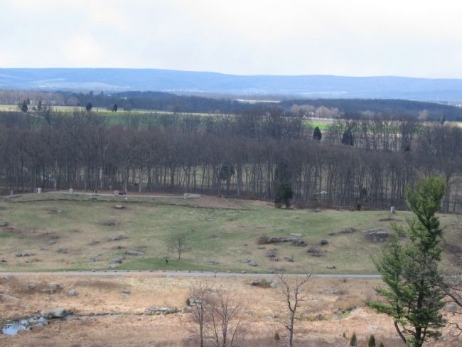
Location. 39° 47.66′ N, 77° 14.389′ W. Marker is near Round Top, Pennsylvania, in Adams County. It is in Cumberland Township. Marker is on Crawford Avenue, on the right when traveling south. Located in Plum Run Valley (the Valley of Death) in Gettysburg National Military Park. Touch for map. Marker is in this post office area: Gettysburg PA 17325, United States of America. Touch for directions.
Other nearby markers. At least 8 other markers are within walking distance of this marker. Fourteenth U.S. Infantry (about 300 feet away, measured in a direct line); Second Division (about 300 feet away); Sixth U.S. Infantry (about 400 feet away); First Brigade (about 400 feet away); Fourth U.S. Infantry (about 400 feet away); Twelfth U.S. Infantry (about 400 feet away); 6th New Jersey Volunteers (about 400 feet away); Eleventh U.S. Infantry (about 400 feet away). Touch for a list and map of all markers in Round Top.
Related markers. Click here for a list of markers that are related to this marker. Smith's Battery Markers and Monuments

Photographed By Craig Swain, November 8, 2008
2. Fourth New York Independent Battery Tablet
As seen from Crawford Avenue. Some accounts place the two gun section's location 100 yards southwest. Regardless of the exact location, the gunners had a very limited field of fire. But the range they did have covered the rear of Houck's Ridge and what was later named the Slaughter Pen.

Photographed By Craig Swain, November 8, 2008
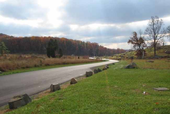
3. The Section's View of The Valley of Death
Looking south down Crawford Avenue. In the middle phases of the fighting for the Devil's Den, the 4th Maine and 99th Pennsylvania Regiments, then engaged on the crest of the Devil's Den, uncovered the low ground where Plum Run passed the high ground. The Portions of Law's and Benning's Brigades advanced into this gap. The only Federal forces opposing them for a time was the two gun section of the 4th New York. The gunners fired with great effect on the Confederates in the rocky stream bed.
Credits. This page was last revised on February 7, 2023. It was originally submitted on January 7, 2009, by Craig Swain of Leesburg, Virginia. This page has been viewed 902 times since then and 9 times this year. Photos: 1, 2, 3, 4. submitted on January 7, 2009, by Craig Swain of Leesburg, Virginia.

