
Coppell in Dallas County, Texas — The American South (West South Central)
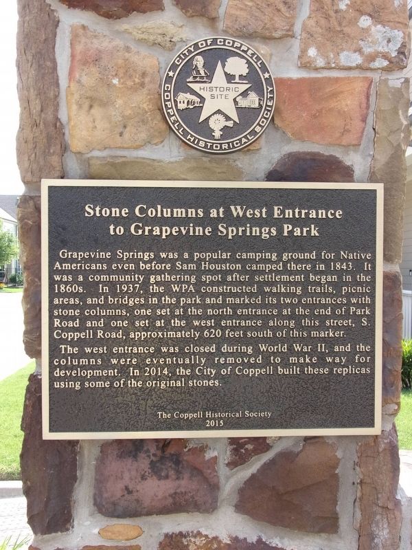
Stone Columns at West Entrance to Grapevine Springs Park
Photographed by Kayla Harper, June 7, 2020
1. Stone Columns at West Entrance to Grapevine Springs Park Marker
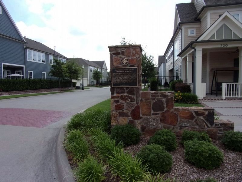
Grapevine Springs was a popular camping ground for Native Americans even before Sam Houston camped there in 1843. It was a community gathering spot after settlement began in the 1860s. In 1937, the WPA constructed walking trails, picnic areas, and bridges in the park and marked its two entrances with stone columns, one set at the north entrance at the end of Park Road and one set at the west entrance along this street, S. Coppell Road, approximately 620 feet south of this marker.
The west entrance was closed during World War II, and the columns were eventually removed to make way for development. In 2014, the City of Coppell built these replicas using some of the original stones.
Erected 2015 by City of Coppell/Coppell Historical Society.
Topics. This historical marker is listed in these topic lists: Architecture • Parks & Recreational Areas.
Location. 32° 57.206′ N, 97° 0.307′ W. Marker is in Coppell, Texas, in Dallas County. It is at the intersection of South Coppell Road and Houston Street, on the right when traveling north on South Coppell Road. There are
this page online

Regionally, this marker is in the Prairies & Lakes Region and in the Dallas-Fort Worth Metropolitan Area. Globally, it is in North America, a Gulf of Mexico state, the Western Hemisphere, the Western World, and the Anglosphere. Historically, it finds itself in what was once New Spain, the Republic of Texas, one of the Confederate States of America, and the Antebellum South.
Other nearby markers. At least 8 other markers are within walking distance of this marker: The Minyard Store (about 400 feet away, measured in a direct line); Coppell Heritage Park (about 400 feet away); The Kirkland House (about 400 feet away); Early Coppell Business District (about 500 feet away); Early Coppell School Foundation (about 600 feet away); Coppell's First Water Supply (about 600 feet away); Harwell House and Barbershop (about 700 feet away); Coppell's First Government Buildings (about 800 feet away).
Photographed by Kayla Harper, June 7, 2020
2. Stone Columns at West Entrance to Grapevine Springs Park and Marker
Photographed by Kayla Harper, June 7, 2020
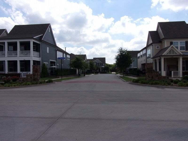
3. Stone Columns at West Entrance to Grapevine Springs Park
Credits. This page was last revised on June 8, 2020. It was originally submitted on June 7, 2020, by Kayla Harper of Dallas, Texas. This page has been viewed 438 times since then and 42 times this year. Photos: 1, 2, 3. submitted on June 7, 2020, by Kayla Harper of Dallas, Texas. • J. Makali Bruton was the editor who published this page.
