Near Woodstock in Ulster County, New York — The American Northeast (Mid-Atlantic)
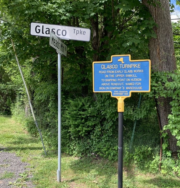
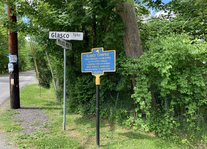
Glasco Turnpike
Erected 1935 by State Education Department.
Topics. This historical marker is listed in this topic list: Roads & Vehicles.
Location. 42° 2.967′ N, 74° 7.077′ W. Marker is near Woodstock, New York, in Ulster County. Marker is at the intersection of Glasco Turnpike (County Route 33) and Meads Mountain Road, on the left when traveling east on Glasco Turnpike. Touch for map. Marker is in this post office area: Woodstock NY 12498, United States of America. Touch for directions.
Other nearby markers. At least 8 other markers are within 2 miles of this marker, measured as the crow flies. Byrdcliffe (approx. half a mile away); Newkirk House (approx. 0.6 miles away); Tannery Brook (approx. 0.6 miles away); Jonathan Apple (approx. 1.1 miles away); Maverick Road (approx. 1.9 miles away); Baehr’s Store (approx. 2 miles away); Old Zena Mill (approx. 2.1 miles away); Settlers Captured (approx. 2.1 miles away). Touch for a list and map of all markers in Woodstock.
Credits. This page was last revised on June 9, 2020. It was originally submitted on June 7, 2020, by Steve Stoessel of Niskayuna, New York. This page has been viewed 298 times since then and 57 times this year. Photos: 1, 2. submitted on June 7, 2020, by Steve Stoessel of Niskayuna, New York. • Michael Herrick was the editor who published this page.

