Amarillo in Randall County, Texas — The American South (West South Central)
Palisades State Park Concession Building
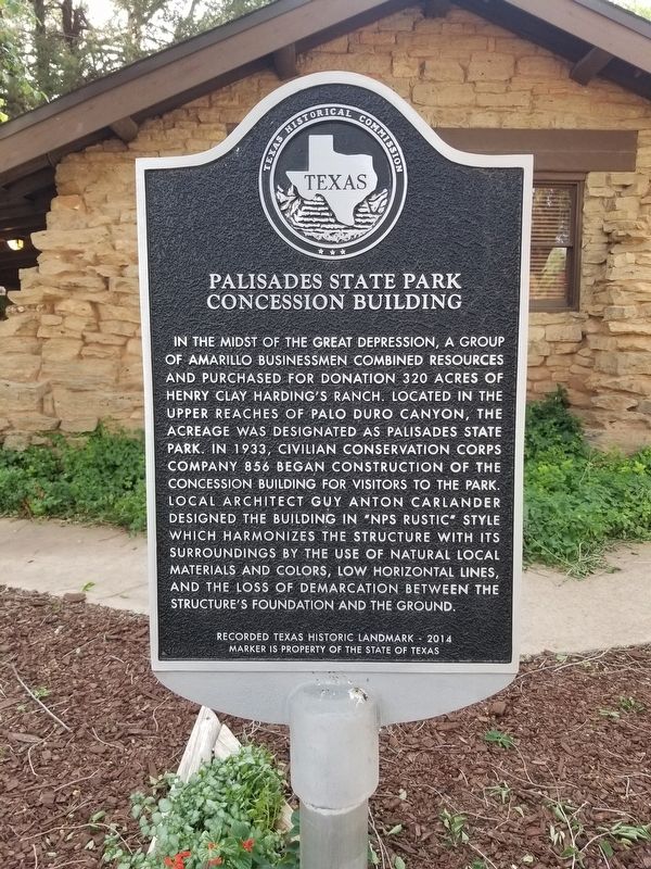
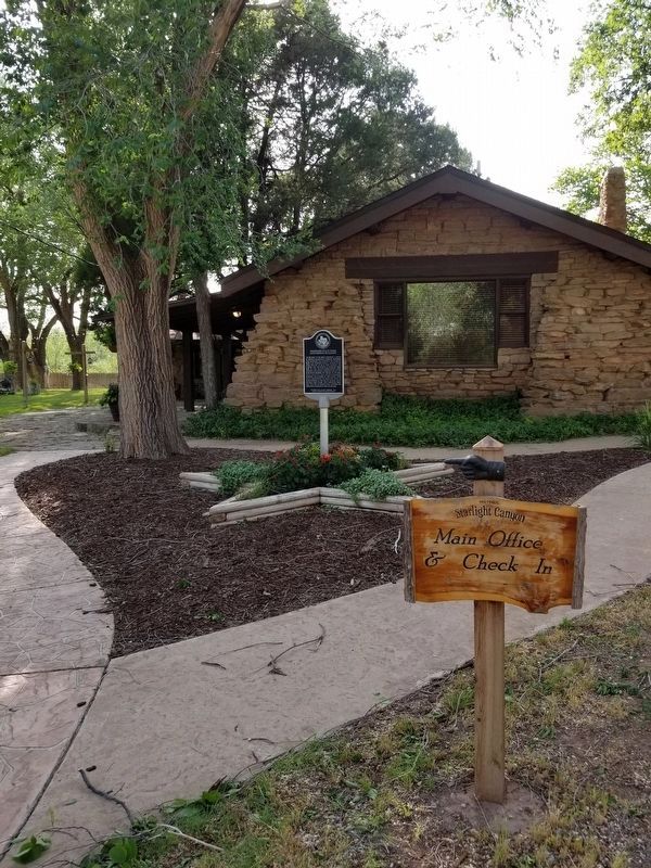
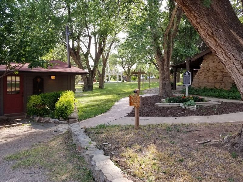
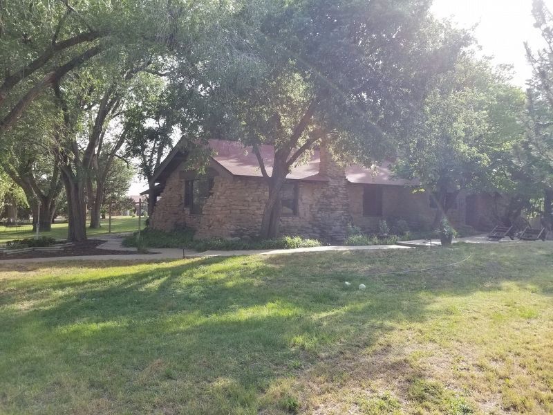
In the midst of the Great Depression, a group of Amarillo businessmen combined resources and purchased for donation 320 acres of Henry Clay Harding’s Ranch. Located in the upper reaches of Palo Duro Canyon, the acreage was designated as Palisades State Park. In 1933, Civilian Conservation Corps Company 856 began construction of the concession building for visitors to the park. Local architect Guy Anton Carlander designed the building in “NPS rustic” style which harmonizes the structure with its surroundings by the use of natural local materials and colors, low horizontal lines, and the loss of demarcation between the structure’s foundation and the ground.
Recorded Texas Historic Landmark – 2014
Marker is property of the State of Texas
Erected 2014 by Texas Historical Commission. (Marker Number 17928.)
Topics. This historical marker is listed in these topic lists: Architecture • Parks & Recreational Areas.
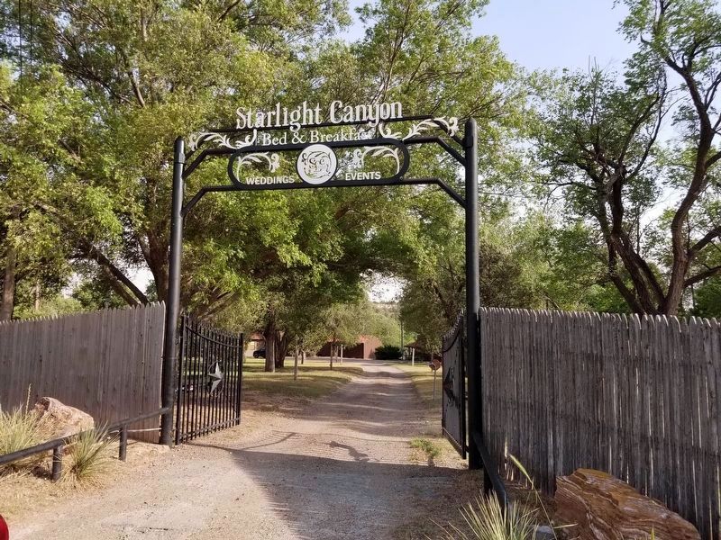
Location. 35° 3.767′ N, 101° 48.666′ W. Marker is in Amarillo, Texas, in Randall County. Marker can be reached from Brentwood Road, on the left when traveling south. From TX Farm to Market 1151 turn south on Osage Street. Drive approximately 2 mi to the Starlight Canyon gate. This marker is in a gated area accessed by a coded keypad. Touch for map. Marker is at or near this postal address: 100 Brentwood Road, Amarillo TX 79118, United States of America. Touch for directions.
Other nearby markers. At least 8 other markers are within 8 miles of this marker, measured as the crow flies. St. Paul Lutheran Cemetery (approx. 5.4 miles away); Col. John I. Gregg 1872 Battle Site (approx. 7.2 miles away); T Anchor Ranch (approx. 7.2 miles away); Randall County (approx. 7.7 miles away); Co. F, 2nd Bn., 142nd Inf., 36th Div., Texas National Guard (approx. 7.8 miles away); Site of an Early Barbed Wire Fence in the Panhandle (approx. 7.8 miles away); Quanah Parker Trail (approx. 7.9 miles away); Lucille Nance Jones (approx. 8.1 miles away).
Credits. This page was last revised on June 10, 2020. It was originally submitted on June 10, 2020, by Allen Lowrey of Amarillo, Texas. This page has been viewed 393 times since then and 29 times this year. Photos: 1, 2, 3, 4, 5. submitted on June 10, 2020, by Allen Lowrey of Amarillo, Texas. • J. Makali Bruton was the editor who published this page.
