Near Acampo in San Joaquin County, California — The American West (Pacific Coastal)
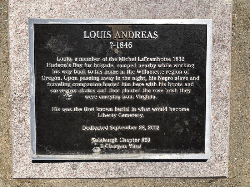
Louis Andreas
? - 1846
Photographed by Barry Swackhamer, June 9, 2020
1. Louis Andreas Marker
His was the first known burial in what would become Liberty Cemetery.
Erected 2002 by E Clampus Vitus, Tuleburgh Chapter No. 69.
Topics and series. This historical marker is listed in this topic list: Cemeteries & Burial Sites. In addition, it is included in the E Clampus Vitus series list. A significant historical year for this entry is 1832.
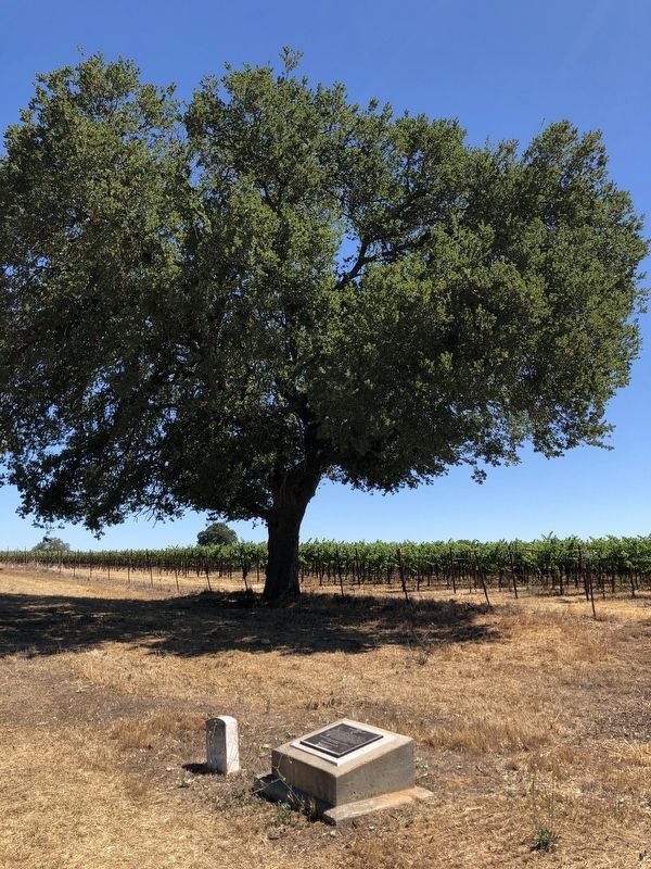
Location. 38° 14.029′ N, 121° 16.71′ W. Marker is near Acampo, California, in San Joaquin County. It can be reached from Liberty Road near U.S. 99, on the left when traveling east. This grave site is in the Liberty Cemetery. Touch for map. Marker is in this post office area: Acampo CA 95220, United States of America. Touch for directions.

Regionally, this marker is in the San Joaquin Valley and specifically in the Central Valley. It is
this page online
Other nearby markers. At least 8 other markers are within 2 miles of this marker, measured as the crow flies: Cemetery of Children (a few steps from this marker); Liberty California (within shouting distance of this marker); Liberty Flag Pole (about 300 feet away, measured in a direct line); Chism Cooper Fugitt and Elizabeth (McWilliams) Fugitt (about 500 feet away); Galt Water Tower (approx. 1.9 miles away); Don Ray Building (approx. 1.9 miles away); George A. Lippi and Joseph F. Smith (approx. 2 miles away); St. Luke's Episcopal Church (approx. 2.1 miles away). Touch for a list and map of all markers in Acampo.
Photographed by Barry Swackhamer, June 9, 2020
2. Louis Andreas Marker
Credits. This page was last revised on June 10, 2020. It was originally submitted on June 10, 2020, by Barry Swackhamer of Brentwood, California. This page has been viewed 359 times since then and 21 times this year. Photos: 1, 2. submitted on June 10, 2020, by Barry Swackhamer of Brentwood, California.
