Nolensville in Williamson County, Tennessee — The American South (East South Central)
Sherwood Green
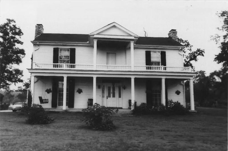
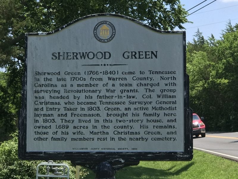
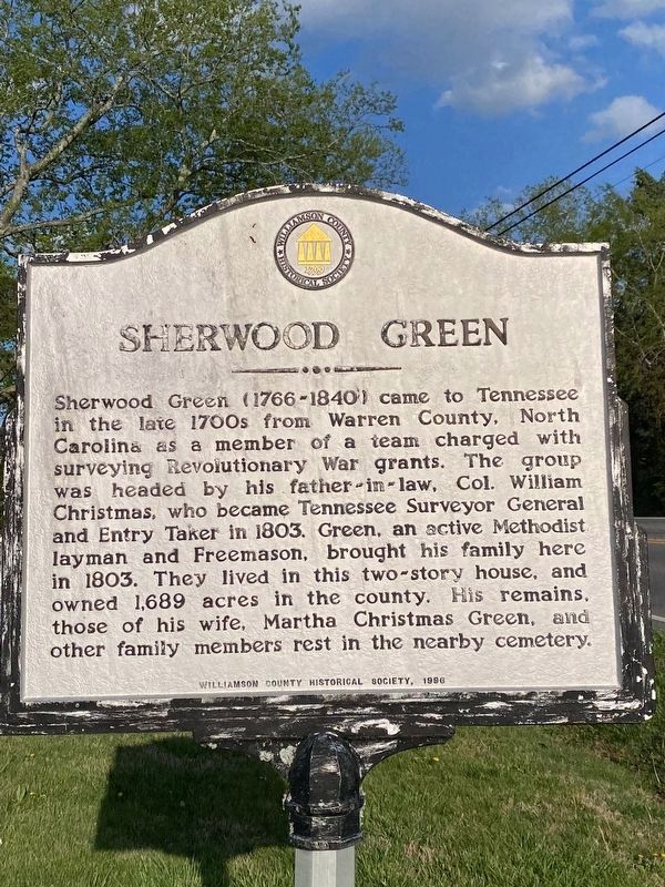
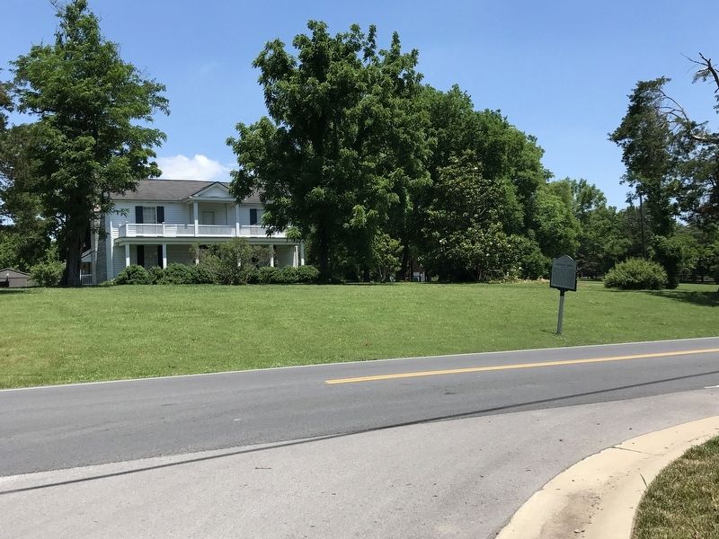
Sherwood Green (1766-1840) came to Tennessee in the late 1700s from Warren County, North Carolina as a member of a team charged with surveying Revolutionary War grants. The group was headed by his father-in-law, Col. William Christmas, who became Tennessee Surveyor General and Entry Taker in 1803. Green, an active Methodist layman and Freemason, brought his family here in 1803. They lived in this two-story house, and owned 1,689 acres in the county. His remains, those of his wife, Martha Christmas Green, and other family members rest in the nearby cemetery.
Erected 1996 by Williamson County Historical Society.
Topics and series. This historical marker is listed in these topic lists: Cemeteries & Burial Sites • Settlements & Settlers. In addition, it is included in the Tennessee – Williamson County Historical Society series list. A significant historical year for this entry is 1766.
Location. 35° 57.167′ N, 86° 39.494′ W. Marker is in Nolensville, Tennessee, in Williamson County. Marker is at the intersection of Rocky Fork Road and Petral Drive, on the left when traveling west on Rocky Fork Road. Touch for map. Marker is at or near this postal address: 3220 Burris Dr, Nolensville TN 37135, United States of America. Touch for directions.
Other nearby markers. At least 8 other markers are within 2 miles of this marker, measured as the crow flies. Nolensville United Methodist Church (approx. 0.6 miles away); Nolensville (approx. 0.7 miles away); Ebenezer United Methodist Church (approx. 0.7 miles away); Nolensville Cemetery (approx. 0.7 miles away); Nolensville War Memorial (approx. 0.9 miles away); Nolensville School (approx. 0.9 miles away); 1937 Historic Nolensville School (approx. 0.9 miles away); Sunset Park (approx. 1˝ miles away). Touch for a list and map of all markers in Nolensville.

via NPS, unknown
4. Sherwood Green House
NPGallery Digital Asset Management System website entry
Click for more information.
Click for more information.
Credits. This page was last revised on April 18, 2023. It was originally submitted on June 10, 2020, by Duane and Tracy Marsteller of Murfreesboro, Tennessee. This page has been viewed 683 times since then and 119 times this year. Photos: 1. submitted on June 10, 2020, by Duane and Tracy Marsteller of Murfreesboro, Tennessee. 2. submitted on April 16, 2023, by Darren Jefferson Clay of Duluth, Georgia. 3. submitted on June 10, 2020, by Duane and Tracy Marsteller of Murfreesboro, Tennessee. 4. submitted on December 30, 2021, by Larry Gertner of New York, New York. • Devry Becker Jones was the editor who published this page.


