Near Lockeford in San Joaquin County, California — The American West (Pacific Coastal)
Elliott Cemetery
Photographed by Barry Swackhamer, June 9, 2020
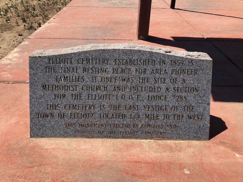
1. Elliott Cemetery Marker
This monument erected by the families and friends of the Elliott Cemetery
Erected by Families and Friends of the Elliott Cemetery.
Topics. This historical marker is listed in these topic lists: Cemeteries & Burial Sites • Settlements & Settlers.
Location. 38° 14.065′ N, 121° 10.597′ W. Marker is near Lockeford, California, in San Joaquin County. It is on Liberty Road near Elliott Road, on the left when traveling east. Touch for map. Marker is at or near this postal address: 11964 Liberty Road, Lockeford CA 95237, United States of America. Touch for directions.

Regionally, this marker is in the San Joaquin Valley and specifically in the Central Valley. It is also on the American Pacific Coast. Globally, it is in North America, on the Ring of Fire, on the Pacific Rim,
this page online
Other nearby markers. At least 8 other markers are within 6 miles of this marker, measured as the crow flies: Elliot Cemetery (here, next to this marker); Dogtown Cemetery (approx. 4.6 miles away); Pioneer Hill/Lockeford (approx. 4.7 miles away); Mackville Road Bridge (approx. 4.9 miles away); Lone Star Mill (approx. 5.1 miles away); Glenview Cemetery (approx. 5.2 miles away); James B. Anderson (approx. 5.2 miles away); Cemetery of Children (approx. 5½ miles away). Touch for a list and map of all markers in Lockeford.
Photographed by Barry Swackhamer, June 9, 2020
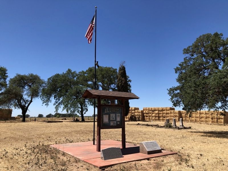
2. Elliott Cemetery Marker, on the left
Photographed by Barry Swackhamer, June 9, 2020
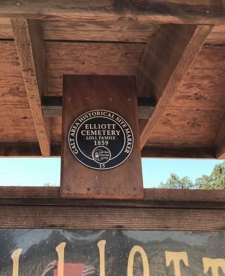
3. Galt Area Historical Site Marker
Loll Family
1859
Galt Area Historical Society
#15
Credits. This page was last revised on June 11, 2020. It was originally submitted on June 11, 2020, by Barry Swackhamer of Brentwood, California. This page has been viewed 772 times since then and 83 times this year. Photos: 1, 2, 3. submitted on June 11, 2020, by Barry Swackhamer of Brentwood, California.
