Waxahachie in Ellis County, Texas — The American South (West South Central)
Waxahachie City Cemetery
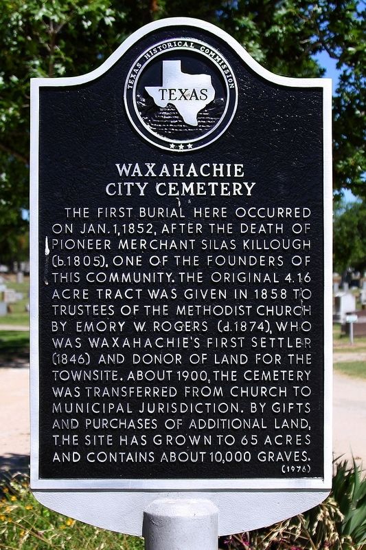
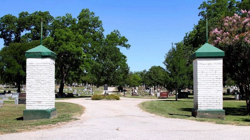
The first burial here occurred on Jan. 1, 1852, after the death of pioneer merchant Silas Killough (b. 1805), one of the founders of this community. The original 4.16 acre tract was given in 1858 to trustees of the Methodist church by Emory W. Rogers (d.1874), who was Waxahachie's first settler (1846) and donor of land for the townsite. About 1900, the cemetery was transferred from church to municipal jurisdiction. By gifts and purchases of additional land, the site has grown to 65 acres and contains about 10,000 graves.
Erected 1976 by Texas Historical Commission. (Marker Number 7157.)
Topics. This historical marker is listed in this topic list: Cemeteries & Burial Sites. A significant historical date for this entry is January 1, 1852.
Location. 32° 23.202′ N, 96° 51.398′ W. Marker is in Waxahachie, Texas, in Ellis County. Marker is on South Hawkins Street south of Railroad Street, on the right when traveling south. Touch for map. Marker is at or near this postal address: 300 S Hawkins St, Waxahachie TX 75165, United States of America. Touch for directions.
Other nearby markers. At least 8 other markers are within walking distance of this marker. Paul Richards Park (about 400 feet away, measured in a direct line); Henry Curry (about 400 feet away); N. P. Sims Library and Lyceum (approx. ¼ mile away); The Mahoney-Thompson House (approx. 0.3 miles away); First Presbyterian Church Building (approx. 0.3 miles away); Homesite of Dr. D.G. Thompson (approx. 0.3 miles away); Ellis County Woman's Building (Davis Hall) (approx. 0.3 miles away); M K & T Railroad (approx. half a mile away). Touch for a list and map of all markers in Waxahachie.
Credits. This page was last revised on June 24, 2020. It was originally submitted on June 13, 2020, by Larry D. Moore of Del Valle, Texas. This page has been viewed 420 times since then and 68 times this year. Photos: 1. submitted on June 13, 2020, by Larry D. Moore of Del Valle, Texas. 2. submitted on June 24, 2020, by Larry D. Moore of Del Valle, Texas.

