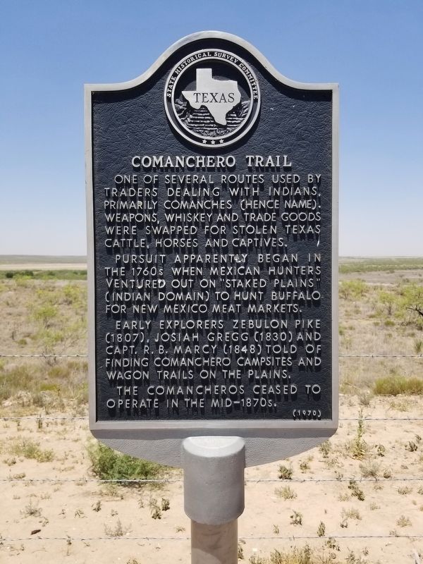
Comanchero Trail
Pursuit apparently begun in the 1760s, when Mexican hunters ventured out on "Staked Plains" (Indian domain) to hunt buffalo for New Mexico meat markets.
Early explorers Zebulon Pike (1807), Josiah Gregg (1830) and Captain R.B. Marcy (1848) told of finding Comanchero campsites and wagon trails on the plains. The Comancheros ceased to operate in the mid-1870s.
Erected 1970 by State Historical Survey Committee. (Marker Number 997.)
Topics. This historical marker is listed in these topic lists: Exploration • Industry & Commerce • Native Americans.
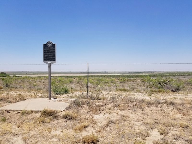
Location. 33° 54.169′ N, 102° 28.72′ W. Marker is in Littlefield, Texas, in Lamb County. Marker is on FM 54, on the right when traveling west. The marker can be found from Littlefield taking SH 54 west, then about 8 miles. Touch for map. Marker is in this post office area: Littlefield TX 79339, United States of America. Touch for directions.
Other nearby markers. At least 7 other markers are within 16 miles of this marker, measured as the crow flies. Town of Amherst (approx. 8.1 miles away); In Memory of George W. Littlefield
Credits. This page was last revised on June 14, 2020. It was originally submitted on June 14, 2020, by Allen Lowrey of Amarillo, Texas. This page has been viewed 456 times since then and 29 times this year. Photos: 1, 2. submitted on June 14, 2020, by Allen Lowrey of Amarillo, Texas. • J. Makali Bruton was the editor who published this page.

