Near Earth in Lamb County, Texas — The American South (West South Central)
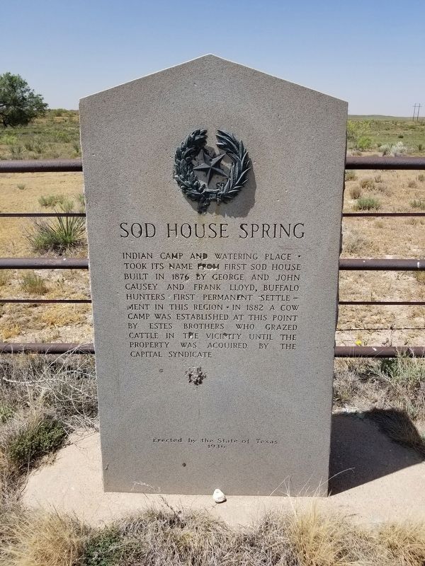
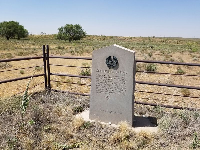
Sod House Spring
Erected 1936 by State of Texas. (Marker Number 13832.)
Topics and series. This historical marker is listed in these topic lists: Industry & Commerce • Settlements & Settlers. In addition, it is included in the Texas 1936 Centennial Markers and Monuments series list.
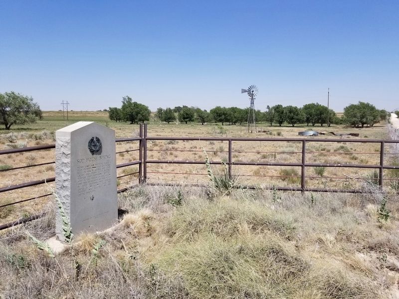
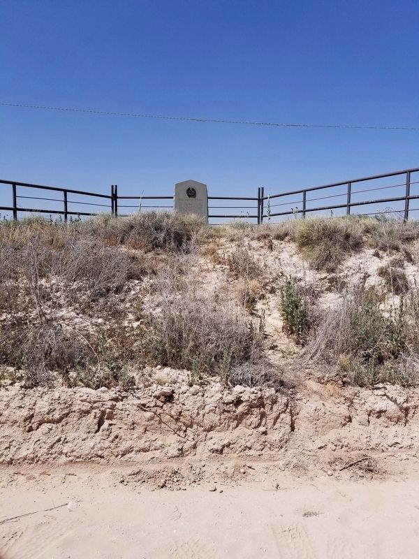
Location. 34° 6.213′ N, 102° 24.346′ W. Marker is near Earth, Texas, in Lamb County. Marker is on County Road 172, one mile east of County Road 1055, on the left when traveling east. Touch for map. Marker is in this post office area: Earth TX 79031, United States of America. Touch for directions.
Other nearby markers. At least 8 other markers are within 11 miles of this marker, measured as the crow flies. Rocky Ford Crossing and Community (approx. 4.9 miles away); Lamb County Sand Hills (approx. 5.9 miles away); Town of Amherst (approx. 6.6 miles away); Old Watering Trough (approx. 7.2 miles away); Quanah Parker Trail (approx. 7.2 miles away); Earth (approx. 8.9 miles away); a different marker also named Quanah Parker Trail (approx. 9 miles away); First Irrigation Well in Lamb County (approx. 10.3 miles away). Touch for a list and map of all markers in Earth.
Credits. This page was last revised on June 14, 2020. It was originally submitted on June 14, 2020, by Allen Lowrey of Amarillo, Texas. This page has been viewed 363 times since then and 27 times this year. Photos: 1, 2, 3, 4. submitted on June 14, 2020, by Allen Lowrey of Amarillo, Texas. • J. Makali Bruton was the editor who published this page.


