Near Grand Marais in Cook County, Minnesota — The American Midwest (Upper Plains)
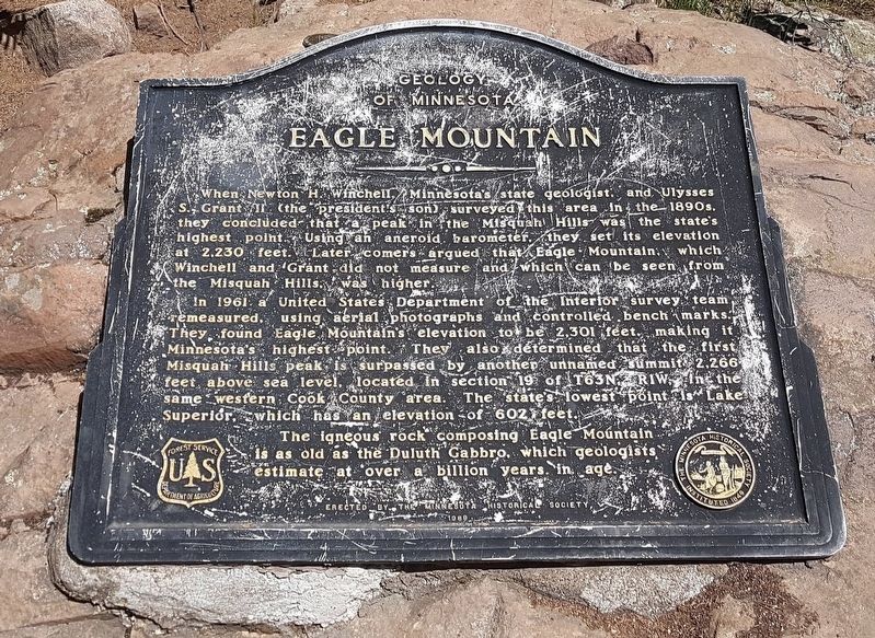
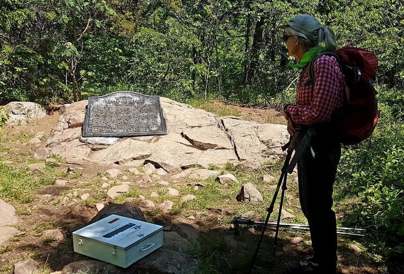
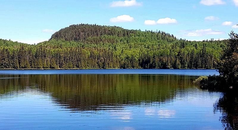
Eagle Mountain
Geology of Minnesota
When Newton H. Winchell, Minnesota's state geologist, and, Ulysses S. Grant II (the president’s son) surveyed this area in the 1890s, they concluded that a peak in the Misquah Hills was the state's highest point. Using an aneroid barometer, they set its elevation at 2,230 feet. Later comers argued that Eagle Mountain, which Winchell and Grant did not measure and which can be seen from the Misquah Hills was higher.
In 1961 a United States Department of the Interior survey team remeasured, using aerial photographs and controlled bench marks. They found Eagle Mountain's elevation to be 2,301 feet, making it Minnesota's highest point. They also determined that the first Misquah Hills peak is surpassed by another, unnamed summit 2,266 feet above sea level, located in section 19 of T63N, RIW, in the same western Cook County area. The state's lowest point is Lake Superior, which has an elevation of 602 feet.
The igneous rock composing Eagle Mountain is as old as the Duluth Gabbro, which geologists estimate at over a billion years in age.
Erected by the Minnesota Historical Society
1989
Erected 1989 by Minnesota Historical Society and US Forest Service, USDA.
Topics and series. This historical marker is listed in these topic lists: Exploration • Parks & Recreational Areas. In addition, it is included in the Minnesota Historical Society series list. A significant historical year for this entry is 1961.
Location. 47° 53.842′ N, 90° 33.652′ W. Marker is near Grand Marais, Minnesota, in Cook County. The Eagle Mountain Trailhead is at the intersection of Roads 153 and 158. Touch for map. Marker is in this post office area: Grand Marais MN 55604, United States of America. Touch for directions.
Other nearby markers. At least 6 other markers are within 16 miles of this marker, measured as the crow flies. Geology of Good Harbor Bay (approx. 13.1 miles away); Cascade River Overlook (approx. 13.3 miles away); Gunflint Trail (approx. 15.7 miles away); The 2007 Ham Lake Fire (approx. 15.7 miles away); Gunflint Lake Scenic Overlook (approx. 15.7 miles away); Canot du Nord (North Canoe) Replica (approx. 15.7 miles away).
Credits. This page was last revised on June 24, 2020. It was originally submitted on June 14, 2020, by J. Makali Bruton of Accra, Ghana. This page has been viewed 463 times since then and 52 times this year. Photos: 1, 2, 3. submitted on June 14, 2020, by J. Makali Bruton of Accra, Ghana.


