Woodland Drives in Tallahassee in Leon County, Florida — The American South (South Atlantic)
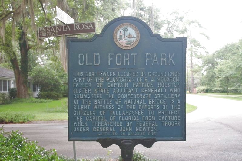
Old Fort Park
This earth work located on ground once part of the plantation of E.A. Houston, father of Captain Patrick Houston (later state adjutant general) who commanded the Confederate artillery at the Battle of Natural Bridge, is a silent witness of the efforts of the citizens of Tallahassee to protect the capitol of Florida from capture by federal troops under General John Newton.
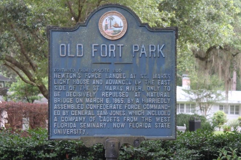
Continued from opposite side:
Newton's force landed at St. Marks light house and advanced up the east side of the St. Marks River, only to be decisively repulsed at Natural Bridge on March 6, 1865, by a hurriedly assembled Confederate force commanded by General Sam Jones, which included a company of cadets from the West Florida Seminary, now Florida State University.
Erected by City of Tallahassee.
Topics. This historical marker is listed in these topic lists: Forts and Castles • Parks & Recreational Areas • War, US Civil. A significant historical date for this entry is March 6, 1865.
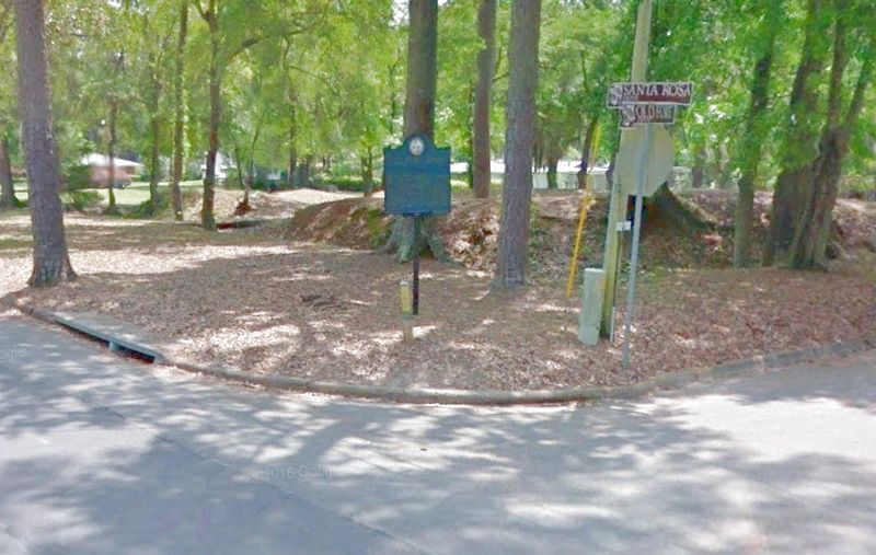
Location. 30° 25.78′ N, 84° 16.055′ W. Marker is in Tallahassee, Florida, in Leon County. It is in Woodland Drives. Marker is at the intersection of Santa Rosa Drive and Old Fort Drive, on the right when traveling east on Santa Rosa Drive. An identical marker is located nearby in the park. Touch for map. Marker is in this post office area: Tallahassee FL 32301, United States of America. Touch for directions.
Other nearby markers. At least 8 other markers are within walking distance of this marker. A different marker also named Old Fort Park (within shouting distance of this marker); Myers Park Historic District (approx. 0.4 miles away); His Dream Dies With Him (approx. 0.4 miles away); Land of the Apalachee (approx. 0.4 miles away); Governor John W. Martin House (approx. 0.4 miles away); De Soto Winter Encampment Site 1539~1540 (approx. half a mile away); Capital City Country Club (approx. 0.6 miles away); Adderley Amphitheater (approx. 0.6 miles away). Touch for a list and map of all markers in Tallahassee.
Credits. This page was last revised on February 12, 2023. It was originally submitted on June 14, 2020, by Tim Fillmon of Webster, Florida. This page has been viewed 445 times since then and 49 times this year. Photos: 1, 2, 3. submitted on June 14, 2020, by Tim Fillmon of Webster, Florida. • Bernard Fisher was the editor who published this page.


