Near Dickson in Dickson County, Tennessee — The American South (East South Central)
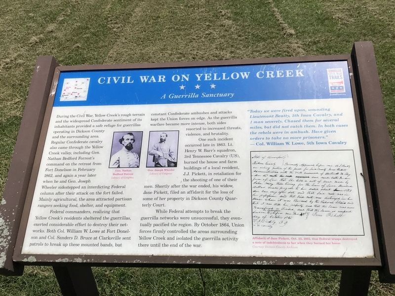
Civil War on Yellow Creek
A Guerrilla Sanctuary
Photographed by Duane and Tracy Marsteller, June 14, 2020
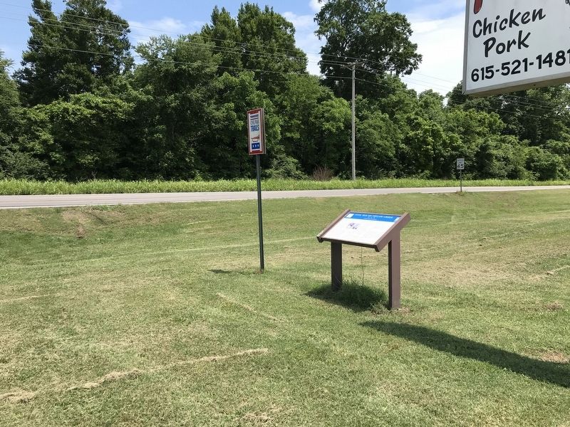
1. Civil War on Yellow Creek Marker
Federal commanders, realizing that Yellow Creek's residents sheltered the guerrillas, exerted considerable efforts to destroy their networks. Both Col. William W. Lowe at Fort Donelson and Col. Sanders D. Bruce at Clarksville sent patrols to break up these mounted bands, but constant Confederate ambushes and attacks kept the Union forces on edge. As the guerrilla warfare became more intense, both sides resorted to increased threats, violence, and brutality.
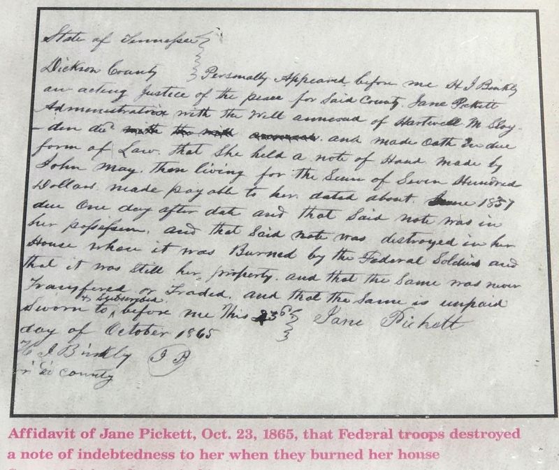
One such incident occurred late in 1863. Lt. Henry W. Barr's squadron,
this page online
While Federal attempts to break the guerrilla networks were unsuccessful, they eventually pacified the region. By October 1864, Union forces firmly controlled the areas surrounding Yellow Creek and isolated the guerrilla activity there until the end of the war.
“Today we were fired upon, wounding Lieutenant Beatty, 5th Iowa Cavalry, and 1 man severely. Chased them for several miles, but did not catch them. In both cases the rebels were in ambush. Have given orders to take no more prisoners.”
— Col. William W. Lowe, 5th Iowa Cavalry
Erected by Tennessee Civil War Trails.
Topics and series. This historical marker is listed in this topic list: War, US Civil. In addition, it is included in the Tennessee Civil War Trails series list. A significant historical month for this entry is February 1862.
Location. 36° 8.527′ N, 87° 30.169′ W. Marker is
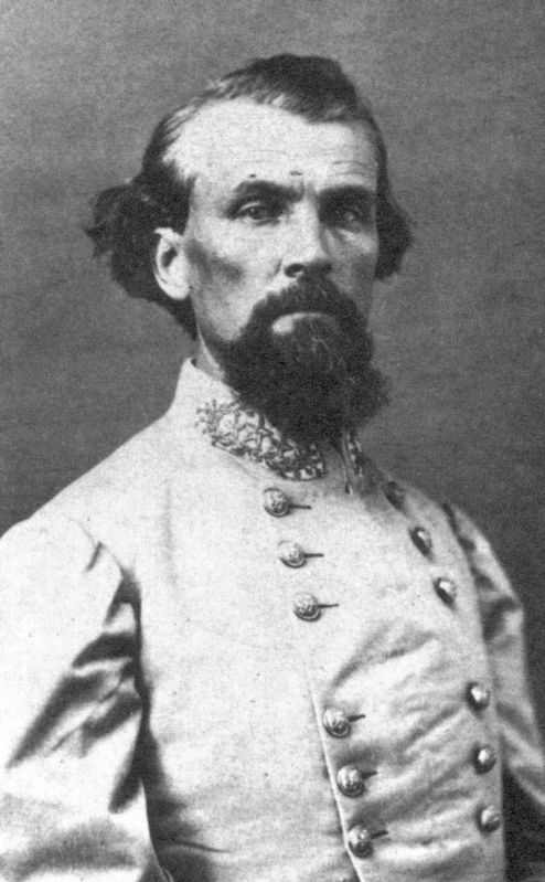
Library of Congress
2. Gen. Nathan Bedford Forrest

Regionally, this marker is in Middle Tennessee, in the Highland Rim, and in Greater Nashville. It is also in the American South and specifically in the Upper South. Globally, it is in North America, the Western Hemisphere, the Western World, and the Anglosphere. Historically, it finds itself in what was once the territory of the Mississippian Culture, one of the Confederate States of America, and the Antebellum South.
Other nearby markers. At least 8 other markers are within 8 miles of this marker, measured as the crow flies: Irish Shanty (approx. 3½ miles away); Camp Gillem (approx. 3½ miles away); James Worley (approx. 6.2 miles away); Yellow Bank Trestle (approx. 7.7 miles away); First National Bank (approx. 7.8 miles away); Gossett/Ragan Building (approx. 7.9 miles away); Masonic/Pythian Building (approx. 7.9 miles away);
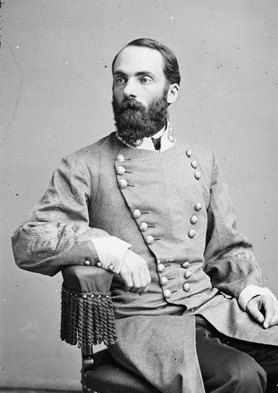
Library of Congress, June 15, 2020
3. Gen. Joseph Wheeler
Photographed by Duane and Tracy Marsteller, June 14, 2020
4. Civil War on Yellow Creek Marker inset
Photographed by Duane and Tracy Marsteller, June 14, 2020
5. Civil War on Yellow Creek Marker
Credits. This page was last revised on November 10, 2024. It was originally submitted on June 15, 2020, by Duane and Tracy Marsteller of Murfreesboro, Tennessee. This page has been viewed 2,973 times since then and 146 times this year. Photos: 1, 2, 3, 4, 5. submitted on June 15, 2020, by Duane and Tracy Marsteller of Murfreesboro, Tennessee. • Bernard Fisher was the editor who published this page.
