Near Charlotte in Dickson County, Tennessee — The American South (East South Central)
Robert Nesbit
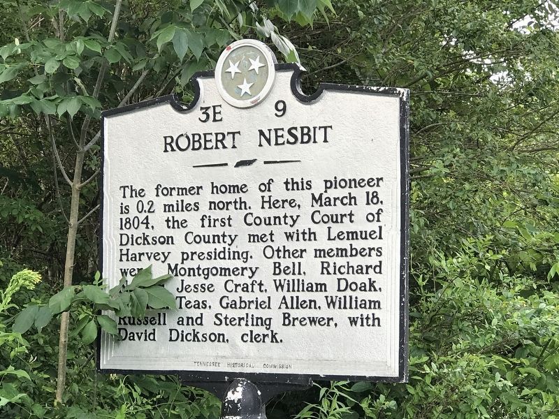
Photographed by Duane and Tracy Marsteller, June 14, 2020
1. Robert Nesbit Marker
Erected by Tennessee Historical Commission. (Marker Number 3E 9.)
Topics and series. This historical marker is listed in these topic lists: Law Enforcement • Settlements & Settlers. In addition, it is included in the Tennessee Historical Commission series list. A significant historical date for this entry is March 18, 1804.
Location. 36° 12.044′ N, 87° 22.286′ W. Marker is near Charlotte, Tennessee, in Dickson County. It is on Van Leer Highway (State Highway 49) 0.1 miles west of Fagen Chapel Road, on the right when traveling west. Touch for map. Marker is at or near this postal address: 3506 Van Leer Hwy, Charlotte TN 37036, United States of America. Touch for directions.

Regionally, this marker is in Middle Tennessee, in the Highland Rim, and in Greater Nashville. It is also in the American South
this page online
Other nearby markers. At least 8 other markers are within 5 miles of this marker, measured as the crow flies: Promise Land School (approx. 2.3 miles away); Fighting for Freedom (approx. 2.3 miles away); Promise Land (approx. 2.3 miles away); Theodore Edmondson / Lizzie Vanleer Edmondson (approx. 2.4 miles away); To All Who Served (approx. 2.4 miles away); Civil War In Charlotte (approx. 2.4 miles away); Hand House (approx. 4½ miles away); Thompson House (approx. 4.6 miles away). Touch for a list and map of all markers in Charlotte.
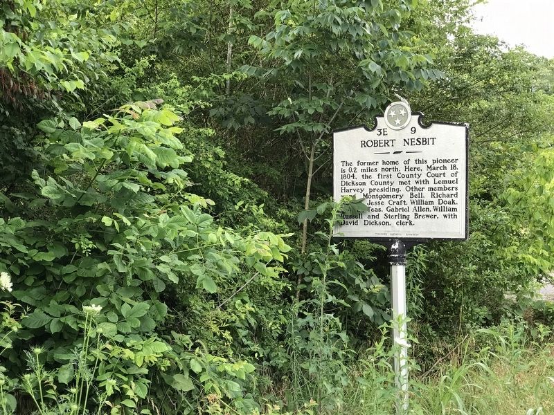
Photographed by Duane and Tracy Marsteller, June 14, 2020
2. Robert Nesbit Marker
Credits. This page was last revised on June 16, 2020. It was originally submitted on June 15, 2020, by Duane and Tracy Marsteller of Murfreesboro, Tennessee. This page has been viewed 1,088 times since then and 66 times this year. Photos: 1, 2. submitted on June 15, 2020, by Duane and Tracy Marsteller of Murfreesboro, Tennessee. • Devry Becker Jones was the editor who published this page.
