Near Burns in Dickson County, Tennessee — The American South (East South Central)
The CCC at Montgomery Bell
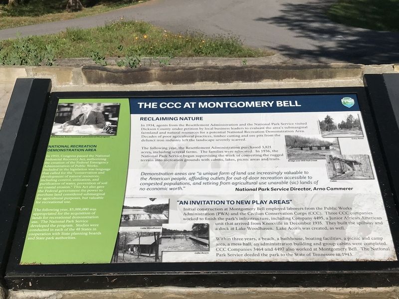
In 1934, agents from the Resettlement Administration and the National Park Service visited Dickson County under petition by local business leaders to evaluate the area’s submarginal farmland and natural resources for a potential National Recreation Demonstration Area. Decades of poor agricultural practices, timber cutting and ore pits from the defunct iron industry left the landscape severely scarred.
The following year, the Resettlement Administration purchased 3,821 acres, including several farms. The families were relocated. In 1936, the National Park Service began supervising the work of converting the rugged terrain into recreation grounds with cabins, lakes, picnic areas and trails.
Demonstration areas are “a unique form of land use increasingly valuable to the American people, affording outlets for out-of-door recreation accessible to congested populations, and retiring from agricultural use unarable (sic) lands of no economic worth.”
— National Park Service Director, Arno Cammerer
Initial construction .at Montgomery Bell employed laborers from the Public Works Administration (PWA) and the Civilian Conservation Corps (CCC). Three CCC companies worked to finish the park’s infrastructure, including Company 4495, a Junior African American unit that arrived from Knoxville in December 1935. They built the spillway and a dock at Lake Woodhaven. Lake Acorn was created, as well.
Within three years, a beach, a bathhouse, boating facilities, a picnic and camp area, a mess hall, an administration building and group cabins were completed. CCC Companies 3464 and 4497 also worked at Montgomery Bell. The National Park Service deeded the park to the State of Tennessee in 1943.
[Sidebar]
In 1933, Congress passed the National Industrial Recovery Act, authorizing the creation of the Federal Emergency Administration of Public Works. Included in the legislation was language that called for the "conservation and development of natural resources, including control, utilization, and purification of water, prevention of soil or coastal erosion.” This Act also gave the Federal government the power to purchase land considered submarginal for agricultural purposes, but valuable for recreational use.
The following year, $5,000,000 was appropriated for the acquisition of lands for recreational demonstration use. The National Park Service developed the program. Studies were conducted in each of the 48 States in cooperation
with State planning boards
and State park authorities.
Erected by Tennessee State Parks.
Topics and series. This historical marker is listed in these topic lists: Charity & Public Work • Parks & Recreational Areas. In addition, it is included in the Civilian Conservation Corps (CCC) series list. A significant historical month for this entry is December 1935.
Location. 36° 6.075′ N, 87° 17.085′ W. Marker is near Burns, Tennessee, in Dickson County. Marker can be reached from Jackson Hill Road. Marker located in visitor center parking lot. Touch for map. Marker is at or near this postal address: 1020 Jackson Hill Road, Burns TN 37029, United States of America. Touch for directions.
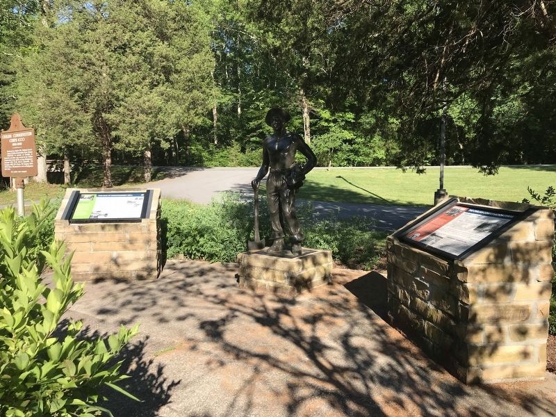
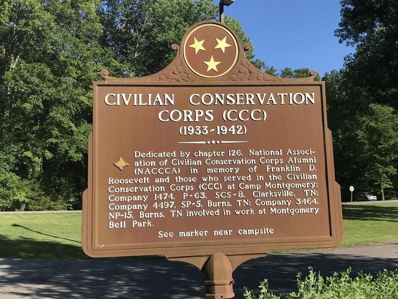
Other nearby markers. At least 8 other markers are within 4 miles of this marker, measured as the crow flies. The Civilian Conservation Corps (here, next to this marker); Birth of a Church (about 600 feet away, measured in a direct line); The Old Log House (approx. 0.8 miles away); Cumberland Presbyterian Church Monument (approx. 0.8 miles away); The Civilian Conservation Corps and Montgomery Bell State Park (approx. 1.4 miles away); McNairy’s Attack (approx. 2 miles away); The Civil War in White Bluffs (approx. 3.4 miles away); "Lonesome" Cabin (approx. 4 miles away). Touch for a list and map of all markers in Burns.
More about this marker.
[Captions]
Lake Woodhaven
Lake
Acorn
Entry Road
Bridge over Will Hall Creek
Cabin
Credits. This page was last revised on June 16, 2020. It was originally submitted on June 16, 2020, by Duane and Tracy Marsteller of Murfreesboro, Tennessee. This page has been viewed 210 times since then and 22 times this year. Photos: 1, 2, 3, 4. submitted on June 16, 2020, by Duane and Tracy Marsteller of Murfreesboro, Tennessee. • Devry Becker Jones was the editor who published this page.


