Brentwood in Williamson County, Tennessee — The American South (East South Central)
Sneed Acres
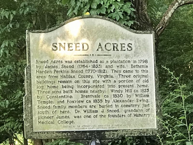
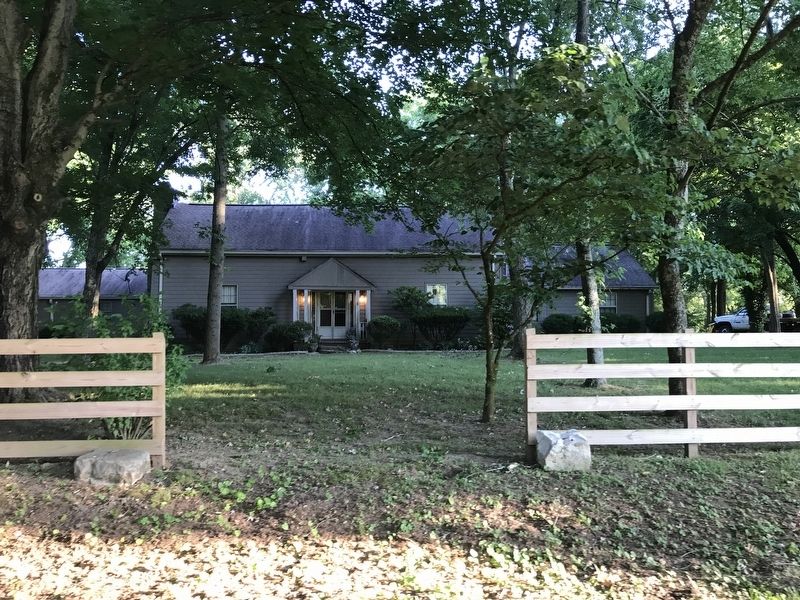
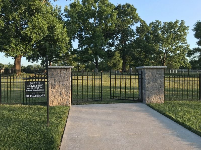
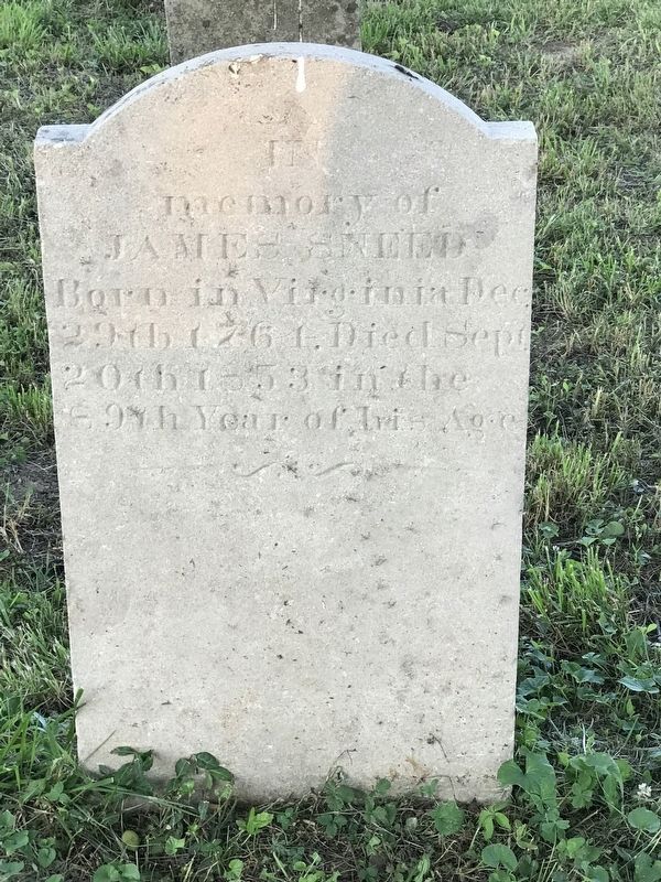
Sneed Acres was established as a plantation in 1798 by James Sneed (1764-1853) and wife, Bethenia Harden Perkins Sneed (1770-1812). They came to this area from Halifax County, Virginia. Three original buildings remain on this site with a portion of old log home being incorporated Into present home. Three sons built homes nearby: Windy Hill ca 1825 by Constantine; Brentyale ca 1830 by William Temple; and Foxview ca 1835 by Alexander Ewing. Sneed family members are buried in cemetery just south of here. Dr. William J. Sneed, grandson of pioneer James, was one of the founders of Meharry Medical College.
Erected 1987 by The International Association of Sneeds and Williamson County Historical Society.
Topics and series. This historical marker is listed in these topic lists: Agriculture • Architecture. In addition, it is included in the Tennessee – Williamson County Historical Society series list. A significant historical year for this entry is 1798.
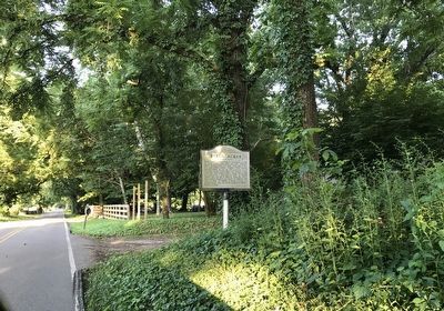
Location. 36° 1.072′ N, 86° 46.044′ W. Marker is in Brentwood, Tennessee, in Williamson County. Marker is on Old Smyrna Road, 0.3 miles east of Jones Parkway, on the right when traveling east. Touch for map. Marker is at or near this postal address: 9207 Old Smyrna Road, Brentwood TN 37027, United States of America. Touch for directions.
Other nearby markers. At least 8 other markers are within 2 miles of this marker , measured as the crow flies. Cottonport (approx. 0.6 miles away); Owen-Moore Cemetery (approx. 1.2 miles away); Hardscuffle Community (approx. 1.3 miles away); Mooreland (approx. 1.4 miles away); Mount Pisgah Community (approx. 1.4 miles away); Brentwood United Methodist Church (approx. 1.6 miles away); Forrest's Brentwood Raid (approx. 1.6 miles away); Davidson County / Williamson County (approx. 1.7 miles away). Touch for a list and map of all markers in Brentwood.
Credits. This page was last revised on August 27, 2020. It was originally submitted on June 16, 2020, by Duane and Tracy Marsteller of Murfreesboro, Tennessee. This page has been viewed 957 times since then and 161 times this year. Photos: 1, 2, 3, 4, 5. submitted on June 16, 2020, by Duane and Tracy Marsteller of Murfreesboro, Tennessee. • J. Makali Bruton was the editor who published this page.
