Downtown in St. Louis, Missouri — The American Midwest (Upper Plains)
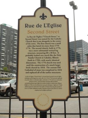
Rue de l’Eglise
Second Street
English
Rue de l’Eglise (“Church Street” or Second Street) was named for the Catholic Church that it ran alongside the center of the town. The first church was a small cabin that lasted six years, from 1770-1776. The second church, built in 1776, was a more substantial vertical log structure, measuring 60 x 30 feet. It probably looked very much like the Holy Family Church in Cahokia, Illinois (built in 1799), with nearly identical dimensions. The 1776 church was used until the construction of a much larger brick church by 1818. The current Old Cathedral of stone was completed in 1834 and replaced all of the earlier structures.
French
Erected 2014 by Creole Colonial Corridor.
Topics. This historical marker is listed in this topic list: Roads & Vehicles. A significant historical year for this entry is 1818.
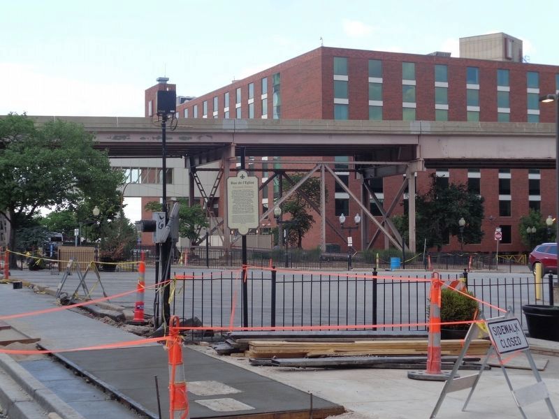
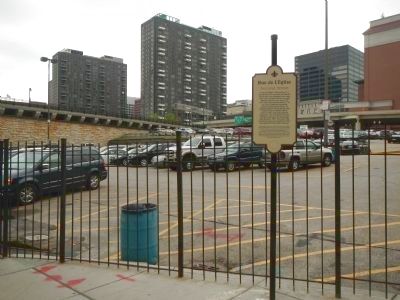
Location. 38° 37.858′ N, 90° 11.06′ W. Marker is in St. Louis, Missouri. It is in Downtown. Marker is on North 2nd Street near Morgan Street, on the right when traveling north. Marker was originally located at a parking lot across from the Greeley Building (618-624 N. 2nd Street), but as of June 2020 it now sits at the northern parking lot just down the street. Touch for map. Marker is at or near this postal address: 720 N 2nd St, Saint Louis MO 63102, United States of America. Touch for directions.
Other nearby markers. At least 8 other markers are within walking distance of this marker. La Grande Rue (about 300 feet away, measured in a direct line); Old Missouri Hotel (about 300 feet away); Rue Royale (about 500 feet away); In Memory of Katherine Ward Burg (about 500 feet away); 1996 (about 800 feet away); 1994 (about 800 feet away); 1995 (about 800 feet away); 1997 (approx. 0.2 miles away). Touch for a list and map of all markers in St. Louis.
More about this marker. This marker is located in Laclede's Landing. It is one of seven street markers given (by the Creole Colonial Corridor) to St. Louis in honor of the city's 250th birthday.
Credits. This page was last revised on January 30, 2023. It was originally submitted on November 12, 2014, by Barry Swackhamer of Brentwood, California. This page has been viewed 563 times since then and 44 times this year. Last updated on June 17, 2020, by Jason Voigt of Glen Carbon, Illinois. Photos: 1. submitted on November 12, 2014, by Barry Swackhamer of Brentwood, California. 2. submitted on June 17, 2020, by Jason Voigt of Glen Carbon, Illinois. 3. submitted on November 12, 2014, by Barry Swackhamer of Brentwood, California. • Devry Becker Jones was the editor who published this page.


