Near LeRoy in Genesee County, New York — The American Northeast (Mid-Atlantic)
D.W. Airport
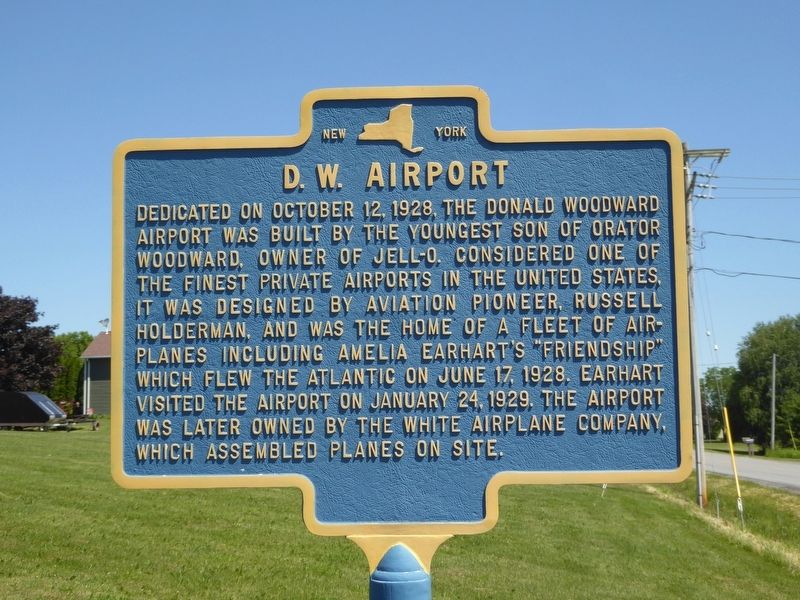
Photographed by Bruce Kelly, June 17, 2020
1. D.W. Airport Marker
Topics. This historical marker is listed in these topic lists: Air & Space • Industry & Commerce • Women.
Location. 42° 58.431′ N, 77° 57.996′ W. Marker is near LeRoy, New York, in Genesee County. It is on Asbury Road 0.4 miles south of East Main Road (New York State Route 5), on the right when traveling south. Marker is in front of the Leroy Town Office / Highway Dept. Touch for map. Marker is at or near this postal address: 9200 Asbury Rd, Le Roy NY 14482, United States of America. Touch for directions.

Regionally, this marker is in
this page online
Other nearby markers. At least 8 other markers are within one mile of this marker, measured as the crow flies: Ganson Tavern (approx. 0.6 miles away); Site of the First School (approx. 0.6 miles away); Le Roy House (approx. one mile away); The LeRoy House (approx. one mile away); To Honor (approx. one mile away); Town of LeRoy (approx. one mile away); Le Roy Civil War Memorial (approx. 1.1 miles away); Ingham University (approx. 1.1 miles away). Touch for a list and map of all markers in LeRoy.
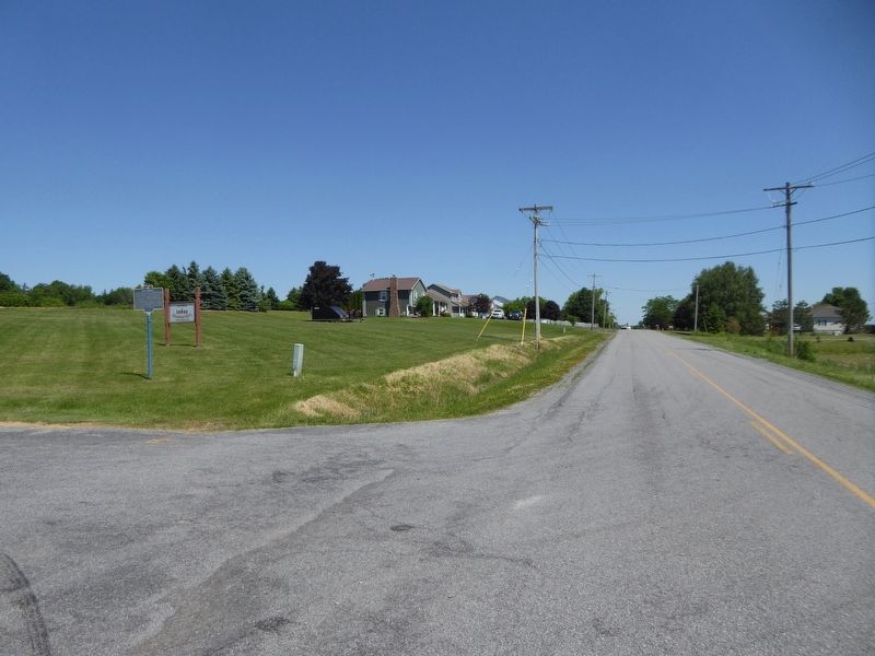
Photographed by Bruce Kelly, June 17, 2020
2. D.W. Airport Marker
Looking North up Asbury Rd, Leroy, NY
Credits. This page was last revised on August 22, 2020. It was originally submitted on June 17, 2020, by Bruce Kelly of Perry, New York. This page has been viewed 880 times since then and 59 times this year. Photos: 1, 2. submitted on June 17, 2020, by Bruce Kelly of Perry, New York. • Devry Becker Jones was the editor who published this page.
