
Angeles National Forest in Los Angeles County, California — The American West (Pacific Coastal)
Ridge Route Directory
View Service Station
Photographed by Craig Baker, 2015
1. Ridge Route Directory Marker
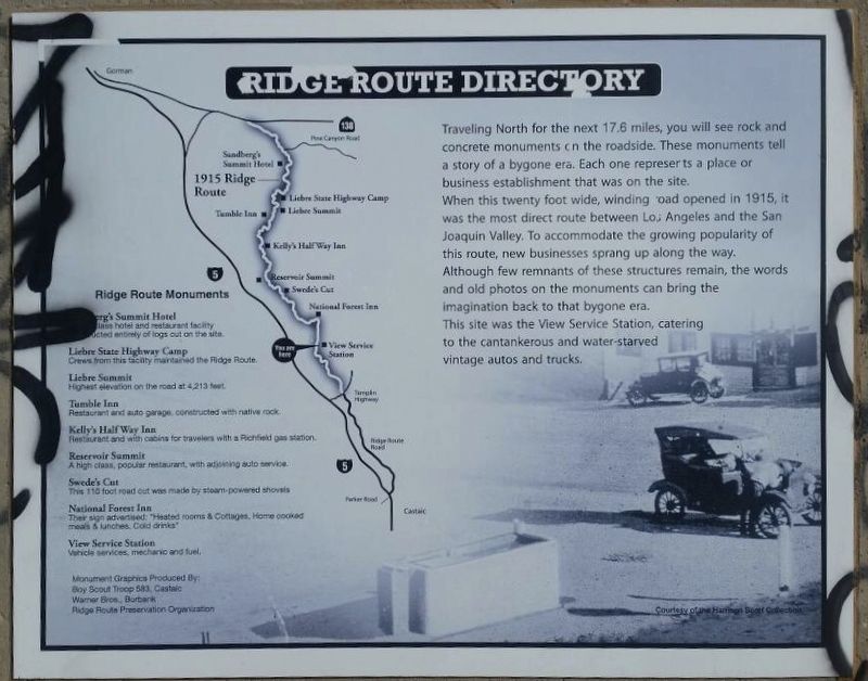
Traveling north for the next 17.6 miles, you will see rock and concrete monuments on the roadside. These monuments tell a story of a bygone era. Each one represents a place or business establishment that was on the site. When this twenty foot wide, winding road opened in 1915, it was the most direct route between Los Angeles and the San Joaquin Valley. To accommodate the growing popularity of the route, new businesses sprang up along the way. Although few remnants of these structures remain, the words and old photos on the monuments can bring the imagination back to the bygone era. This site was the View Service Station, catering to the cantankerous and water-starved vintage autos and trucks.
Ridge Route Monuments
Sandberg’s Summit Hotel - First class hotel and restaurant facility constructed entirely of logs cut on the site.
Liebre State Highway Camp - Crews from this facility maintained the Ridge Route.
Liebre Summit - Highest elevation on the road at 4,213 feet.
Tumble Inn - Restaurant and auto garage constructed of native rock.
Kelly’s Halfway Inn - Restaurant and cabins for travelers with a Richfield
this page online
Reservoir Summit - A high class, popular restaurant, with adjoining auto service.
Swede’s Cut - This 110 foot road cut was made by steam-powered shovels.
National Forest Inn - Their sign advertised: “Heated rooms & Cottages, Home cooked meals & lunches, Cold drinks.”
View Service Station - Vehicle services, mechanic and fuel.
Courtesy of the Harrison Scott Collection.
Erected 1997 by California 4×4 Club; Boy Scout Troop 583 (Castaic); and Ridge Route Preservation Organization.
Topics. This historical marker is listed in these topic lists: Industry & Commerce • Roads & Vehicles. A significant historical year for this entry is 1915.
Location. 34° 35.995′ N, 118° 41.032′ W. Marker has been reported unreadable. Marker is in Angeles National Forest, California, in Los Angeles County. It is on Ridge Route Road 2.7 miles north of Templin Highway, on the right when traveling north. Located 1.3 miles north of a locked gate. Touch for map. Marker is in this post office area: Castaic CA 91384, United States of America. Touch for directions.

Regionally, this marker is in Greater Los Angeles and in the Transverse
Photographed by Craig Baker, June 9, 2020
2. Ridge Route Directory Marker
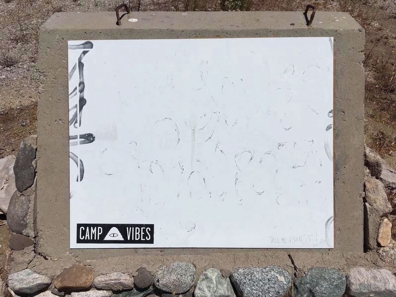
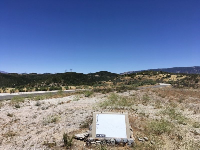
The marker is faded and unreadable.
Other nearby markers. At least 10 other markers are within 8 miles of this location, measured as the crow flies: National Forest Inn (approx. 1½ miles away); Swede’s Cut (approx. 3.6 miles away); Reservoir Summit (approx. 5 miles away); Slide Mountain Lookout (approx. 5.8 miles away); Castaic Powerplant (approx. 6.1 miles away); The “Ridge Route” (approx. 6.1 miles away); Kelly’s Halfway Inn (approx. 6.3 miles away); Pothole Trail and Piru Creek (approx. 7.6 miles away); Tumble Inn (approx. 7.8 miles away); Liebre State Highway Camp (approx. 8.1 miles away). Touch for a list and map of all markers in Angeles National Forest.
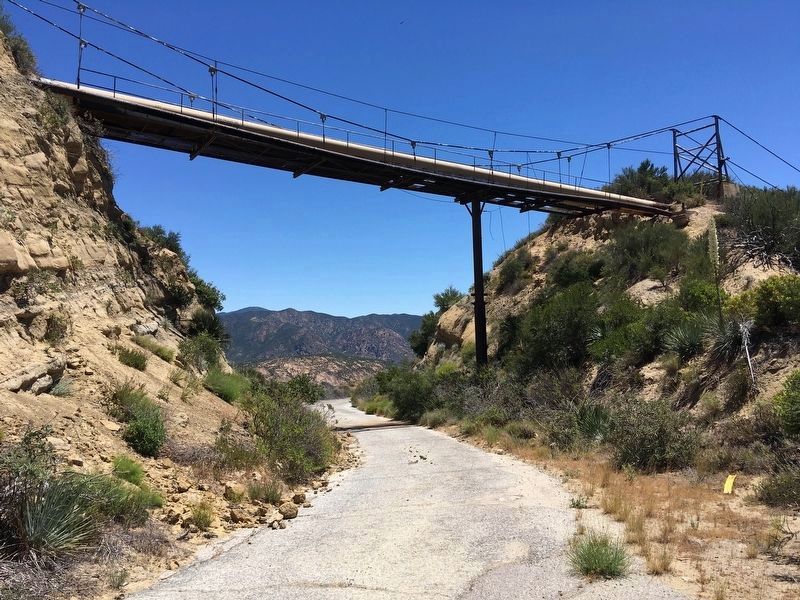
More about this marker. This part of the Ridge Route is currently closed to vehicles from 1½ miles north of Templin Highway at the south end, to 6½ miles south of Highway 138 at the north end. The 13-mile central
Photographed by Craig Baker, June 9, 2020
3. Ridge Route Directory Marker
Regarding Ridge Route Directory. The Ridge Route was constructed on the ridge to avoid drainage problems and reduce earthwork. The ridge portion of the road had 697 curves in 36 miles. This significant highway was the first primary highway connecting Northern and Southern California. The Ridge Route was replaced by US 99 in 1934, which was replaced by Interstate 5 in 1968. This road was added to the National Register of Historic Places in 1997.
Also see . . . Ridge Route Preservation Organization. (Submitted on June 10, 2020.)
Photographed by Craig Baker, June 9, 2020
4. Ridge Route Road
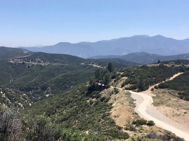
Photographed by Craig Baker, June 17, 2020
5. Ridge Route Road
Credits. This page was last revised on January 17, 2026. It was originally submitted on June 10, 2020, by Craig Baker of Sylmar, California. This page has been viewed 2,584 times since then and 319 times this year. Last updated on June 18, 2020, by Craig Baker of Sylmar, California. Photos: 1, 2, 3, 4. submitted on June 10, 2020, by Craig Baker of Sylmar, California. 5. submitted on June 20, 2020, by Craig Baker of Sylmar, California. • J. Makali Bruton was the editor who published this page.
