Dandridge in Jefferson County, Tennessee — The American South (East South Central)
Blant’s Hill
Holding the Line
In November 1863, Confederate Gen. James Longstreet led a force from Chattanooga to attack Union Gen. Ambrose Burnside’s army at Knoxville. The campaign failed, and in December Longstreet’s men marched east along the East Tennessee and Virginia Railroad to winter quarters at Russellville, where they remained until March 1864. Numerous small engagements between Longstreet’s and Burnside’s armies occurred during the winter.
(main text)
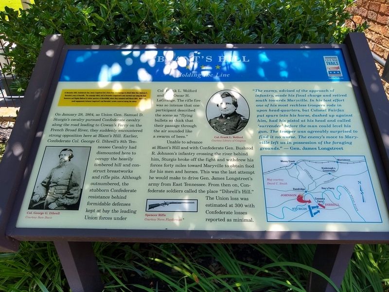
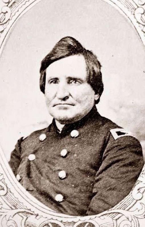
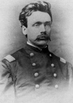
On January 28, 1864, as Union General Samuel D. Sturgis’s cavalry pursued Confederate cavalry along the road leading to Cowan’s Ferry on the French Broad River, they suddenly encountered strong opposition here at Blant’s Hill. Earlier, Confederate Col. George G. Dibrell’s 8th Tennessee Cavalry had dismounted here to occupy the heavily timbered hill and construct breastworks and rifle pits. Although outnumber, the stubborn Confederate resistance behind formidable defenses kept at bay the leading Union forces under Col. Frank L. Wolford and Col. Oscar H. LaGrange. The rifle fire was so intense that one participant described the scene as “flying bullets so thick that their passage through the air sounded like a swarm of bees”.
Unable to advance at Blant’s hill and with Confederate Gen. Bushrod R. Johnson’s infantry crossing the river behind him Sturgis broke off the fight and withdrew his forces forty miles toward Maryville to obtain food for his men and horses. This was the last attempt he would make to drive Gen. James Longstreet’s army from East Tennessee. From then on, Confederate soldiers called the place “Dibrell’s Hill”. The Union loss was estimated at 300 with the Confederate losses reported as minimal.
“The enemy, advised of the approach of infantry, made his final charge and retired south towards Maryville. In his last effort one of his most reckless troopers rode in upon head-quarters, but Colonel Fairfax put spurs to his horse, dashed up against him had his pistol at his head and called ‘surrender’ before the man could level his gun. The trooper was agreeably surprised to find it no worse. The enemy’s move to Maryville left us in possession of the foraging grounds.” — Gen. James Longstreet
Erected by Tennessee Civil War Trails.
Topics and series. This historical marker is listed in this topic list: War, US Civil. In addition, it is included in the Tennessee Civil War Trails series list. A significant historical date for this entry is January 28, 1864.
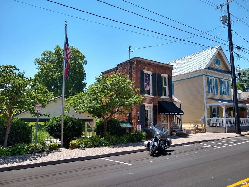
Location. 36° 0.923′ N, 83° 24.853′ W. Marker is in Dandridge, Tennessee, in Jefferson County. Marker is at the intersection of East Main Street and Graveyard Alley, on the right when traveling east on East Main Street. Touch for map. Marker is at or near this postal address: 137 E Main St, Dandridge TN 37725, United States of America. Touch for directions.
Other nearby markers. At least 8 other markers are within walking distance of this marker. The Dike That Saved Dandridge (within shouting distance of this marker); In Memory of the Revolutionary Soldiers Buried Here (within shouting distance of this marker); Attack on Dandridge (about 400 feet away, measured in a direct line); J. C. Turnley's Mill Place Grindstone (about 400 feet away); Jefferson County Jail (about 400 feet away); Battle of Dandridge (about 500 feet away); Dandridge and the TVA: “Good News Came to Dandridge” (about 500 feet away); McCuistion (approx. ¼ mile away). Touch for a list and map of all markers in Dandridge.
Credits. This page was last revised on June 19, 2020. It was originally submitted on June 18, 2020, by Tom Bosse of Jefferson City, Tennessee. This page has been viewed 474 times since then and 56 times this year. Photos: 1, 2, 3, 4, 5. submitted on June 18, 2020, by Tom Bosse of Jefferson City, Tennessee. • Bernard Fisher was the editor who published this page.
