Corryton in Knox County, Tennessee — The American South (East South Central)
George Mann
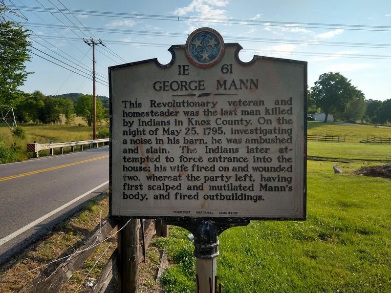
Photographed by Tom Bosse, June 2, 2020
1. George Mann Marker
This Revolutionary veteran and homesteader was the last man killed by Indians in Knox County. On the night of May 25, 1795, investigating a noise in the barn, he was ambushed and slain. The Indians later attempted to force entrance into the home; his wife fired on and wounded two, whereat the party left, having first scalped and mutilated Mann’s body, and fired outbuildings.
Erected by Tennessee Historical Commission. (Marker Number 1E 61.)
Topics and series. This historical marker is listed in these topic lists: Indigenous Peoples and Communities • Settlements & Settlers. In addition, it is included in the Tennessee Historical Commission series list. A significant historical date for this entry is May 25, 1795.
Location. 36° 8.983′ N, 83° 50.723′ W. Marker is in Corryton, Tennessee, in Knox County. It is on Tazewell Pike (Tennessee Route 131), on the right when traveling north. Touch for map. Marker is in this post office area: Corryton TN 37721, United States of America. Touch for directions.

Regionally, this marker is in East Tennessee and in Greater Knoxville. It is also in the American South, specifically in
this page online
Other nearby markers. At least 8 other markers are within 7 miles of this marker, measured as the crow flies: Nicholas Gibbs Homestead (approx. 1.8 miles away); Nicholas Gibbs (approx. 2.1 miles away); Sawyer's Fort (approx. 5.1 miles away); Racoon Valley (approx. 5½ miles away); Wilson Park (approx. 6.3 miles away); Veterans Memorial Bridge (approx. 6.3 miles away); Mr. Anderson's Log College (approx. 6.6 miles away); Norris Freeway (approx. 6.8 miles away). Touch for a list and map of all markers in Corryton.
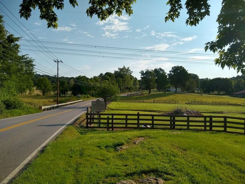
Photographed by Tom Bosse, June 2, 2020
2. George Mann Marker
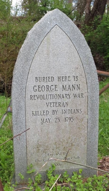
Photographed by Robert Reed, April 21, 2022
3. George Mann Gravestone
His gravestone is outside of the cave.
Credits. This page was last revised on April 23, 2022. It was originally submitted on June 18, 2020, by Tom Bosse of Jefferson City, Tennessee. This page has been viewed 1,747 times since then and 141 times this year. Photos: 1, 2. submitted on June 18, 2020, by Tom Bosse of Jefferson City, Tennessee. 3. submitted on April 21, 2022, by Robert Reed of Luttrell, Tennessee. • J. Makali Bruton was the editor who published this page.
