Near Dorris in Siskiyou County, California — The American West (Pacific Coastal)
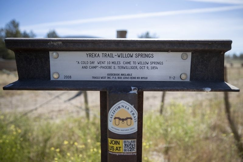
Yreka Trail - Willow Springs
Photographed by Douglass Halvorsen, June 19, 2020
1. Yreka Trail - Willow Springs Marker
"A cold day went 10 miles came to Willow Springs and camp" - Phoebe S. Terwilliger, Oct. 9, 1854
Erected 2008 by Trails West, Inc. (Marker Number Y-2.)
Topics and series. This historical marker is listed in this topic list: Roads & Vehicles. In addition, it is included in the California Trail, the Trails West Inc., and the Yreka Trail series lists. A significant historical year for this entry is 1854.
Location. 41° 48.364′ N, 121° 43.981′ W. Marker is near Dorris, California, in Siskiyou County. It can be reached from Willow Creek and Red Rock Road, on the right. Marker is accessible by taking a dirt track road traveling east from Willow Creek Red Rock Road along a fence line to a fence corner and marker location. This marker is located as close to Willow Springs as publicly accessible along the Yreka Trail. Human development has eliminated virtually any trace of the original trail through this area. Touch for map. Marker is in this post office area: Dorris CA 96023, United States of America. Touch for directions.

Regionally, this marker is on the Modoc Plateau, in the Shasta Cascade, and in the Klamath Mountains.
this page online
Other nearby markers. At least 8 other markers are within 10 miles of this marker, measured as the crow flies: Yreka Trail - Over Rocky Roads (approx. 3.1 miles away); South Road - Forks Of The Yreka Trail / Yreka Trail - The Trail Forks (approx. 3.7 miles away); Applegate Trail - Quite Rocky (approx. 5 miles away); Yreka Trail - No Water (approx. 7.2 miles away); Applegate Trail - Campt (approx. 7.8 miles away); Beds of Lava (approx. 8.7 miles away); Civilian Conservation Corps (approx. 8.9 miles away); Modoc War Casualties (approx. 9.2 miles away).
Another marker is no longer nearby. River of Rocks - The Devils Homestead Lava Flow (was approx. 8.9 miles away but has been confirmed missing).
More about this marker. A number of Trails West, Inc. markers (like this one)
Photographed by Douglass Halvorsen, June 19, 2020
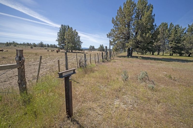
2. Yreka Trail - Willow Springs Marker
View of marker looking SW along where the approximate trail headed.
Regarding Yreka Trail - Willow Springs. Trails West, Inc. sells a driving guidebook titled A Guide to the Yreka Trail which provides maps and additional history on the Yreka Trail as it passed through designated marker locations. Purchasing this guidebook prior to visiting the Yreka Trail markers is highly encouraged to gain a better experience of the history of this historic trail.
Photographed by Douglass Halvorsen, June 19, 2020
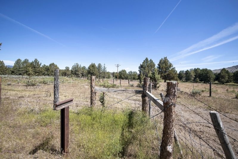
3. Yreka Trail - Willow Springs Marker
View of marker looking NE towards Willow Springs in the distance.
Credits. This page was last revised on June 22, 2020. It was originally submitted on June 20, 2020, by Douglass Halvorsen of Klamath Falls, Oregon. This page has been viewed 289 times since then and 27 times this year. Photos: 1, 2, 3. submitted on June 20, 2020, by Douglass Halvorsen of Klamath Falls, Oregon. • Syd Whittle was the editor who published this page.
