
Near Macdoel in Siskiyou County, California — The American West (Pacific Coastal)
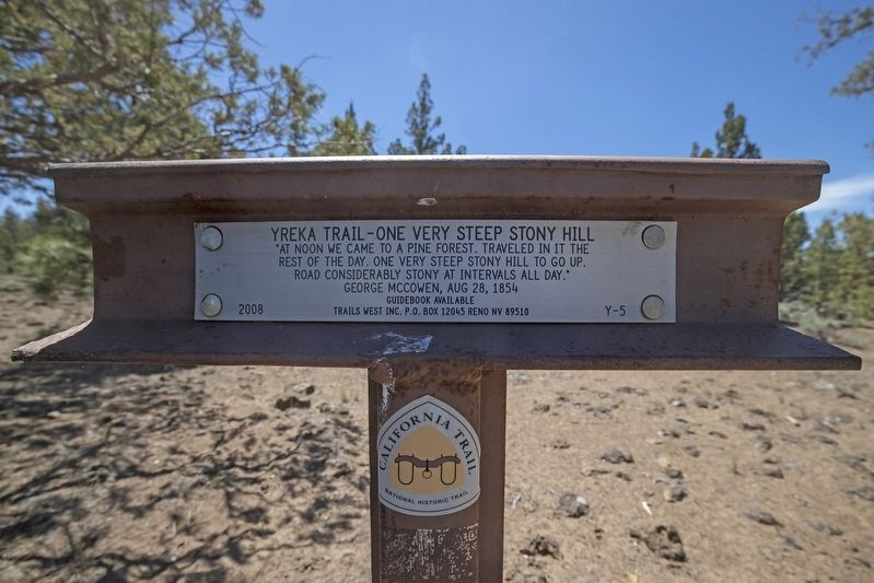
Yreka Trail - One Very Steep Stony Hill
Photographed by Douglass Halvorsen, June 19, 2020
1. Yreka Trail - One Very Steep Stony Hill Marker
- George McCowen, Aug 28, 1854
Erected 2008 by Trails West, Inc. (Marker Number Y-5.)
Topics and series. This historical marker is listed in this topic list: Roads & Vehicles. In addition, it is included in the California Trail, the Trails West Inc., and the Yreka Trail series lists. A significant historical date for this entry is August 28, 1854.
Location. 41° 46.05′ N, 121° 57.213′ W. Marker is near Macdoel, California, in Siskiyou County. It can be reached from no nearby street. The marker is located south of a dirt track road heading west/southwest. You'll need to park your vehicle on the road and walk about 50 yards south to marker location. You may access the dirt road to the marker from Red Rock Rd to the east at the following coordinates: 41°46'57.5"N 121°55'05.5"W. A high-clearance 4x4 vehicle is required to visit this marker and in good weather (summer months). This road is very bumpy and very rocky and there are three gates you must pass through (please close gates
this page online

Regionally, this marker is on California’s Modoc Plateau, in the Shasta Cascade, and in the Klamath Mountains. It is also in the American Mountain West and specifically in the Pacific Northwest. Globally, it is in North America, in the Cascade Range, on the Ring of Fire, in the Pacific Rim, in the Western Hemisphere, in the Western World, and in the Anglosphere. Historically, it finds itself in what was once New Spain and also Mexico’s Alta California.
Other nearby markers. At least 8 other markers are within 10 miles of this marker, measured as the crow flies: Yreka Trail - Quite a Stream (approx. 2.6 miles away); Yreka Trail - Quite Stony Today (approx. 3½ miles away); Yreka Trail - No Water (approx. 4.8 miles away); Yreka Trail - Up Butte Creek (approx. 5.3 miles away); Yreka Trail - Out of Danger (approx. 5.8 miles away); Yreka Trail - Near a Little Lake
Photographed by Douglass Halvorsen, June 19, 2020
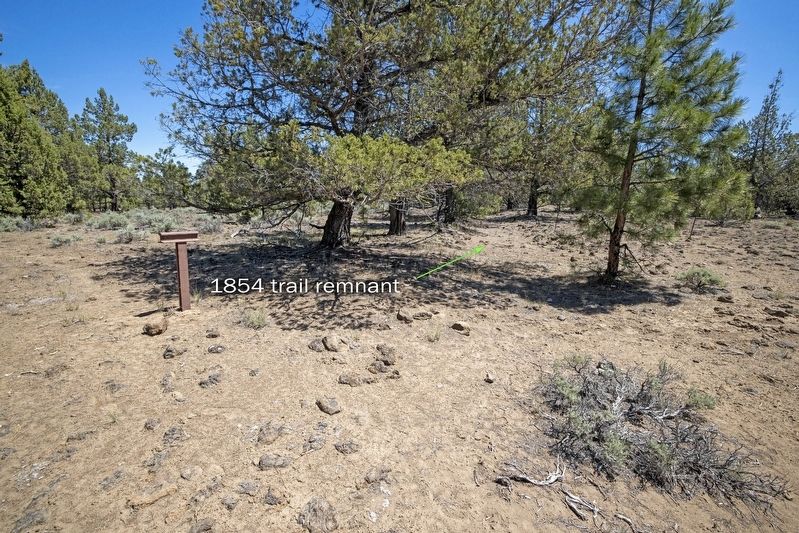
2. Yreka Trail - One Very Steep Stony Hill Marker
View of marker with an original 1854 trail remnant visible with a small swale and rocks on either side.
More about this marker. A number of Trails West, Inc. markers (like this one) are located on private property and have had authorization from land owners to allow visitors on their property. PLEASE be respectful of the land and STAY ON THE DIRT ROADS to the marker locations.
This marker is part of the 1854 trail split from the original 1852 route. This 1854 section of the trail was an easier route than the 1852 route as it passed through Red Rock Valley.
Regarding Yreka Trail - One Very Steep Stony Hill. Trails West, Inc. sells a driving guidebook titled A Guide to the Yreka Trail which provides maps and additional history on the Yreka Trail as it passed through designated marker locations. Purchasing this guidebook prior to visiting the Yreka Trail markers is highly encouraged to gain a better experience of the history of this historic trail.
Photographed by Douglass Halvorsen, June 19, 2020
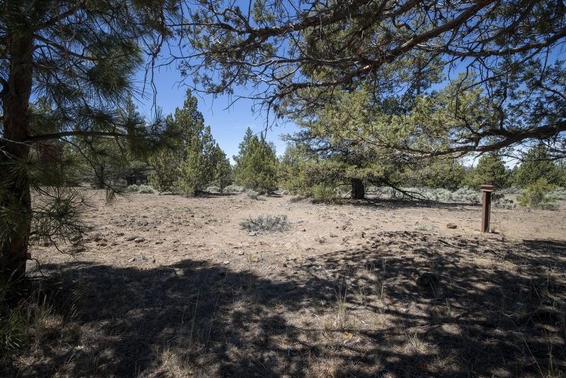
3. Yreka Trail - One Very Steep Stony Hill Marker
View of marker in the distance and along a visible remnant of the 1854 trail route as it heads SW.
Credits. This page was last revised on February 5, 2026. It was originally submitted on June 20, 2020, by Douglass Halvorsen of Klamath Falls, Oregon. This page has been viewed 293 times since then and 28 times this year. Photos: 1, 2, 3. submitted on June 20, 2020, by Douglass Halvorsen of Klamath Falls, Oregon. • Syd Whittle was the editor who published this page.
