Sabine-Neches Canal
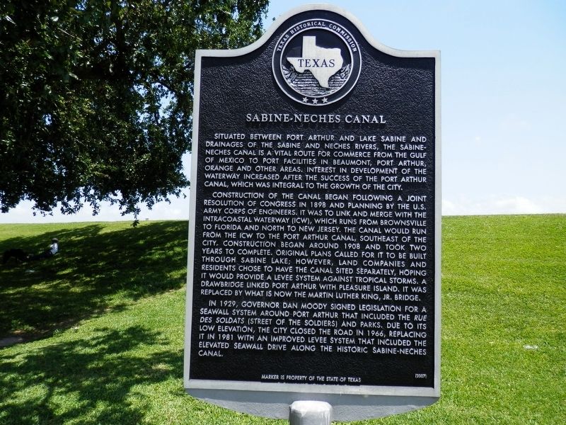
Situated between Port Arthur and Lake Sabine and drainages of the Sabine and Neches Rivers, the Sabine-Neches Canal is a vital route for commerce from the Gulf of Mexico to port facilities in Beaumont, Port Arthur, Orange and other areas. Interest in development of the waterway increased after the success of the Port Arthur Canal, which was integral to the growth of the city.
Construction of the canal began following a joint resolution of Congress in 1898 and planning by the U.S. Army Corps of Engineers. It was to link and merge with the Intracoastal Waterway (ICW), which runs from Brownsville to Florida and north to New Jersey. The canal would run from the ICW to the Port Arthur Canal, southeast of the city. Construction began around 1908 and took two years to complete. Original plans called for it to be built through Sabine Lake; however, land companies and residents chose to have the canal sited separately, hoping it would provide a levee system against tropical storms. A drawbridge linked port Arthur with Pleasure Island. It was replaced by what is now the Martin Luther King, Jr. Bridge.
In 1929, Governor Dan Moody
this page online
Marker is property of the state of Texas
Erected 2007 by Texas Historical Commission. (Marker Number 14028.)
Topics. This historical marker is listed in this topic list: Waterways & Vessels.
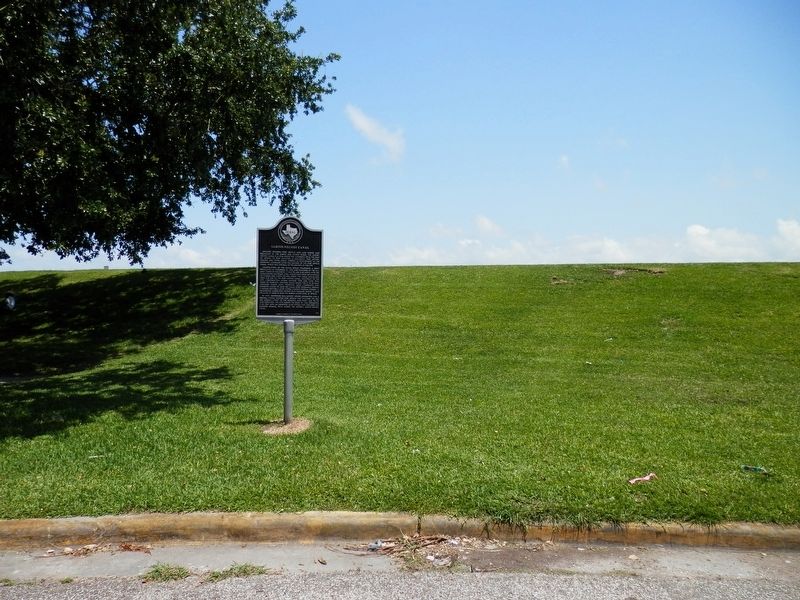
Location. 29° 53.367′ N, 93° 54.913′ W. Marker is in Port Arthur, Texas, in Jefferson County. It is at the intersection of Lakeshore Drive and Woodworth Boulevard, on the right when traveling north on Lakeshore Drive. Touch for map. Marker is in this post office area: Port Arthur TX 77640, United States of America. Touch for directions.
Regionally, this marker is in the Golden Triangle. It is also in the American South, on the Gulf Coast, and in the Piney Woods. Globally, it is in North America, a Gulf of Mexico state, the Western Hemisphere, the Western World,
Other nearby markers. At least 8 other markers are within walking distance of this marker: The Woodworth House (within shouting distance of this marker); a different marker also named The Woodworth House (within shouting distance of this marker); Site of Old Aurora (about 700 feet away, measured in a direct line); Sparks Settlement Cemetery (approx. 0.3 miles away); Community Retirement Home (approx. 0.3 miles away); Trinity Lutheran Church (approx. 0.4 miles away); Babe Didrikson Zaharias (approx. 0.6 miles away); John Warne Gates (approx. 0.6 miles away). Touch for a list and map of all markers in Port Arthur.
Credits. This page was last revised on June 21, 2020. It was originally submitted on June 21, 2020, by Cajun Scrambler of Assumption, Louisiana. This page has been viewed 574 times since then and 56 times this year. Photos: 1, 2. submitted on June 21, 2020, by Cajun Scrambler of Assumption, Louisiana.
