Near Fairfax in Fairfax County, Virginia — The American South (Mid-Atlantic)
Attack of General Birney’s Brigade
★ The Battle of Ox Hill ★
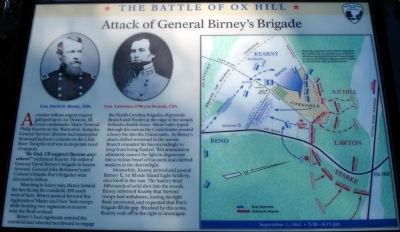
A courier with an urgent request galloped up to 1st Division, III Corps commander Major General Philip Kearny on the Warrenton Turnpike. General Stevens’ division had intercepted Stonewall Jackson’s column on the Little River Turnpike and was in desperate need of support.
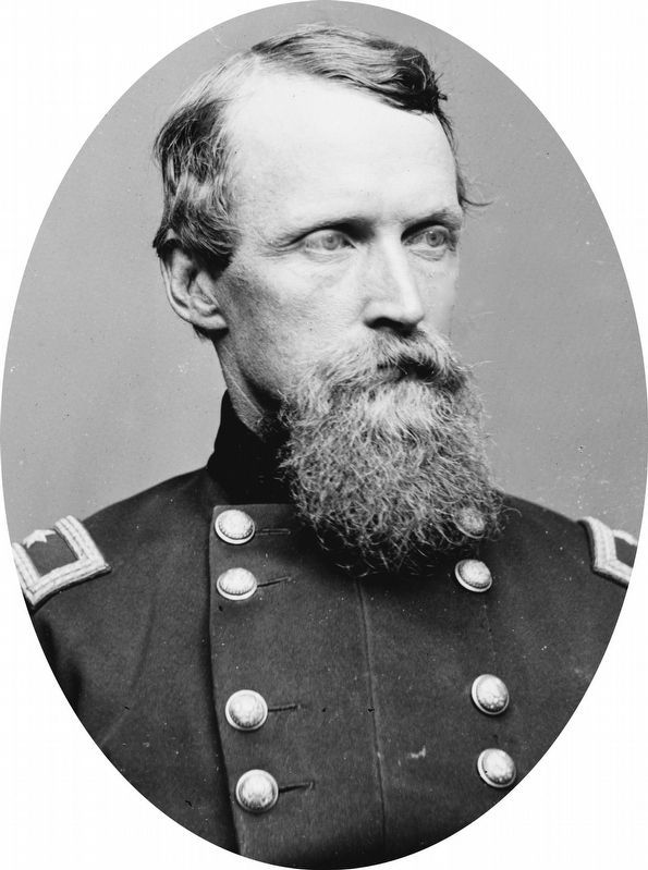
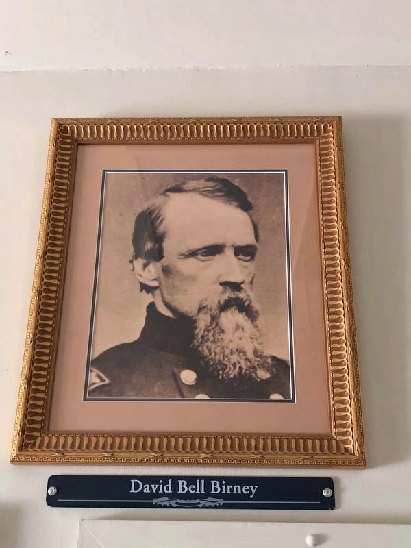
“By God, I’ll support Stevens anywhere!” exclaimed Kearny. He ordered General David Birney’s brigade to hasten forward. General John Robinson’s and Colonel Orlando Poe’s brigades were directed to follow.
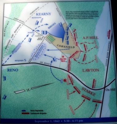
Marching in heavy rain, Birney formed his line facing the cornfield, 450 yards west of here. Birney pushed forward five regiments of Maine and New York troops while holding two regiments in reserve near the Reid orchard.
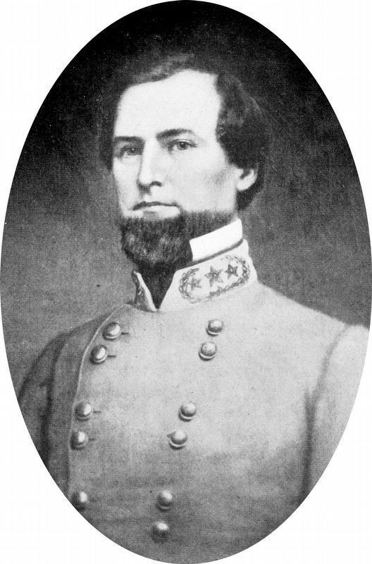
Birney’s lead regiments entered the cornfield and wheeled northward to engage the North Carolina brigades of generals Branch and Pender at the edge of the woods behind a double fence. Minie balls ripped through the corn as the Confederates poured a heavy fire into the Union ranks. As Birney’s attack shifted westward in the woods, Branch extended his line accordingly to keep from being flanked. Wet ammunition ultimately caused the fight to degenerate into a vicious brawl of bayonets and clubbed muskets in the dim twilight.
Meanwhile, Kearny arrived and posted Battery E, 1st Rhode Island Light Artillery, on a knoll in the rear. The battery fired 100 rounds of solid shot into the woods. Birney informed Kearny that Stevens’ troops had withdrawn, leaving his right flank uncovered, and requested that Poe’s brigade fill the gap. Shocked by this news, Kearny rode off to the right to investigate.
Erected 2008 by Fairfax County Park Authority.
Topics. This historical marker is listed in this topic list: War, US Civil.
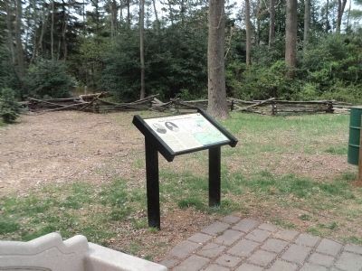
Location. 38° 51.883′ N, 77° 22.252′ W. Marker is near Fairfax, Virginia, in Fairfax County. Marker can be reached from West Ox Road (Virginia Route 608). Located at the third trail stop wayside at the Ox Hill Battlefield Park Interpretive Trail. Touch for map. Marker is at or near this postal address: 4134 West Ox Road, Fairfax VA 22033, United States of America. Touch for directions.
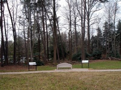
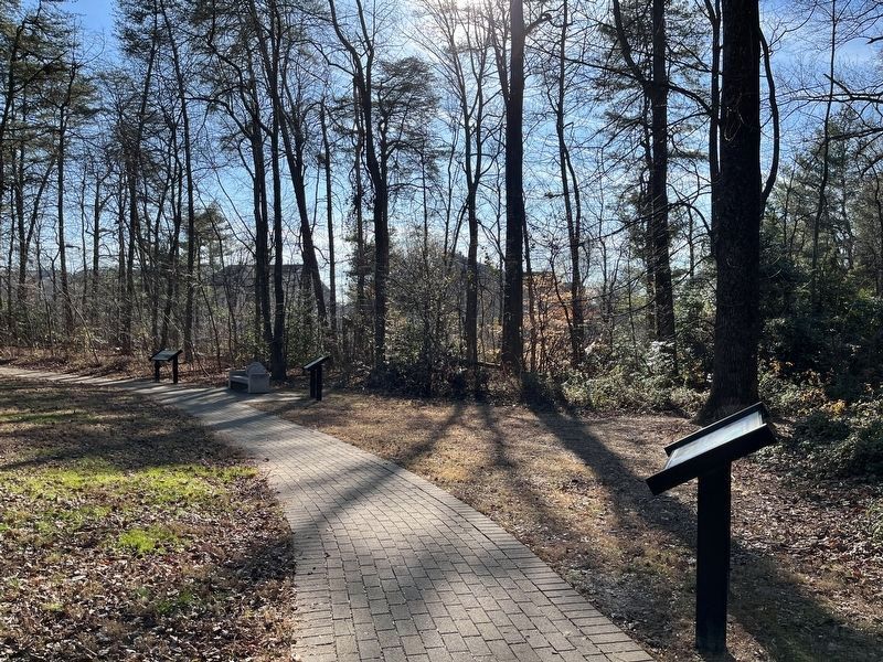
Other nearby markers. At least 8 other markers are within walking distance of this marker. The Battle of "Chantilly" (Ox Hill) — Then & Now (here, next to this marker); The Death of General Kearny (a few steps from this marker); The Attack and Death of General Stevens (within shouting distance of this marker); Boulders and Quartz Stone (about 300 feet away, measured in a direct line); Major General Philip Kearny (about 300 feet away); The Battle of Ox Hill (about 300 feet away); a different marker also named Battle of Ox Hill (about 300 feet away); Maryland (Antietam / Sharpsburg) Campaign (about 300 feet away). Touch for a list and map of all markers in Fairfax.
More about this marker. On the upper left of the marker are two portraits captioned, Gen David B. Birney, USA and Gen. Lawrence O'Bryan Branch, CSA. On the right side of the marker is a battle map.
Also see . . . The Battle of Chantilly. Civil War Preservation Trust (Submitted on January 10, 2009.)
Credits. This page was last revised on August 17, 2023. It was originally submitted on January 10, 2009. This page has been viewed 1,158 times since then and 18 times this year. Photos: 1. submitted on January 10, 2009. 2. submitted on April 19, 2014, by Bill Coughlin of Woodland Park, New Jersey. 3. submitted on January 10, 2009. 4. submitted on December 22, 2022, by Adam Margolis of Mission Viejo, California. 5. submitted on January 10, 2009. 6, 7. submitted on September 13, 2020, by Allen C. Browne of Silver Spring, Maryland. 8. submitted on September 26, 2018, by Sandra Hughes Tidwell of Killen, Alabama, USA. • Craig Swain was the editor who published this page.
