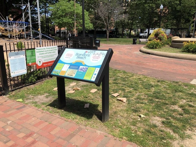
Downtown Providence in Providence County, Rhode Island — The American Northeast (New England)
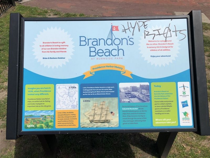
Providence Harbor History
Brandon's Beach at Burnside Park
1600s
Imagine you are here in 1636, when Providence looked very different.
Providence Harbor was full of ships, an active hub for fishing and trade. It played an important role as the city grew.
1700s
In the 1700s, the British occupied Newport, making that city a dangerous place to trade. Instead, merchants used Providence Harbor, which was protected by colonial forts on both sides.
1800s
Later, Providence Harbor became a major port, trading goods from all over the world. Ships docked along South Water Street and traveled up the river as far as Westminster Street.
1900s
As the birthplace of the American Industrial Revolution, Rhode Island's industry grew, as did the ships that used the Providence River. Ships became too big to travel through the center of the city, and began delivering their goods to India Point.
Today
Brandon's Beach at Burnside Park celebrates the rich history of the Providence Harbor.
Come inside and pretend you're a ship's captain, or even a pirate! Maybe you're a Providence merchant, or a sailor heading out to sea.
Where will your adventure take you?
Erected by Downtown Parks Conservancy, Providence; Hasbro; Providence Parks + Recreation.
Topics. This historical marker is listed in these topic lists: Colonial Era • Industry & Commerce • Waterways & Vessels. A significant historical year for this entry is 1636.
Location. 41° 49.524′ N, 71° 24.735′ W. Marker is in Providence, Rhode Island, in Providence County. It is in Downtown Providence. Marker is on Washington Street, 0.2 miles east of Dorrance Street, on the left when traveling east. Touch for map. Marker is at or near this postal address: 40 Kennedy Plaza, Providence RI 02903, United States of America. Touch for directions.
Other nearby markers. At least 8 other markers are within walking distance of this marker. A History of Kennedy Plaza (within shouting distance of this marker); a different marker also named A History of Kennedy Plaza (within shouting distance of this marker); a different marker also named A History of Kennedy Plaza (within shouting distance of this marker); Ambrose Burnside Memorial (within shouting distance of this marker); The Hiker (about 300 feet away, measured in a direct line); Union Station (about 300 feet away); Lionel Smit (about 300 feet away); Rhode Island Soldiers and Sailors Memorial (about 400 feet away). Touch for a list and map of all markers in Providence.
Credits. This page was last revised on February 8, 2023. It was originally submitted on June 21, 2020, by Devry Becker Jones of Washington, District of Columbia. This page has been viewed 262 times since then and 54 times this year. Photos: 1, 2. submitted on June 21, 2020, by Devry Becker Jones of Washington, District of Columbia.

