
Pawtucket in Providence County, Rhode Island — The American Northeast (New England)
Civil War Memorial
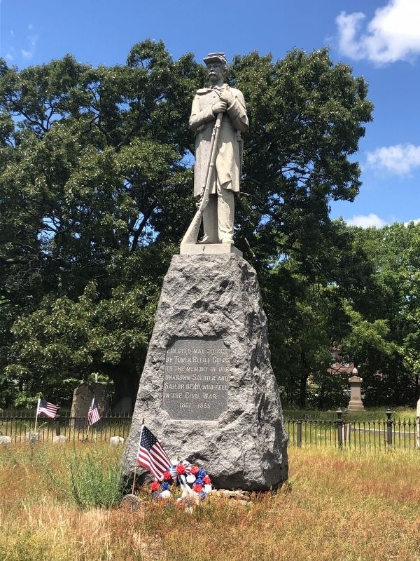
Erected May 30, 1932 by Tower Relief Corps to the memory of our unknown Soldier and Sailor dead, who fell in the Civil War.
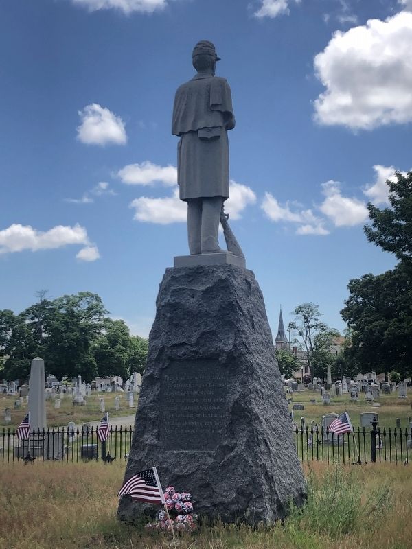
They laid down their lives
In Defense of our Nation
Immortal their deeds
And fearless their fame
Though sleeping unknown
They will not be forgotten
For angels watch over them
And God knows each name.
Erected 1932 by Tower Relief Corps.
Topics and series. This memorial is listed in this topic list: War, US Civil. In addition, it is included in the The Grand Army of the Republic series list.
Location. 41° 52.592′ N, 71° 23.605′ W. Memorial is in Pawtucket, Rhode Island, in Providence County. It can be reached from the intersection of Mineral Spring Avenue (Rhode Island Route 15) and Conant Street, on the right when traveling west. Touch for map. Memorial is at or near this postal address: 4815 Mineral Spring Ave, Pawtucket RI 02860, United States of America. Touch for directions.

Regionally, this memorial is in Rhode Island’s Blackstone Valley, in Greater Providence, and on Narragansett Bay. It is also in
this page online
Other nearby markers. At least 8 other markers are within walking distance of this marker: In Memory of Henrietta I. Drummond (about 600 feet away, measured in a direct line); The Leroy Theatre (approx. 0.4 miles away); Pawtucket Public Library (approx. half a mile away); Pawtucket Public Library / Old Pawtucket Post Office (approx. half a mile away); The Perfect Place (approx. half a mile away); Water Works (approx. half a mile away); Birthplace of American Manufacturing (approx. half a mile away); Wilkinson Mill (approx. 0.6 miles away). Touch for a list and map of all markers in Pawtucket.
Other markers no longer nearby. Waterpower (was approx. half a mile away but has been replaced with another marker now near it); Old Slater Mill (was approx. half a mile away but has been replaced with another marker now near it).
Credits. This page was last revised on June 21, 2020. It was originally submitted on June 21, 2020, by Devry Becker Jones of Washington, District of Columbia. This page has been viewed 284 times since then and 25 times this year. Photos: 1, 2. submitted on June 21, 2020, by Devry Becker Jones of Washington, District of Columbia.
